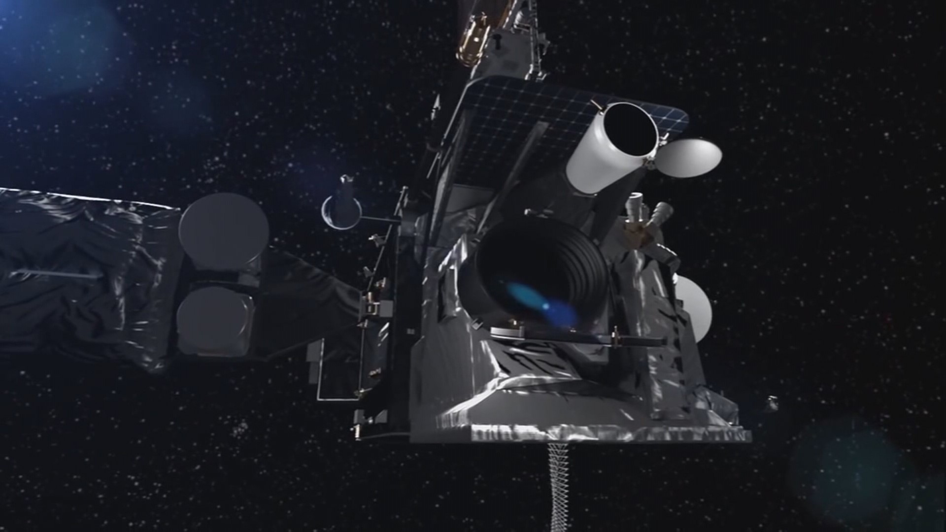
On March 1, NASA will launch the nation’s newest weather satellite "GOES West."
GOES stands for Geostationary Operational Environmental Satellite. West will be its main responsibility, watching down on the western states of the U.S. for the development of storms, wildfires, even picking up distress calls.
The first satellite, known GOES East, was launched in 2016 and spent much of a year being moved around over the U.S. and other locations, testing the new technologies on board, providing spectacular images of the earth, and effectively creating a satellite for the high definition era.
Like GOES East, GOES West will go by other names. If you hear GOES 17 or GOES S, we’re talking about the same spacecraft as it passes from its letter designation on the ground to its launch designation once it takes to space into a stable geosynchronous orbit.
Goes West has lots of tools on board.
ABI, the Advanced Baseline Imager that is providing many of those spectacular images of boiling storm clouds, hurricanes even forest fires. It can see 16 channels of light, two of which are visible to the human eye, but 14 that aren’t known as infrared. But that infrared visibility can see a lot, including water vapor at multiple altitudes, which wasn’t available before. That could give meteorologists data they don’t have now in making forecasts.
GLM is the Geostationary Lightning Mapper. Each second it can take hundreds of images of lighting. This is the first time a satellite in a fixed orbit has been able to watch lighting, which is considered an indicator of storm development. And for the first time, Lockheed Martin, which builds GOES for NASA and NOAA, says lighting can be seen in the eyewall of a hurricane, as we saw in multiple devastating hurricanes over the summer.
While the above-listed instruments look down on the earth, others look out at space. Space weather can damage our communications and electrical grid as the sun storms release X-rays and other particles toward Earth.
SUVI is the Solar Ultraviolet Imager, which keeps a full view of the Sun’s ultraviolet light
EXIS can detect solar flares which impact our magnetic field and upper atmosphere.
MAG is a magnetometer that can detect sudden magnetic storms.
SEISS is the Space Environment In-Situ Suite. It has sensors that monitor space charged particles to assess risk.
The satellites are assembled by Lockheed Martin in Littleton, Colo. One note: The small thrusters that help position the satellites are made by Aerojet Rocketdyne in Redmond, Wash.


