Temperatures around Puget Sound will drop into the 30s Sunday night into Monday morning, according to the National Weather Service.
Some areas of Western Washington, particularly the South Sound, could see temperatures dip into the 20s with fog or freezing fog Sunday night and Monday morning. Use caution when driving as some road surfaces could be slick.
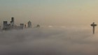
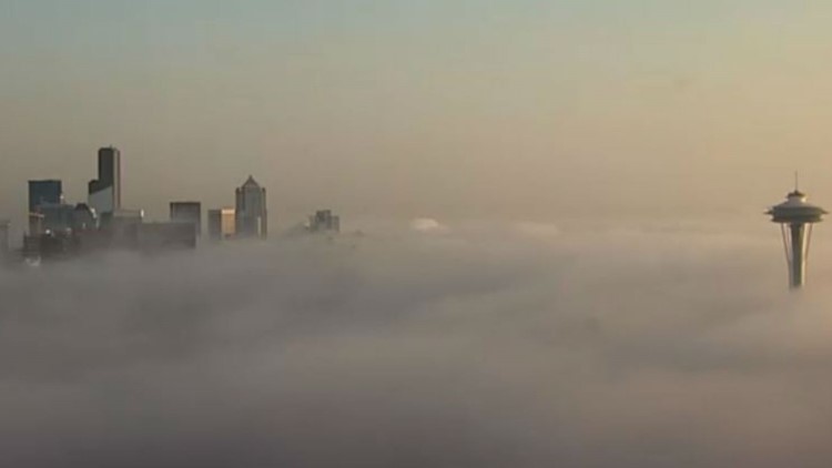
The recent cold comes on the heels of a record-breaking drop on Friday.
Friday was the coldest November 9 ever recorded at Sea-Tac Airport, according to the National Weather Service. Seattle’s high of 43 was the coldest since records started in 1945. The low at Sea-Tac Friday morning was 35.
The chill in the air is due to a few things happening in our weather pattern.
First, we haven't had cloud insulation to keep us warm. The clouds usually act as a blanket and help trap air that was heated by the sunshine. So without those clouds, all the daytime heat escapes into the air above.
Next, the winds were light and mainly out of the north and northeast. That wind direction dries out the air a bit, which brings us to the Greenhouse Effect. The Greenhouse Effect is a natural way the earth warms its surface by trapping some of the sunshine during the day, kind of like a greenhouse traps warm air under the glass. When it comes to our cold nights, what's important to know is that the most effective greenhouse gas is water vapor, or relative humidity. Water vapor helps hold heat so it doesn't get quite as cold as it does with less water vapor. Because we dried out a bit overnight with the north and northeast wind flow, that meant one chilly morning.