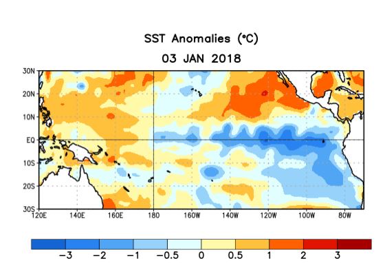
NOAA's Climate Prediction Center issued their monthly forecast for El Nino and La Nina. It confirms La Nina conditions continue in the tropical Pacific (below normal sea surface temperatures in a certain part of the tropical Pacific).

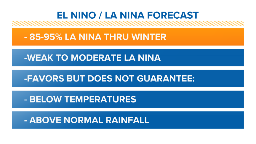
NOAA says there is now an 85-95% chance that a weak to moderate La Nina will continue through our winter.

Usually, La Nina winters increase the odds of below normal temperatures and above normal precipitation with lots of snow in the mountains during our winter months. But so far this year we haven't seen much evidence of it. In November the average temperature at Sea-Tac Airport actually was 1.3 degrees above normal, but rainfall was 2.06 inches above normal.
It was a mixed month.

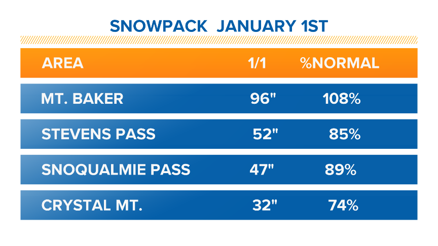
December was close to normal: Mean temperature was 0.6 degrees below normal and only 0.08 inches above normal for rainfall. The mountain snowpack, which had a good year with last winter's La Nina, was generally running a little below normal as of January 1.
What's up?
Well first, we are the only part way through the winter. It's still 68 days until spring arrives, so the averages could change. But this does emphasize the point that La Nina and La Nina only push the odds one way or another and don't guarantee any particular kind of winter.
And today's heavy rain and snow? Is this a sign of a shift to more La Nina like conditions? Maybe not. Snow levels rose later Thursday and the rain and snow let up. And we should see some sun and mild temperatures for part of the Martin Luther King Jr. holiday weekend.
As we always say - Stay tuned!


