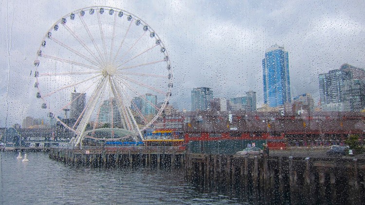
SEATTLE — Rain has returned to western Washington and will linger into the weekend.
The last measurable rain at the Seattle-Tacoma International Airport was 0.11 inches on Nov. 22, but the month ended by breaking the dry spell after Sea-Tac picked up 0.14 inches on Nov. 30.
The next system is forecasted to bring heavier rainfall and mountain snow. Already by Friday morning, many areas saw between a quarter to a half an inch of rain during morning commute hours.
Another push arrived Friday evening, with rain and snow peaking overnight Friday into early Saturday morning. There are expected to be on-and-off showers during the day Saturday.
A Wind Advisory is in effect for most of the Puget Sound region from Friday evening to Saturday morning. In Seattle, Tacoma, Everett and the southwest interior, south winds are expected between 30 and 35 miles per hour with gusts up to 50 mph. In San Juan, western Whatcom and western Skagit counties, winds could reach 40 mph with 55 mph gusts.
Later Saturday a strong warm front begins to push in from the south, and Sunday is expected to be rainy. The rain turns to off-and-on-showers Sunday evening.
A potent atmospheric river moves in on Monday and may stall over the state through most of Tuesday for periods of heavy rain. Snow levels rise above 7,000 feet bringing rain to the mountain passes.
The heavy rain on snow will create runoff that could affect, rivers, streams and roads. A Flood Watch is in effect for all of western Washington from late Saturday through early Thursday as a result. Landslides may be a concern as well.
The KING 5 weather team forecasts snow levels in the mountains to be between 2,000 and 3,000 feet through Saturday. Meteorologists said 1-2 feet of new snow is likely at pass levels with higher totals likely for higher elevations. The Olympics could get up to a foot of snow.
The North Cascade Highway closed for the season at 6 p.m. Thursday between the Ross Dam Trailhead and Silver Star Gate.


