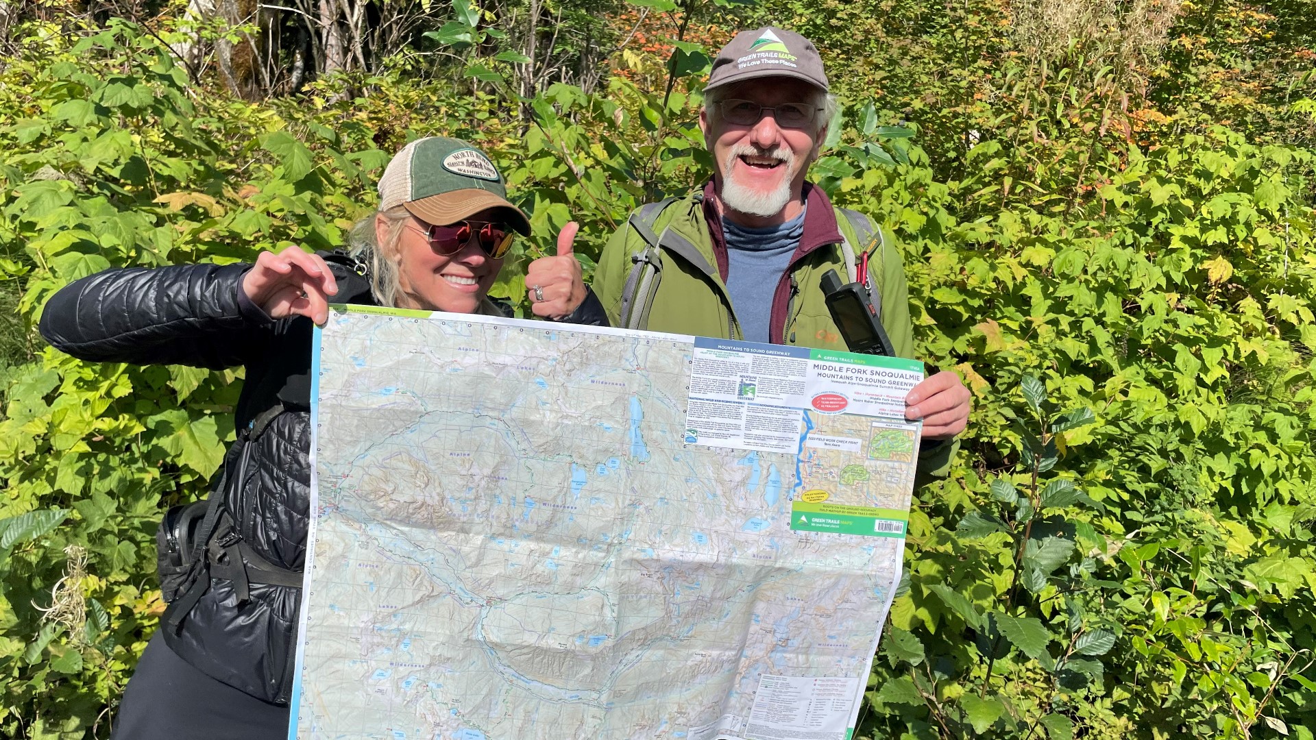
SEATTLE — There's something exciting about a paper map. Even if they are hard to fold. Tom Helleberg, publisher of Mountaineers Books sums it up:
"A good friend told me every great adventure starts with a map spread on top of a cooler preferably with a beer cans in each corner."
Green Trails Maps has been putting the places that we love on the map since 1973. Mountaineers Books distributes the maps all over the west - they're widely regarded as a hiking essential. Because in remote places a low tech map can be your best friend.
"It's $10 insurance policy. The batteries don't die. You drop your phone and it's busted, having that map in the back pocket is a cheap peace of mind," Helleberg said.
Hikers navigate from The Enchantments to Lake Ozette following the trademark green trails on these paper maps.
And hikers also make these maps. Like guidebook author Tami Asars: "I am a field researcher for them. I go out boots on the ground on trails and document maps."
Armed with a GPS tracker and a map in its rough draft stage, Asars is walking a trail that's just beginning to show fall color with cartographer Chuck Kitterman.
"Well, we're doing some field research for an update to the Middle Fork of the Snoqualmie map for Green Trails," Kitterman said.
On the relatively new Oxbow Loop Trail in North Bend, they gather first-hand information about trail features like nurse logs and rest stops that will go into a new map coming out in the spring of 2024.
Boots on the ground research is one of the things that sets Green Trails apart.
"I've probably contributed over 1,000 miles doing trails maps. And it's so much fun because this is my office," said Asars, sitting on a log bench she helped map and gesturing to the sunny river valley vista below.
Kitterman comes by his cartography chops naturally; he was the official navigator for his families roofing business when he was a child, using bulky Thomas Guide books. Making maps is a way for him to do what he loves now.
"Incorporating the outdoor experiences that I always wanted to do growing up," said Kitterman. "And using that to really produce art in the form of a map."
These maps are works of art.
"They're beautiful." Asars said. "I love to geek out on maps, just put them out on a table and stare at them and just enjoy looking at them and dreaming."
They're also snapshots of geologic history, like this map of Mount Saint Helens before the eruption. And this one, made afterwards, with the mountain's contours forever changed.
A good map tells a story....
"You kind of have to see the big picture. And the map can give you the bigger picture," Kitterman said.
And it's also an invitation to go out and find a story of your own.
"It's million places to go every map you open," Helleberg said.
KING 5's Evening celebrates the Northwest. Contact us: Facebook, Twitter, Instagram, Email.

