SEATTLE — The jet stream is a high-altitude stream of wind that helps drive our weather. It's also fast, and right now is super fast.
If you're aboard an airliner at say 35,000 feet, you could find yourself in the middle of the jet stream, and that could give a big boost to your ride.
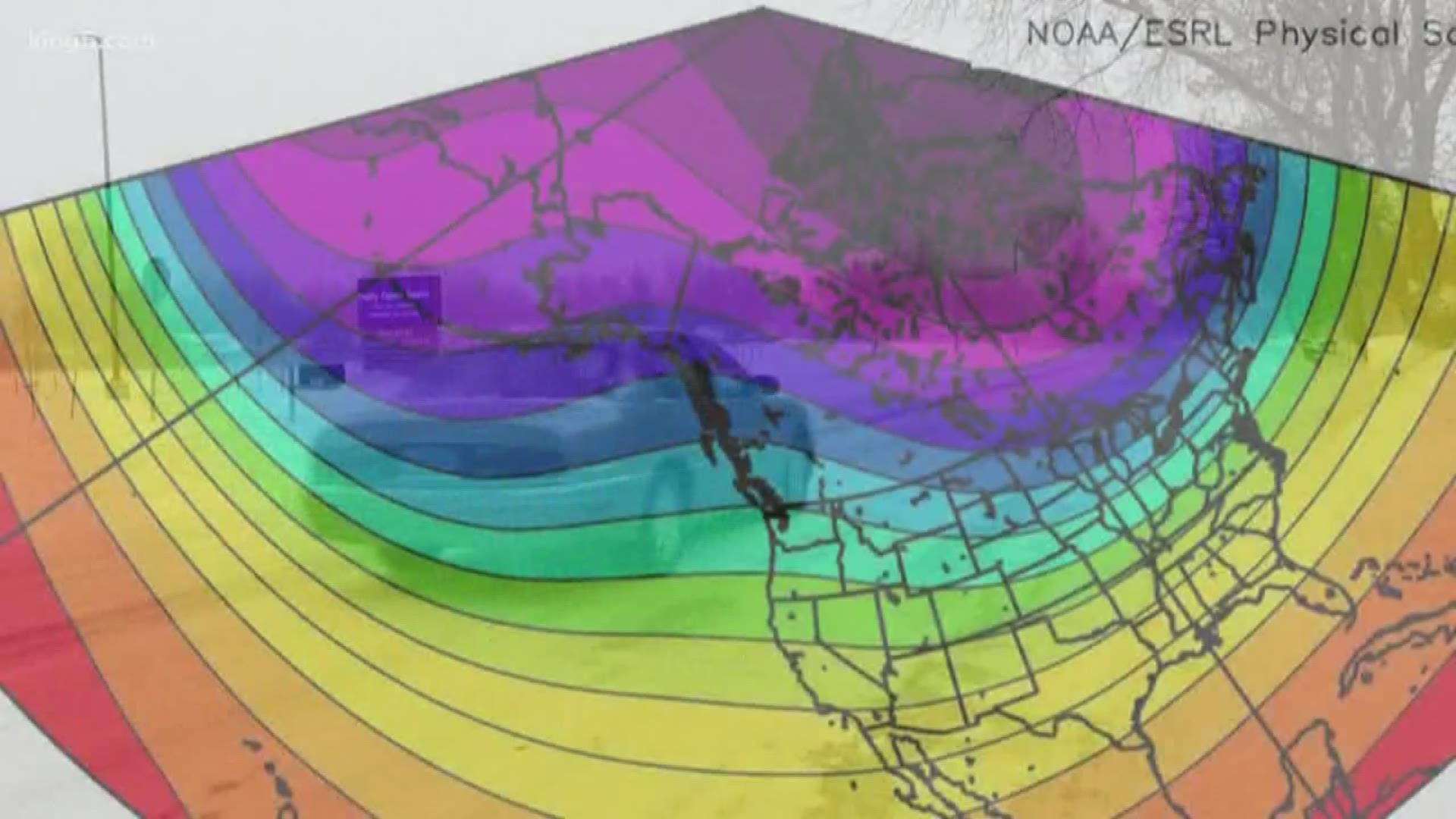
The map below shows Tuesday’s jet stream over North America. Winds in the light purple area ran about 230 mph. If you put a plane into that, tack on your typical 550 mph flight speed and your actual speed across the ground works out to be about 780 mph.


If you're on a flight in the jet stream heading east to Boston or New York, you're going to get there early. However, getting back west is likely to require a detour to avoid wasting fuel or a slowdown. Pilots would want to avoid the strongest winds which would also bring the risk of turbulence.
The fact is the jet stream has long affected our weather and the way it meanders in the atmosphere. Arching up and sagging down will steer our weather, and in the Pacific Northwest and across the country this has been a winter of extremes.
"It's highly unusual, and of course it’s impacting airline operations," said Washington State Climatologist Nick Bond, with the University of Washington's College of the Environment.
But the jet stream does more than just impact flights, it also affects our weather.
Bond says the amplitude of the jet stream, which Tuesday’s map shows huge arches and dips, is typically much flatter. Because of the up and down swings, western Washington saw a much nicer January than expected with temperatures even hitting 61 degrees at Sea-Tac Airport. Then it turned on us in February, bringing snow levels not seen in many years.
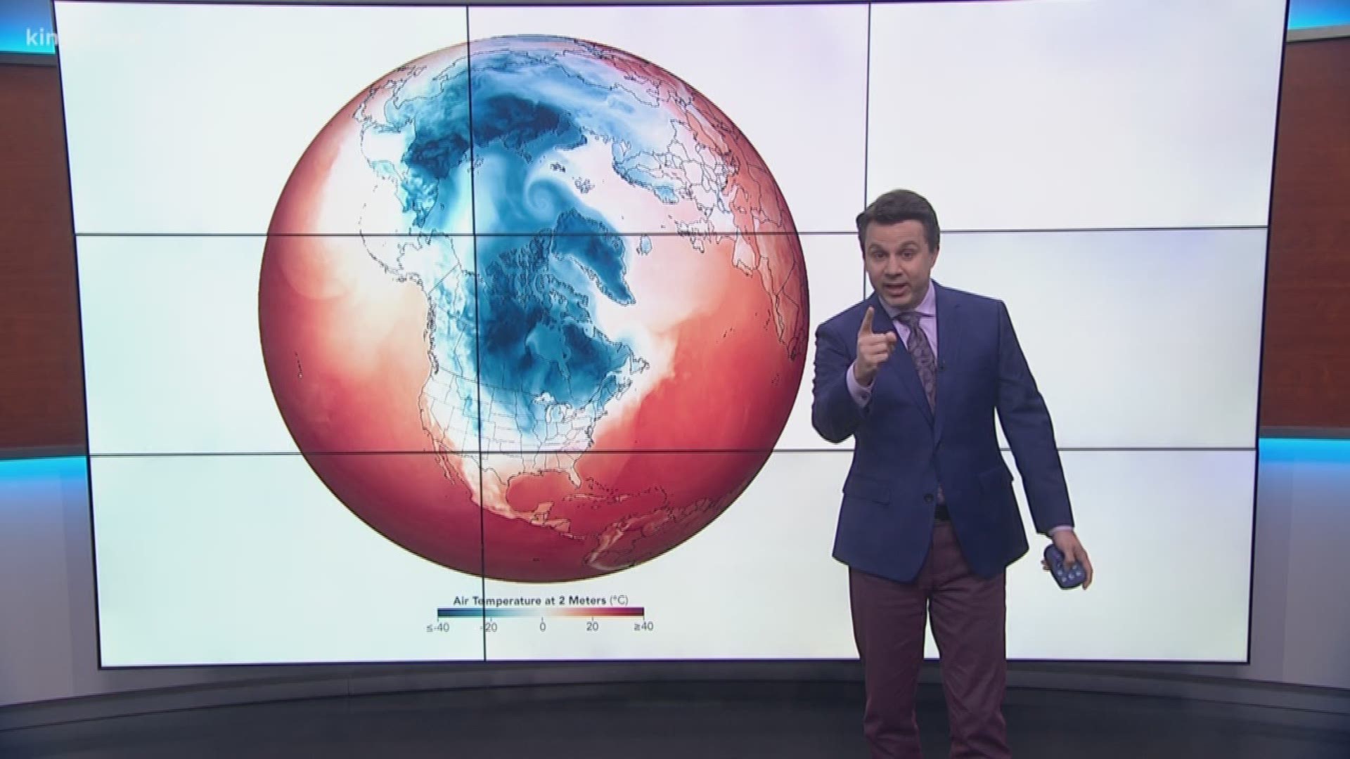
The same movement in the jet stream that brought in warmer air from the Pacific in January also plunged into the Midwest and South, pulling with it super cold air dubbed the "polar vortex."


