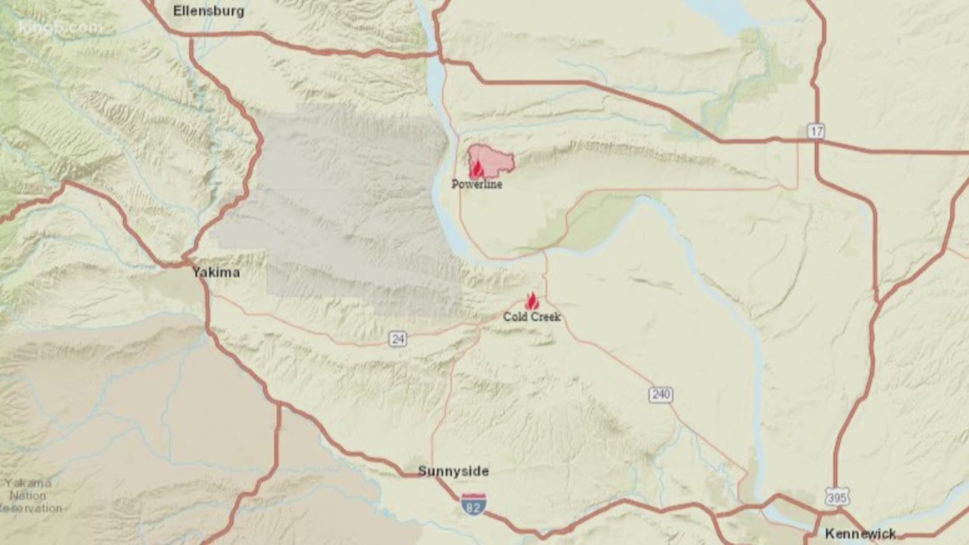
A wildfire in Benton County near the Yakima County line has grown to 41,920 acres, according to the Washington State Department of Natural Resources (DNR). The fire was 80 contained Saturday morning.
The Cold Creek Fire broke out Thursday on State Route 24 and jumped onto Rattlesnake Mountain, according to Benton County Fire Protection District #2. It is burning on the north slope of the mountain.
The fire nearly doubled in size overnight Thursday due to persistent winds, according to DNR.
Crews had planned to pre-burn the top of Rattlesnake Mountain to diminish fuel for the fire but decided to hold off on that measure until Friday, because crews “believe we can keep the fire contained where it’s at,” according to Benton County fire officials.
High winds and tough accessible terrain prevented crews from getting a good handle on the fire Thursday.
In early June, Benton County Fire said they put an alternate dozer line on the south side of the mountain as a preventative measure for this type of wildfire.
"We are hopeful this line will hold if it jumps the top of the mountain," Benton County fire officials said in a Facebook post.
Smoke from the Cold Creek Fire could be seen on GOES satellite Thursday afternoon. Satellite footage showed how the fire progressed, as well as the ground it had burned. Scarring from the Powerline Fire, which scorched at least 7,800 acres last week could also be seen on satellite.
Residents who live north of Acord Road are advised to turn on sprinklers or wet their yards and be prepared to evacuate if necessary, according to Benton County fire officials.
Several agencies responded to the wildfire, including Benton County Fire, Hanford Fire, Tri-Cities Fire, Walla Walla Fire, Bureau of Land Management, and U.S. Fish and Wildlife.

