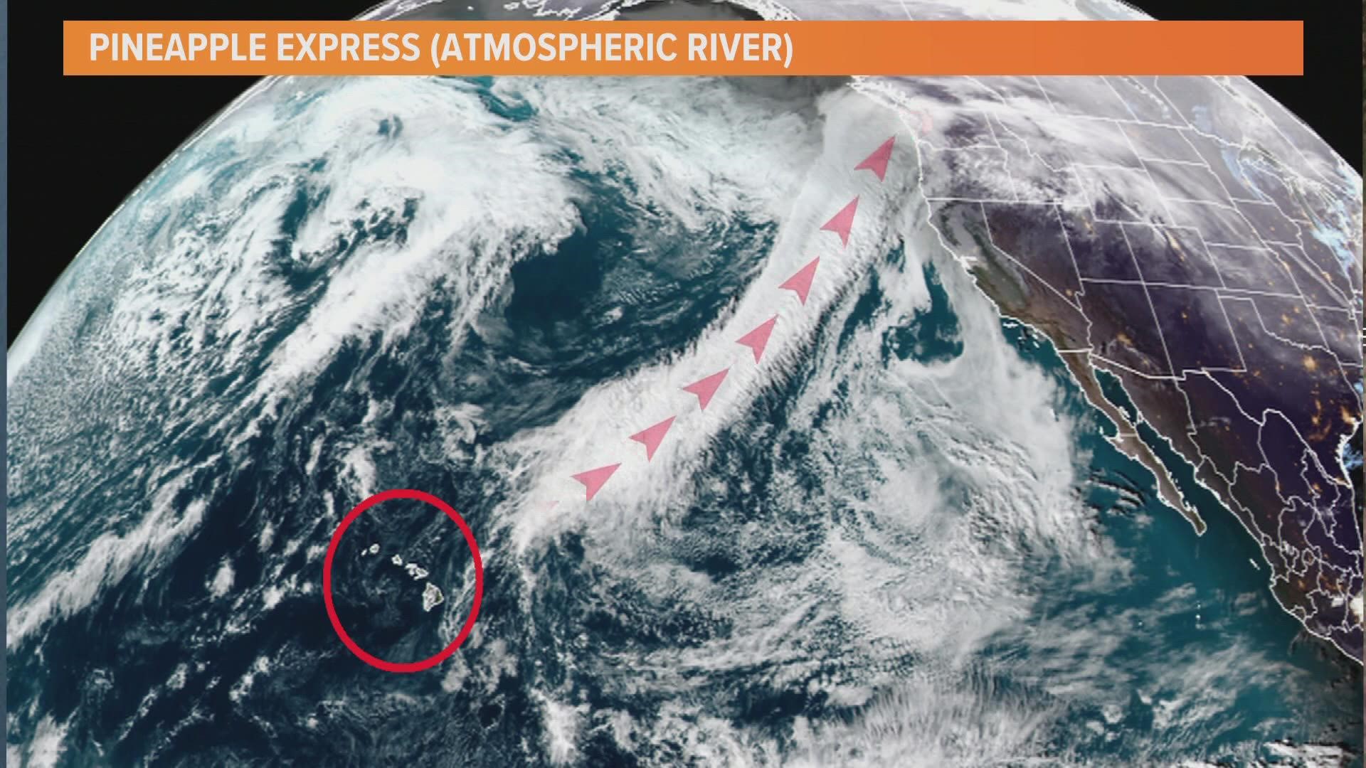
SEATTLE — An atmospheric river that will last into early next week is making its way over western Washington.
The system prompted the National Weather Service (NWS) to issue a Hydrologic Outlook.
A Hydrologic Outlook was issued to alert the public of potentially heavy rainfall that could cause area rivers and streams to flood or aggravate flooding that is already happening.
Atmospheric rivers bring moderate to heavy precipitation into the region, sometimes for days on end. This first atmospheric river is anticipated to bring between 0.5 inches to 1.5 inches to the lowlands through Saturday afternoon, with a potential for 2 to 4 inches of rain in the mountains and up to 2 inches in coastal areas.
The system is also expected to usher in milder temperatures, raising snow levels between 7,000 and 8,000 feet, leading to some snowmelt. Temperatures may be as much as 10 degrees higher than normal by Sunday.
A second atmospheric river is expected to arrive Sunday, bringing an additional 1 to 3 inches of precipitation to the mountains, with less expected for the lowlands.
This weather pattern could result in water over roadways and "minor nuisance flooding" in areas with poor drainage, according to the NWS.
The areas expected to be most impacted by the rain include the Olympic Peninsula and the North Cascades, however, that could change. The prolonged rainfall may keep the Skokomish River above minor flood stage for several days, with the potential for reaching moderate flood stage at some point. The heavy rain means an elevated risk of landslides lasting into next week.
A third atmospheric river is expected to bring another round of moderate to heavy precipitation between Tuesday and Wednesday. Cooler temperatures are forecasted to return on Thursday, dropping snow levels down to mountain pass level.

