The Seattle Department of Transportation released a Winter Weather Map that shows where plows have been, and where they are planning to go next.
The dark blue line indicates roads that have been serviced in the past hour. The lighter blue line shows roads that have been cleared in the past three hours, and the lightest blue line indicates streets that were cleared in the past 12 hours.
A dropdown menu on the right side of the map includes Service Goals with a green line that shows where plows plan to go next.
The Storm Response Map also includes reported obstacles, traffic cameras, and cold weather shelters within Seattle city limits.
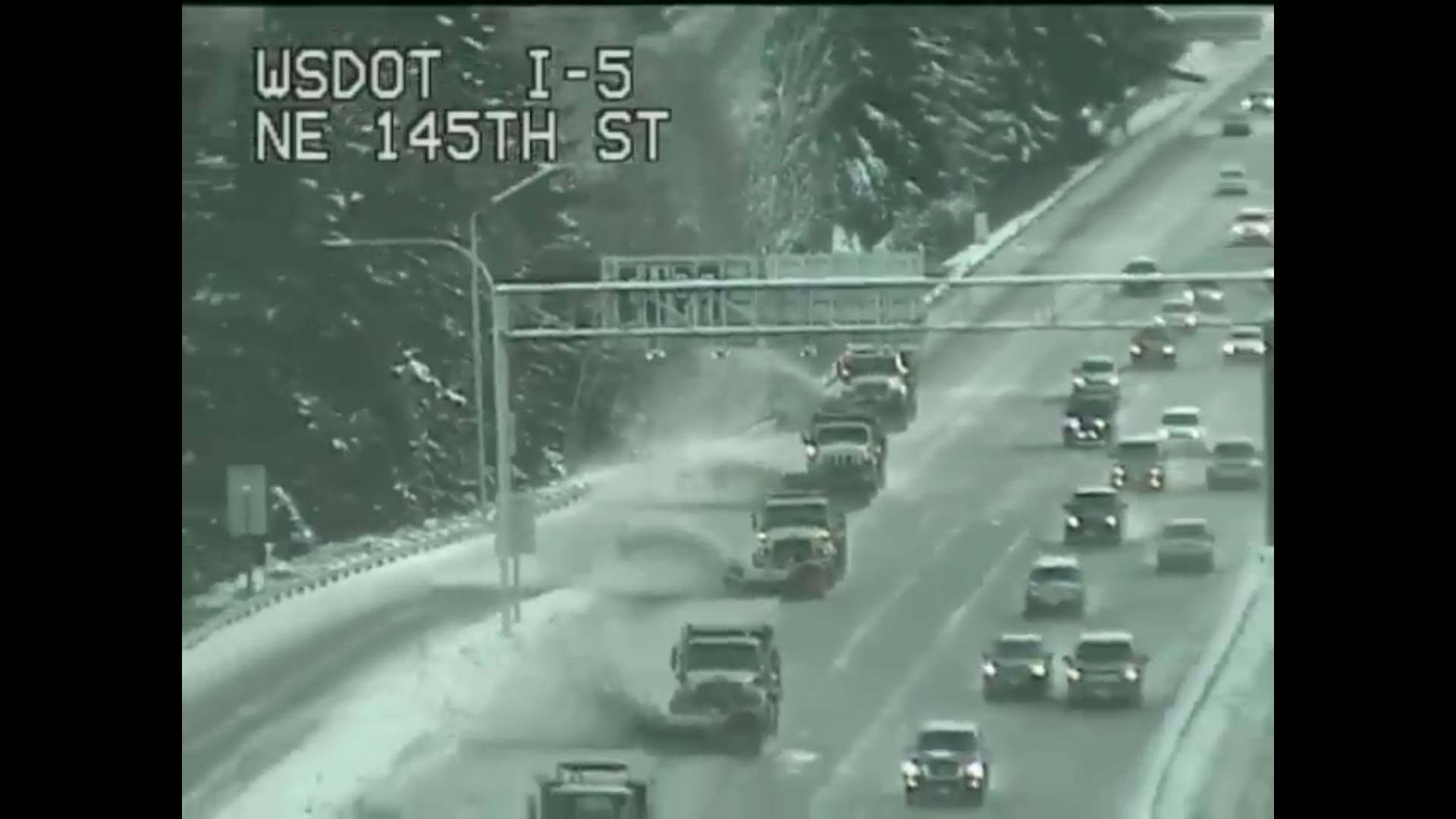
The Washington Department of Transportation is in charge of clearing state highways and freeways.