Washington state's tsunami risks are only half-mapped, and more money is needed to finish the job.
The Washington Department of Natural Resources is asking for $543,200 over the next two years to hire three additional staff members to finish mapping the state's tsunami risks. Beyond that, another $493,200 is needed each year to maintain the mapping project as new fault lines are discovered, and the state's tsunami risks keep evolving.
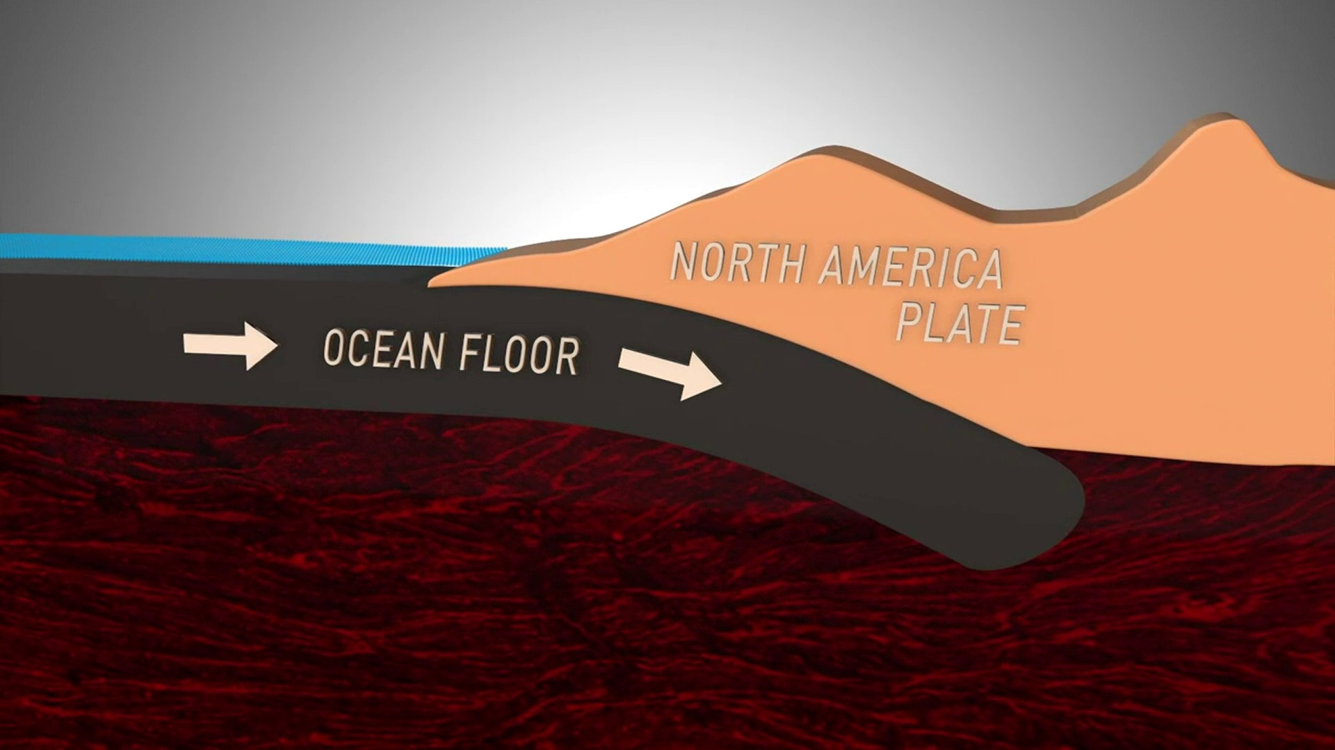
There are a number of tsunami inundation maps for more populated areas along Washington's outer and north coasts. These include Bellingham and other exposed places where a tsunami generated along the Cascadia Subduction Zone near our continental shelf, or other locations around the Pacific Rim, could reach.
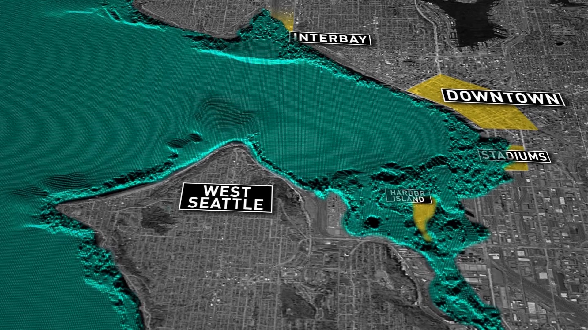
But there's also believed to be a tsunami risk from the Seattle Fault, which could envelop lowlands in Seattle such as Harbor Island and SODO. Everett and other low-lying lands around Puget Sound are also considered vulnerable.
"We need to get full coverage for the entire state," Corina Forson, the state's chief hazard geologist, said.
She says while some areas were mapped with federal money at least a decade ago, those scenarios didn't necessarily incorporate worst-case scenarios. Those scenarios include a very large tsunami every 2,500 years. They also include tsunamis waves -- still 100 feet or so high -- from more typical earthquakes off our coast. Those can happen every 250 to 500 years.
It so happens January 26, 1700, was our last major earthquake and tsunami -- 318 years ago, Friday. Scientists say the next one could come anytime. Nobody can say.
Washington found itself on a tsunami watch on Tuesday after a 7.9 magnitude earthquake in the Gulf of Alaska. Because of the nature of the earthquake on a strike-slip fault, only a tiny tsunami was generated.


