It’s that time of year! The rain has returned and before too long so will conversations about lowland snow. In fact, the earliest recorded snow out of Sea-Tac was October 27, 1971, when 2” of snow fell.
There has been plenty of talk regarding the development of El Niño this upcoming winter. Right now, there is a 70-75 percent chance it develops before December. El Niño winters tend to favor warmer than normal temperatures in western Washington.
But how does that relate to lowland snow? We looked at the numbers.
During the last five strong or very strong El Niño events, Sea-Tac has only measured trace amounts of snowfall during the winter. During the last five moderate El Niño events, for the most part, only light amounts of snow. However, there was one winter between 1968-1969 when Sea-Tac recorded 67.5” of snow; the most ever in a season since records began in the 1940s.

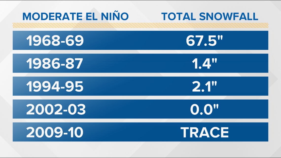

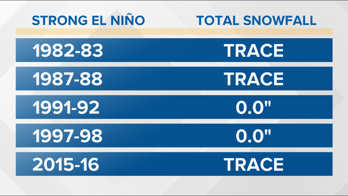
So what does that mean? While not definitive, El Niño winters favor less snowfall in the lowlands. As shown in the 1968-69 season, there are outliers.
WATCH: What is El Niño?
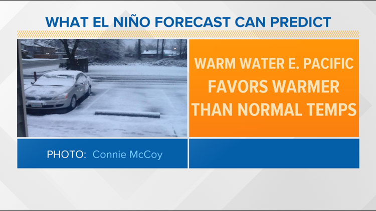
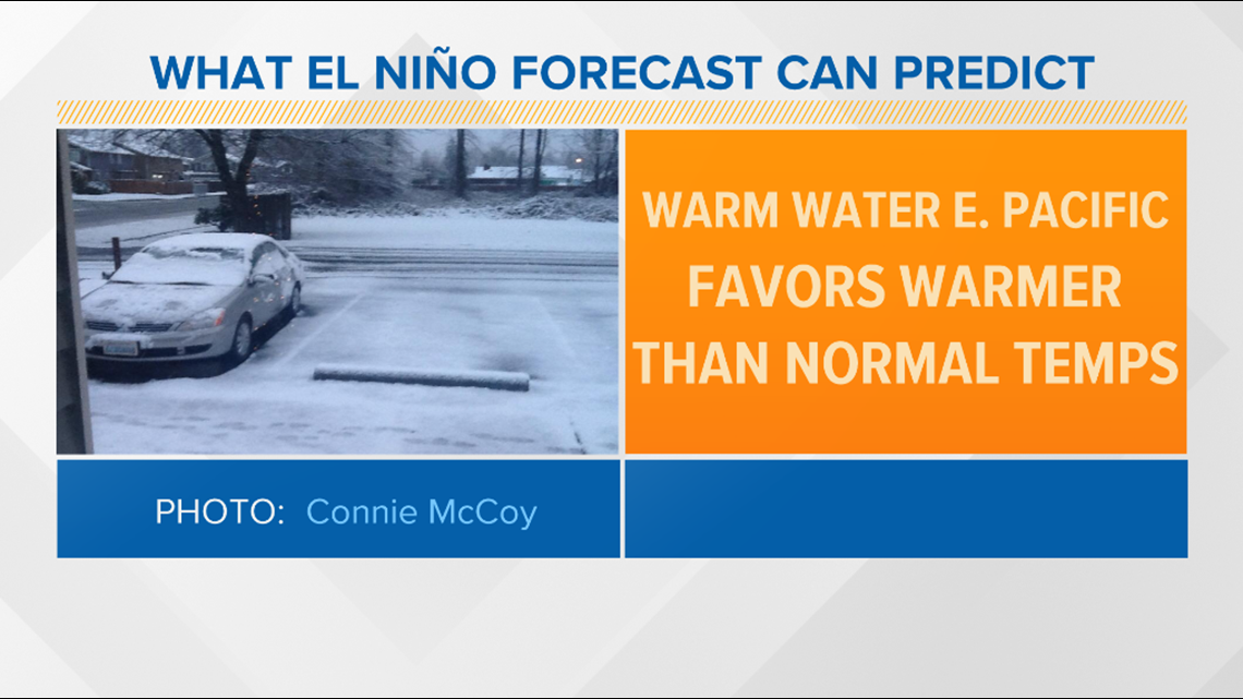
Here’s what the El Niño forecast CAN predict:
- Sea surface temperatures in the east-central Pacific Ocean will be warmer than average
- El Niño winters tend to favor warmer than normal temperatures in the Pacific Northwest

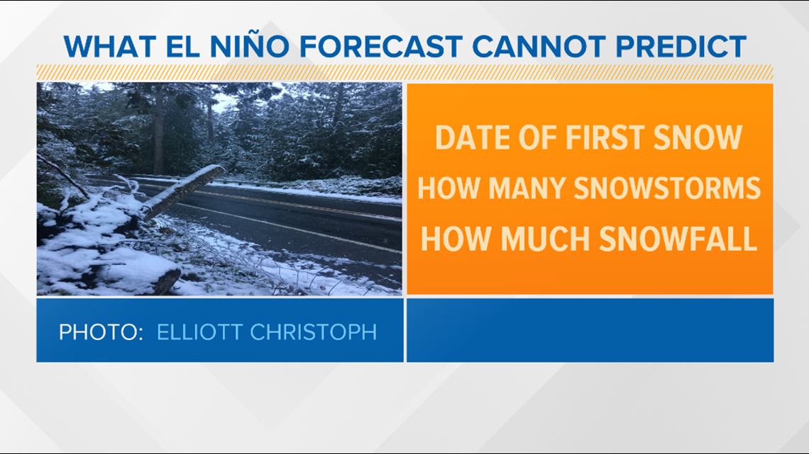
Here’s what the El Niño forecast CANNOT predict:
- The date of the first snowfall
- How many snowstorms we’ll see
- How much total snowfall we can expect this season

