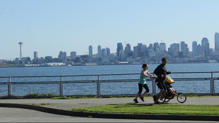
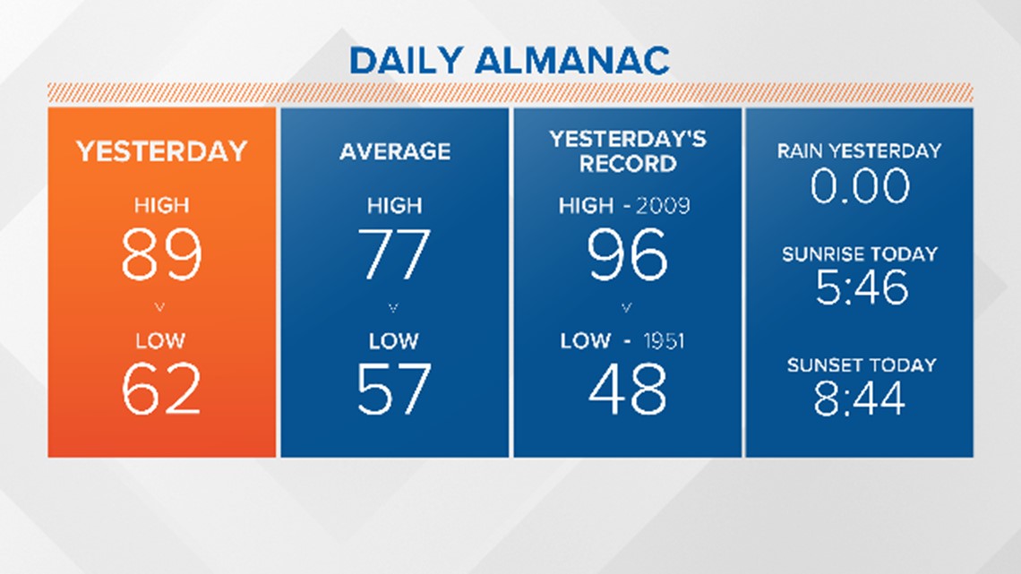
July's heatwave is finally coming to an end. Sunday was the hottest day of the year, reaching 94 degrees. Monday cooled down by 5 degrees, due to wildfire smoke hovering over Western Washington.
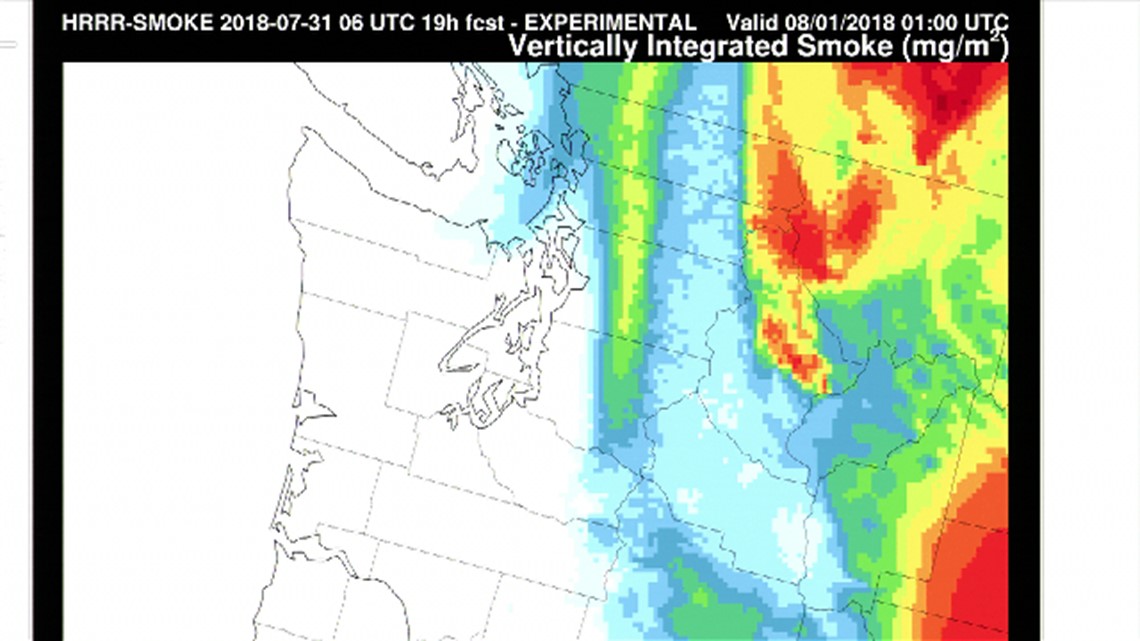
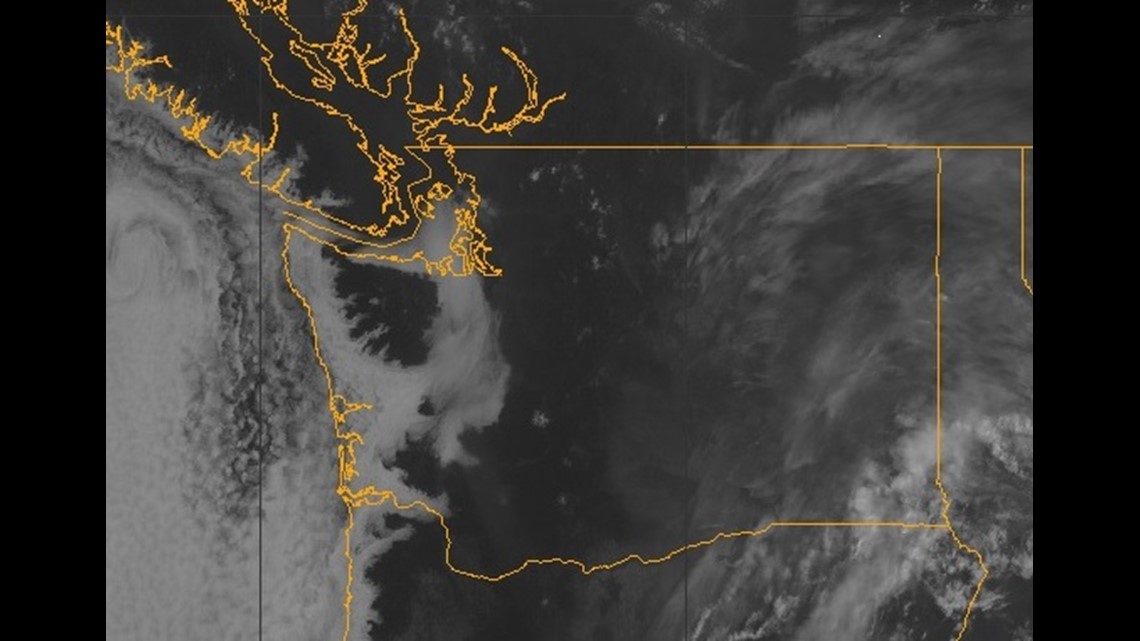
The smoke haze drifted in from fires across Oregon, California, and even Siberia. The haze reflects back some of the sun's radiation to keep us cooler than it would have been.

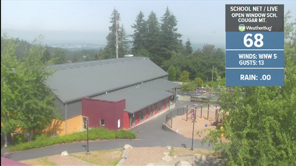

The real cooling begins today with stronger onshore winds covering almost all of Western Washington with marine clouds. The sun returns Tuesday afternoon, but our highs will hover in the upper 70s to mid-80s.

The smoke haze will stick around Tuesday, but it should clear from the west later this afternoon as our upper-level winds turn more southwest.

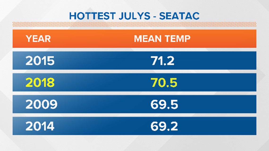
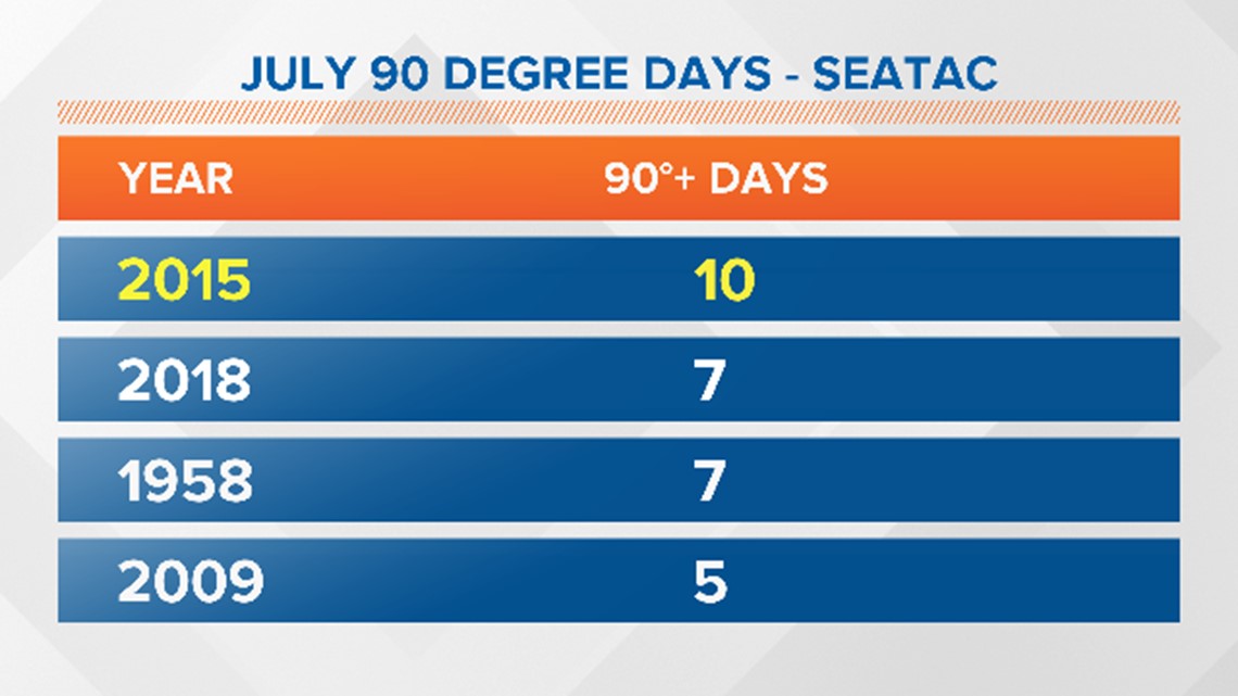
So where do we stand on the records? After Monday, our mean high for July 2018 remains 0.7 degrees away from the record set in 2015 and we won't see much movement in that number today. This makes this the second hottest July on record and the 3rd hottest month ever recorded. August 1967 was warmer. We also remain tied for the 2nd most days at 90 degrees or warmer. Bottomline: it has been an unusually hot month!


The large high-pressure system over the western states has weakened and shifted a little more east, giving us a break from the heat. This will allow a broad area of low pressure to settle in along our coast, maintaining onshore winds into at least the middle of next week.
This Thursday and Friday will see even more persistent low clouds and we might even get some spotty drizzle or a few light showers from passing weather systems, especially Thursday night into Friday morning. High temperatures will cool back to around 70. Not great timing with the start to Seafair weekend:

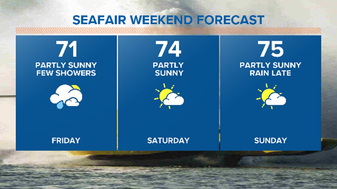
Saturday should be a little better with a mix of clouds and sun and back into the low-to-mid 70s. The Blue Angels should have a shot at doing their high show Saturday. It looks like a weak front is moving in Sunday night. But at this point, the front shouldn't impact Sunday's performance and a high show is still possible. Of course, things could shift before then, but we'll have to keep watch.
The first half of next week looks a lot different than this week. It should be cool and cloudy with showers and only occasional sun breaks. Highs will only be in the mid-60s to near 70. You might have to look for the jacket - at least the rain jacket!
Is summer over? Probably not. Long-range models are showing the western ridge strengthening again around the 10th of August. So we may see more heat, but I like to think just warm!
--KING 5 Meteorologist Rich Marriott


