
SEATTLE — The Puget Sound region got a nice bath in late October with multiple systems dropping buckets of rain over the course of a week, but when it comes to snow in the mountains, much of the Cascades has been relatively parched.
However, this is changing with this weekend’s forecast.
A weather system is expected to bring another round of rain to western Washington, with cooler air dropping snow levels to around 2,500-3,000 feet Saturday and Sunday. Lowland highs will cool to the mid to upper 40s.
Mountain passes, including Snoqualmie and Stevens pass, have already seen some snow Saturday morning.
The National Weather Service issued a Winter Weather Advisory until 6 p.m. Sunday for the Cascades of Pierce and Lewis counties. The weather service said additional snow accumulations of nine to 18 inches are possible for areas above 3,000 feet, with wind gusts as high as 40 mph. The highest snow amounts are expected on Mount Rainier.
The gates to State Route 410 and State Route 123 inside Mount Rainier National Park are closed due to collisions and winter weather, according to the Washington State Department of Transportation (WSDOT). The closures include Chinook and Cayuse passes.
The WSDOT said Chinook Pass is closed between Crystal Mountain Boulevard and Morse Creek. Cayuse Pass is closed within the boundaries of Mount Rainier National Park between Crystal Mountain Boulevard and the park arch at SR 410/123 milepost 2.5 at the southern park boundary.
WSDOT crews plan to reassess highway conditions on Monday.
A Winter Weather Advisory is also in effect for the Cascades of Whatcom and Skagit counties until 10 a.m. Sunday. Snow is expected for areas above 4,000 feet, with accumulations of six to 18 inches possible.
This time of year is about the normal time for the region’s mountains to begin accumulating snow, according to KING 5 Meteorologist Rich Marriott.
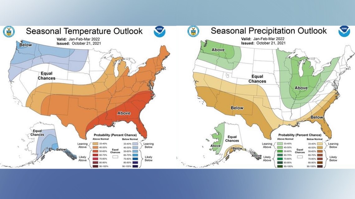
The winter forecast calls for a La Nina, which means there will be cooler than normal surface waters in the central Pacific Ocean. This means that the odds for a lot of snow in the winter go up, though it is no guarantee.
According to the latest forecast for January to the start of Spring, there will be below normal temperatures and above-normal precipitation. This recipe could make for above-normal snowfall throughout the winter.

"It is too early to know how exactly much snow will fall in the mountains this weekend, but our best estimate is up to a foot above 5,000 feet and a few inches as low as 3,000 feet,” said Marriott.
This shouldn't affect travel on the passes significantly on Snoqualmie Pass, but there may be some slushy snow on the roads across the higher passes like Chinook Pass and North Cascades Highway.
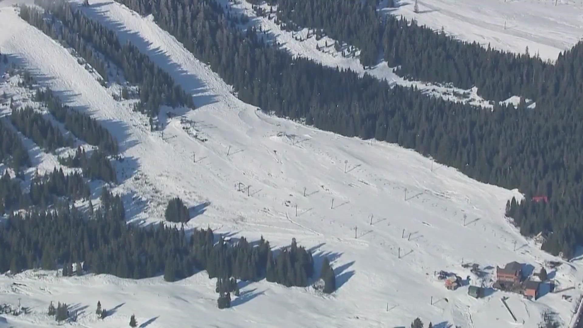
So far, Stevens Pass expects to open its ski area on Dec. 3, Mission Ridge on Nov. 19, Crystal Mountain on Nov. 19, and Whistler Blackcomb in Whistler, B.C. on Nov. 25. Those start dates could change based on weather and snowfall.
Crystal Mountain saw a historic amount of snow in late September in 2013.
Crystal’s Green Valley, which is at about 5,600 feet, saw up to 3 feet of snow, allowing the mountain to open the ski area for one day on Oct. 1 before it all melted away.
So far this year, the peak at Crystal Mountain has seen little more than a dusting.