
SEATTLE — A bill to create a national landslide hazard program has passed the U.S. House of Representatives in Washington, D.C. Called the National Landslide Preparedness Act, H.R. 1261, the bill passed by a voice vote in the House and would have the U.S. Geological Survey map much of the country where landslides are a risk.
The bill is sponsored by Washington Democrat Suzan DelBene, who represents the first congressional district which includes the town of Oso, the site of the deadliest landslide in U.S history. A companion bill sponsored by Washington Democratic Senator Maria Cantwell is also on the move.
"What best practices can be put in place for safety?" Rep. DeBene asking during an interview with KING 5 about her bill which, "...gives us a national resource that all states and local communities can use to prepare for landslides."
DelBene cited safety programs for earthquakes and volcanoes, but said landslides have not received the attention they need.
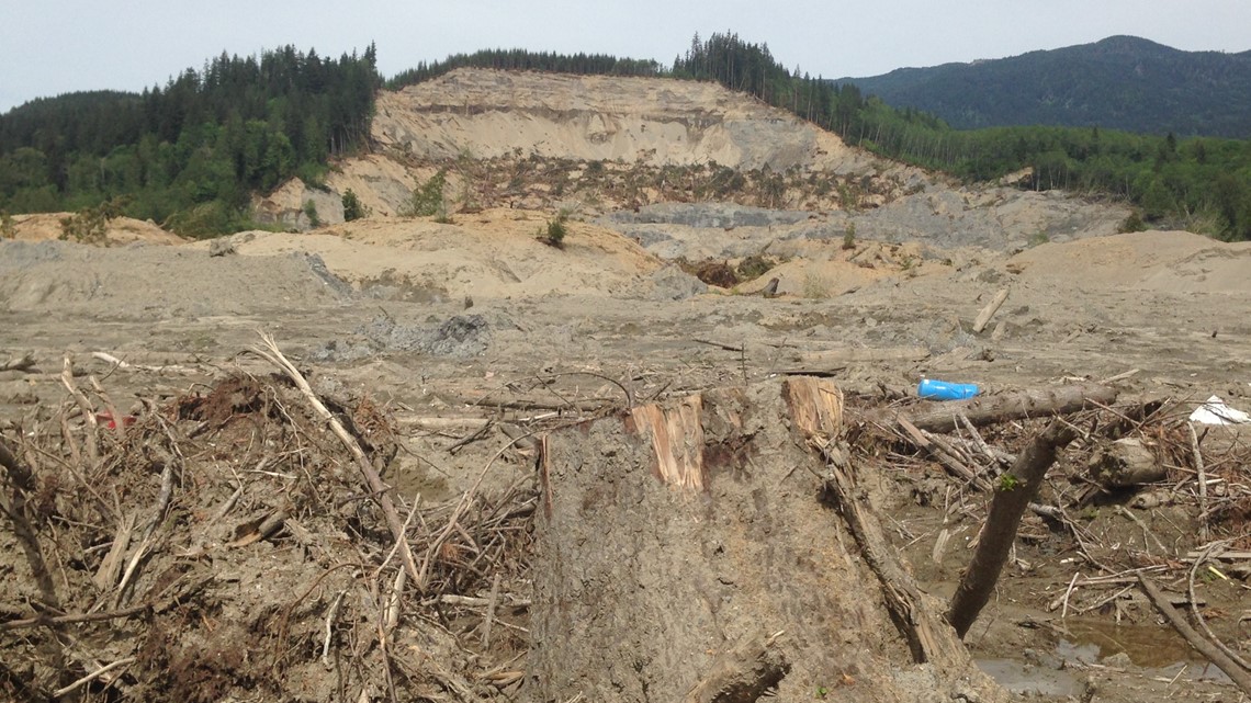
The Steelhead Haven neighborhood was wiped out on March 22, 2014, by a landslide consisting mostly of mud. It crossed the valley at speeds between 60 and 70 miles per hour after weeks of heavy rains. In the landslide, 43 people were killed, and Highway 530 was buried. Utilities and other infrastructure was cut.

Almost two months later to the day, the Grand Mesa Landslide struck an area bout 30 miles from Grand Junction, Colorado, and buried three people. While the death toll was far lower, the actual amount of rock and mud released was much larger than Oso and remains the largest landslide in Colorado history.
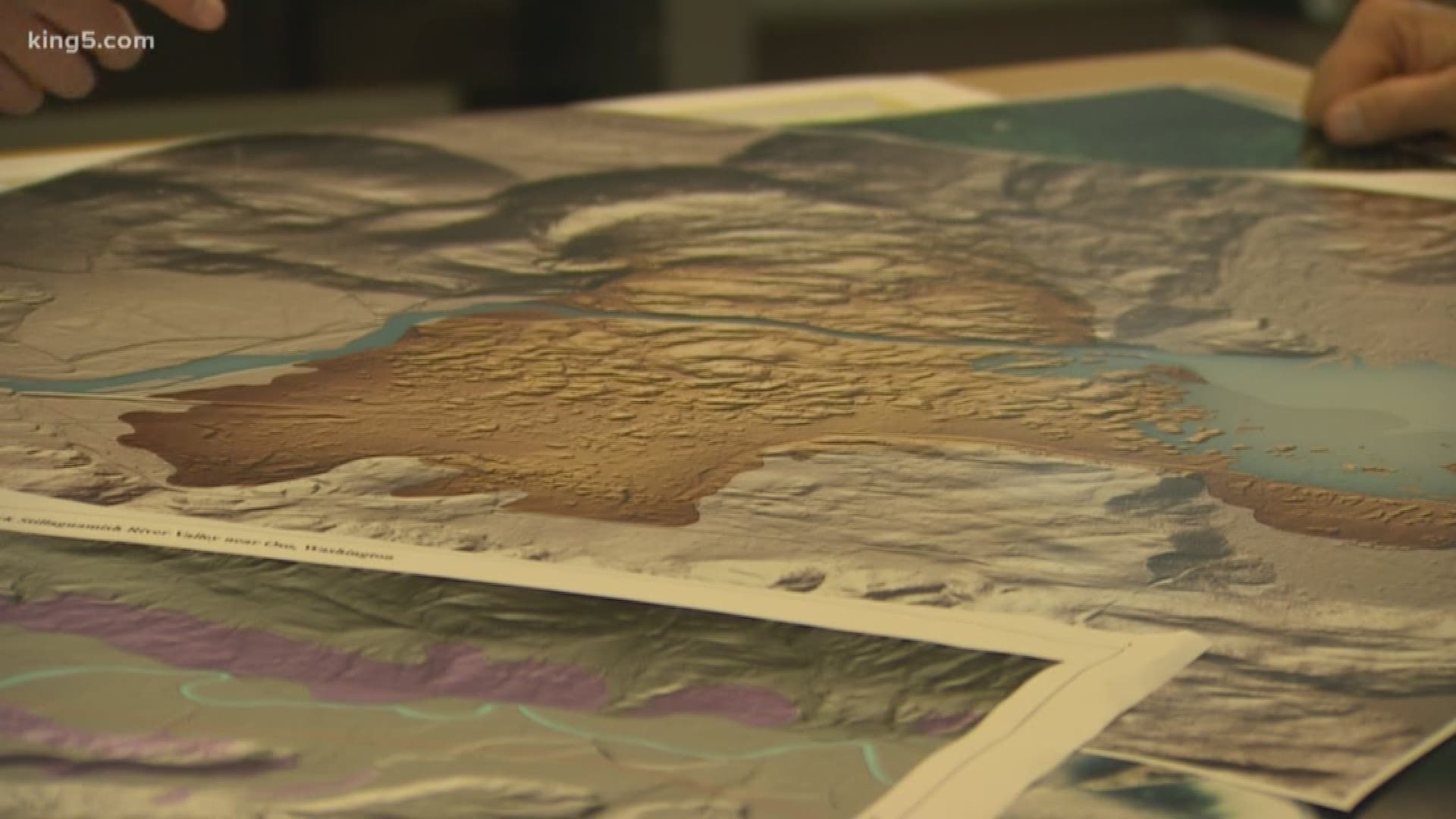
The cost to start the program is estimated at $77 million, said DelBene, which would include the use of lidar imaging, mapping created by flying laser equipped aircraft over areas where landslide potential exists, what she calls 3D elevation mapping. This type of imaging is known as lidar.