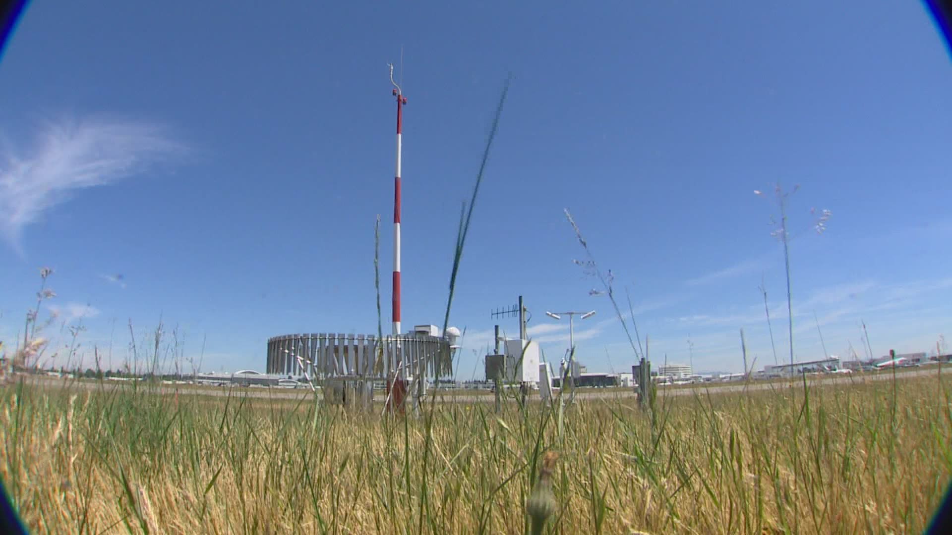
SEATAC, Wash. — Whether or not western Washington breaks a heat record this weekend depends on the conditions at a weather station in the middle of the airfield at the Seattle-Tacoma International Airport (Sea-Tac).
"To be sure, everybody's going to be hot," said Washington State Climatologist and University of Washington professor Nick Bond. "This is going to be an historic heat wave. I wouldn't be surprised if we didn't get over to over 100 at Sea-Tac."
However, people might notice it feels warmer or cooler where they live, regardless of Sea-Tac's reading. Bond admitted the National Weather Service station can be off by a few degrees.
"When the wind direction is coming from the north, it tends to be especially hot at Sea-Tac," Bond said.
The taxiways and runways at the airport, which are giant slabs of concrete several feet thick, can also mess with temperatures. Even in the winter, Bond said Sea-Tac can be warmer than other parts of western Washington.
“It turns out that Sea-Tac is definitely a warm spot during the winter, the cold air kind of drains off the plateau there, and we find there are plenty of spots around the Sound that are a lot colder than Sea-Tac,” he said.
Many spots in western Washington are also impacted by hills, valleys, mountains and water which can all cause the temperature to be warmer or cooler than other places in the Puget Sound.
Bond said it's unlikely that Sea-Tac runways will be the warmest spot in the region this weekend.
“There are plenty of other hot spots around. And it turns out that the lower elevations of the Kent Valley, Auburn area and so forth, it tends to be even hotter.”
Although Sea-Tac may not reflect the exact temperature of every spot in the Puget Sound, consistency is important to determine long-term trends. Sea-Tac has been the official weather recording station for nearly 75 years. Before that, weather records were kept at the old Federal Building in downtown Seattle.

