FLORIDA, USA — New technology developed at the University of Washington and on the water in Florida, may provide valuable insights into how hurricanes form and where they may be heading next.
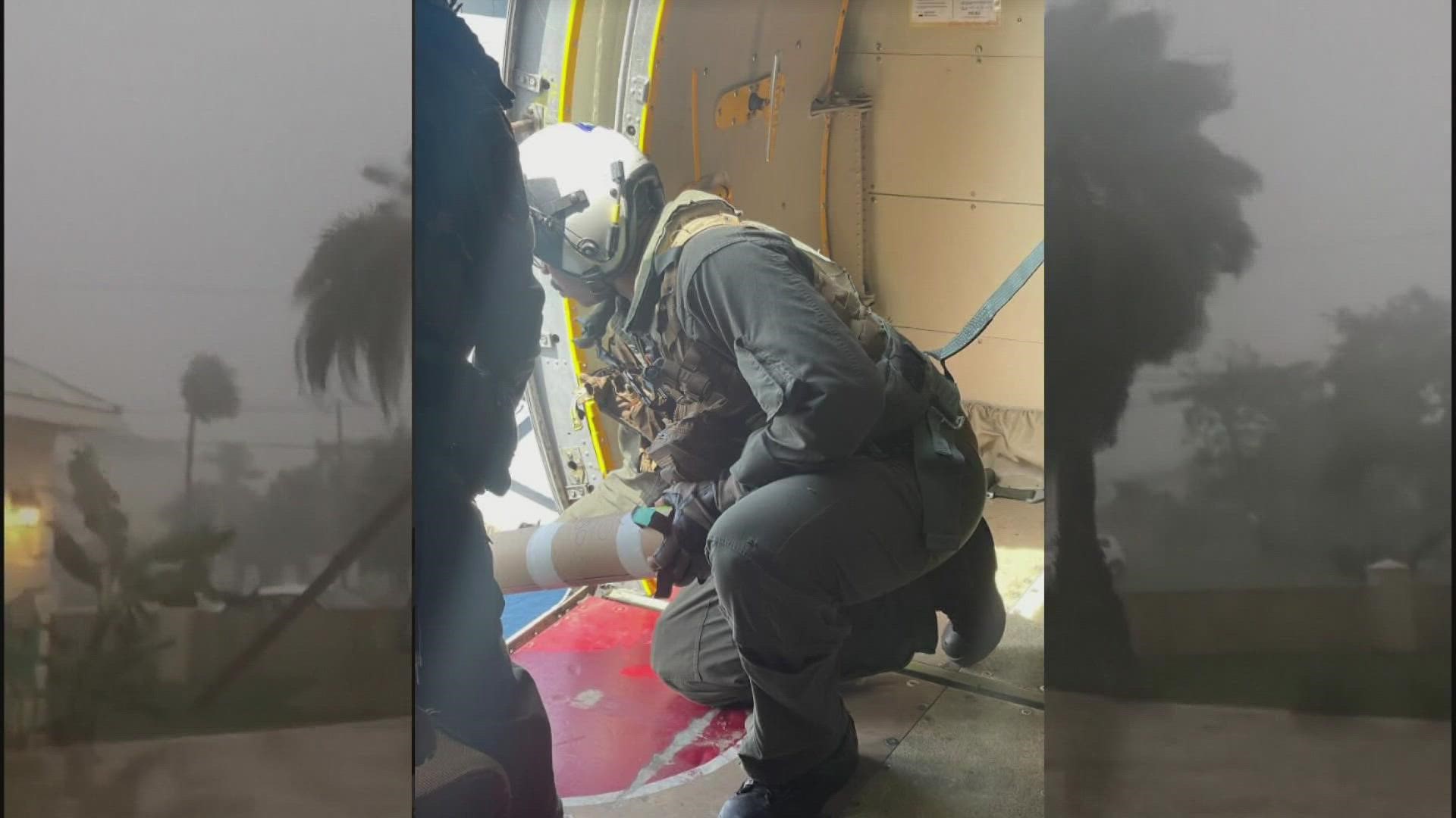
With a quick toss and a smile, UW Doctoral Student Jacob Davis chucks new technology he hopes could one day improve hurricane forecasting.
“As a part of this project we aim to sample about three to four hurricanes per year,” Davis said.
Monday Davis boarded a US Navy Aircraft that flew over the coast of Florida tracking what was then Hurricane Ian – a storm that has since caused catastrophic damage to the region. The research project is a partnership between the University of Washington and the US Navy’s Scientific Development Squadron.
This week, for the first time, UW-built sensors were dropped directly into the hurricane's path. The sensors are known as “Surface Wave Instrument Float with Tracking” or SWIFTS.
“We are trying to understand the waves of the ocean’s surface beneath the hurricanes,” Davis said. It's information they hope will one day improve storm forecasting. “We are developing these instruments that are really focused on being these small kind of expendable buoys that we can deploy in huge arrays,” he added.
Once they’re dropped, the buoys immediately send back real-time data. Researchers hope the information will provide insight into how hurricanes generate waves – something they say is not well documented by current forecasting models.
“Best case just knowing, to the best that we can, as soon as we can where the hurricane is going to be and what the impacts are going to be,” Davis said.
These SWIFTS have been deployed off the coast of south Florida and are also collecting data from other parts of the world including the Iberian Peninsula and the Arctic Ocean.
Researchers are seeking a new understanding of dangerous and powerful storms they hope could one day save lives.

