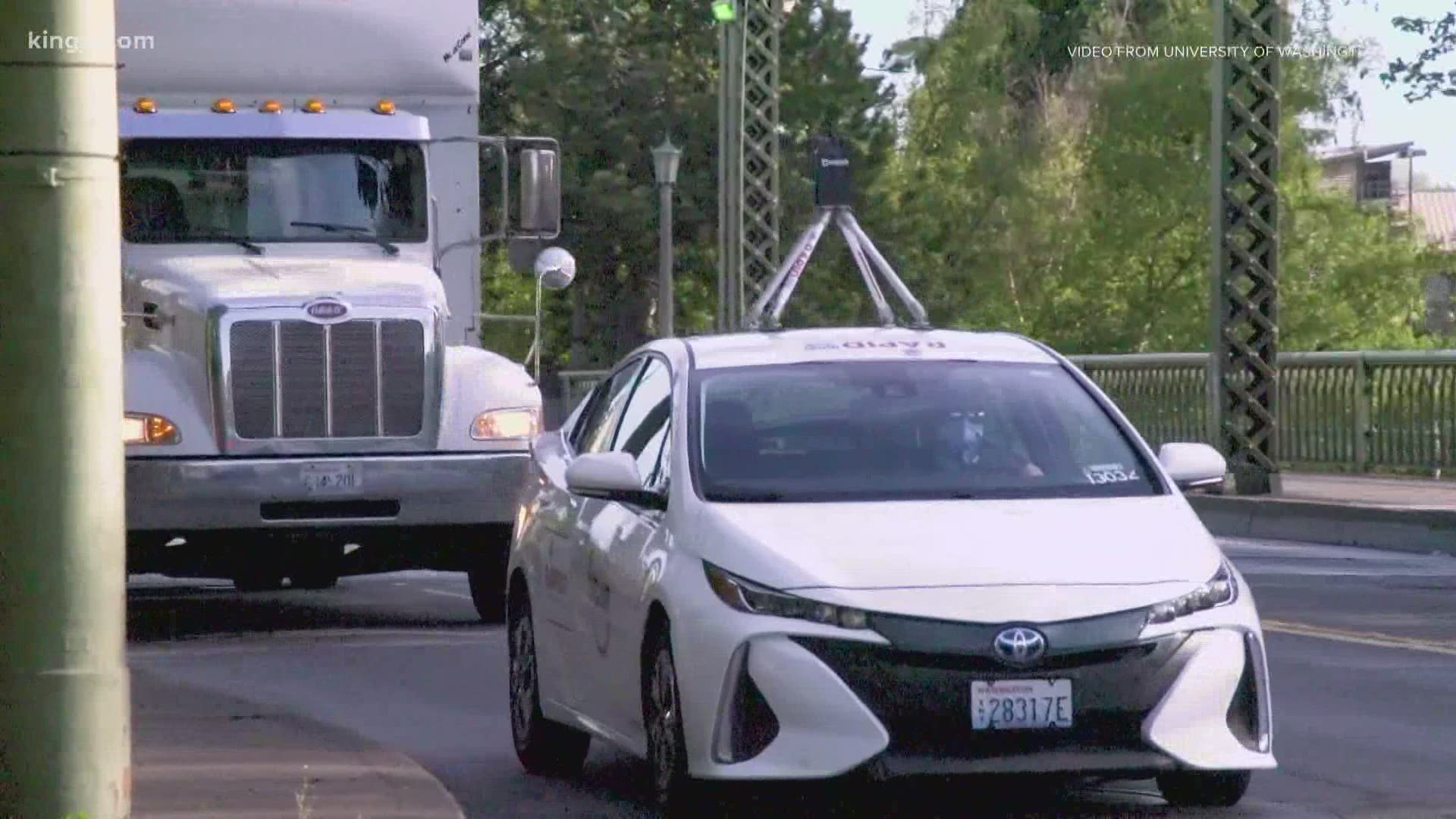
SEATTLE — So much has changed since the start of the pandemic, and University of Washington researchers are hoping to keep track of all of those changes by driving around and capturing snapshots of Seattle.
"It's a really unique dataset that doesn't exist anywhere else in the world," said Joe Wartman, co-researcher and UW professor of civil engineering.
Video provided by UW shows how the data is being collected: every few weeks, researchers drive around in a car with a street view camera snapping images of what's changed month-to-month.
"A lot of metrics that pertain to street life, number of cars in the road, number of buses on the road, number of pedestrians, number of bicyclists on the road and the number of people who are using parks," said Wartman.
Wartman said researchers are looking at changes in the region across the year and a half study period, hoping to understand what is the nature and quality of the recovery as the area slowly emerges from the pandemic.
Wartman said some of the most noticeable changes so far are near hospitals.
The team captured a series of photos from outside Harborview Medical Center. In June, you see very few people in the area. In July, photos show people waiting at the bus stop and in August, more people at the bus stop and the surrounding areas.
"We see kind of a slow adoption of some of the policies that have been enacted, but it's really quite visible and in fact, if you go out and you walk on the street, you're going to have noticed that some pretty major changes in your neighborhood," said Wartman.
Wartman said this data will be helpful for future generations.
"We want to learn from this event, and we want to learn from this event in a way that can minimize the effects that should something like this occur again," said Wartman.
The project will continue through next year.
The data will be accessible to anyone who wants to see in pictures how the city and more specifically, their neighborhood, has changed.

