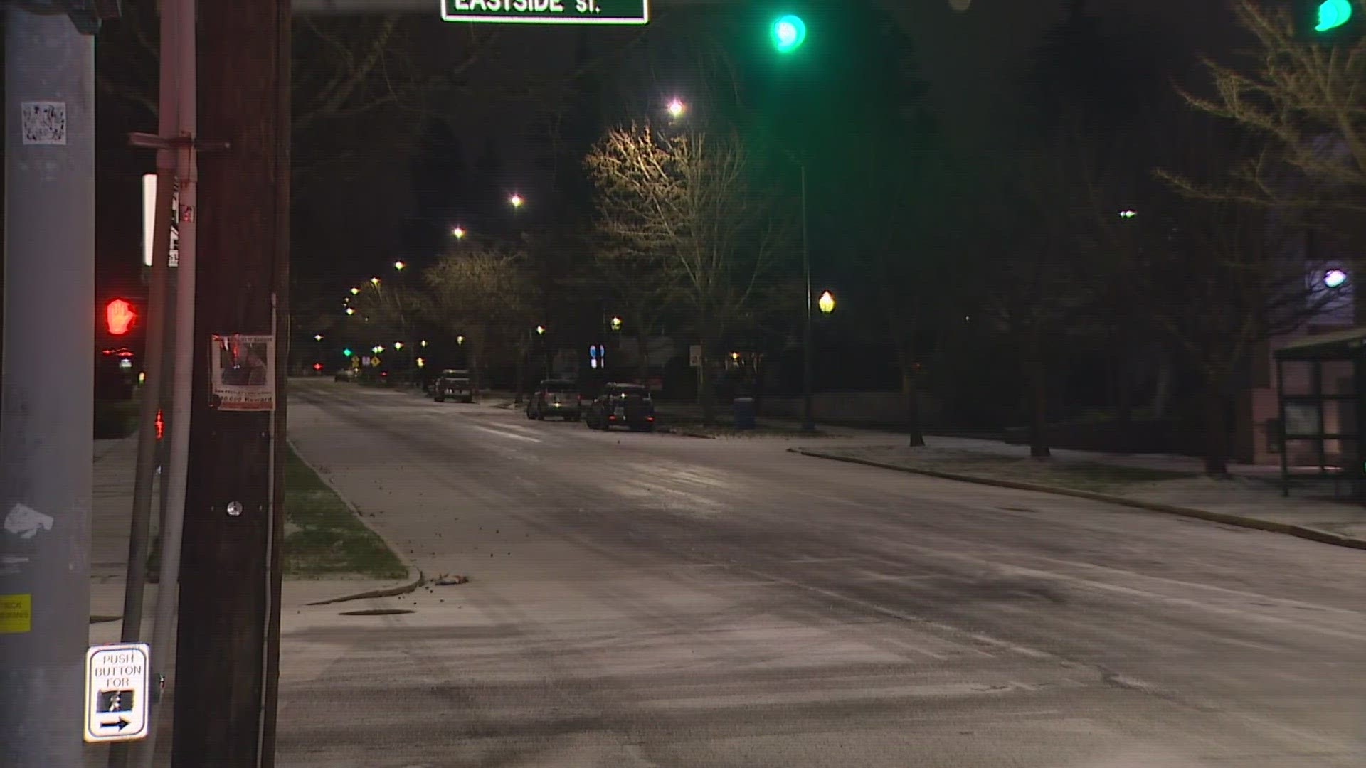
SEATTLE — Snow has been piling up in the Cascade Mountains this week following blizzard conditions and some lowland areas saw snow on Thursday into Friday morning.
The lowlands saw trace amounts to a little less than one inch of snow, with areas farther south and east more likely to see snowfall.
So far, viewers in Snohomish County, Gold Bar, Monroe, and Seattle's Belltown neighborhood have captured some of the snowfall on Thursday.

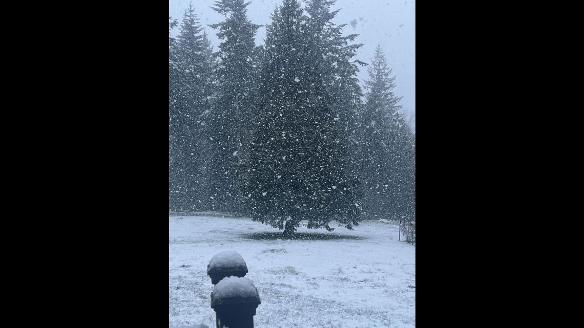
A modified arctic front has dropped southward from British Columbia as cold air flows out of the province. The "modified" arctic front is expected to lift and push the relatively warmer air over western Washington, bringing snow showers and a cold temperature snap.

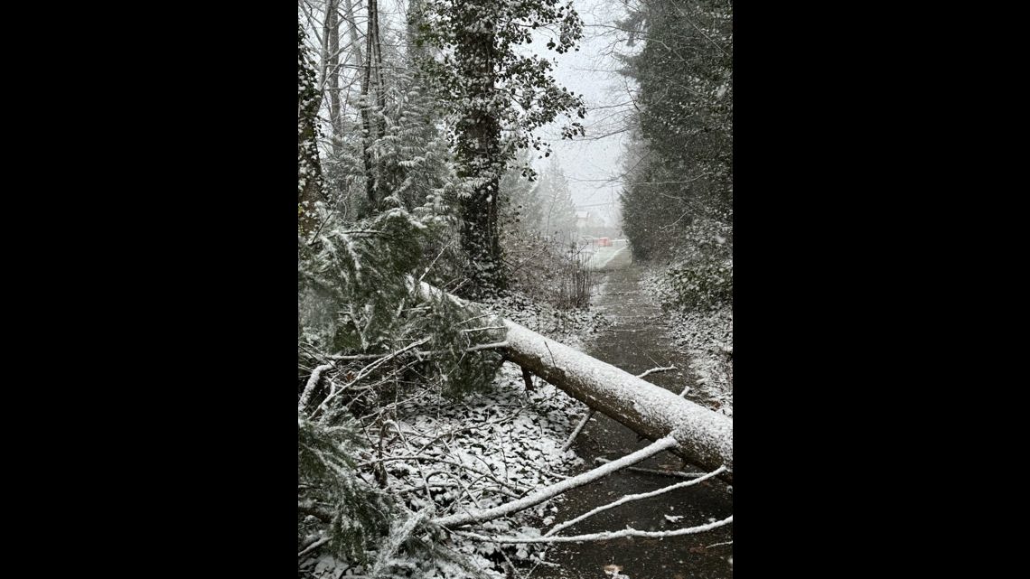
Snow accumulations are expected to be spotty and less than an inch.


On Friday morning, areas in the south Sound reported overnight snowfall with accumulations in Olympia, Yelm and Tumwater.
One viewer in Tumwater reported 3 inches of snow.

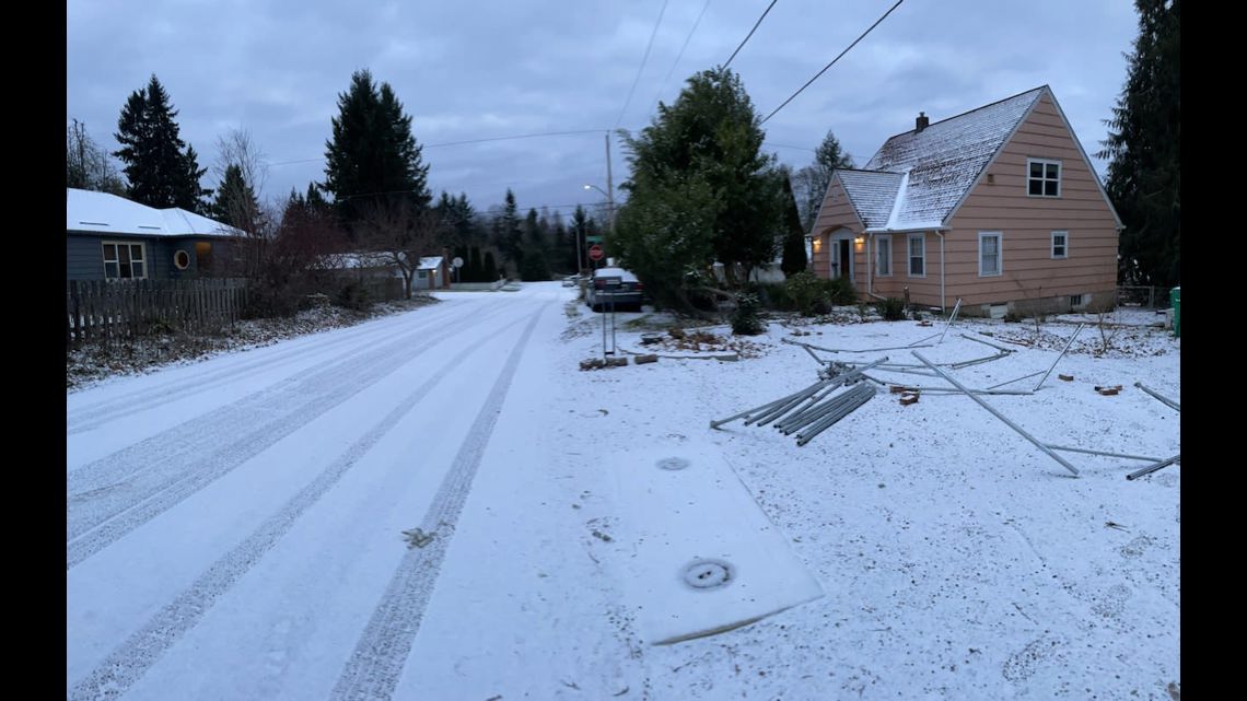
The best chances of accumulating snowfall were under a developing convergence zone band across northern King and southern Snohomish counties. Areas along the northern Olympic Peninsula were expected to see accumulations of 1 to 3 inches.
Bands of snow showers over the Southwest Interior will dissipate Friday.

