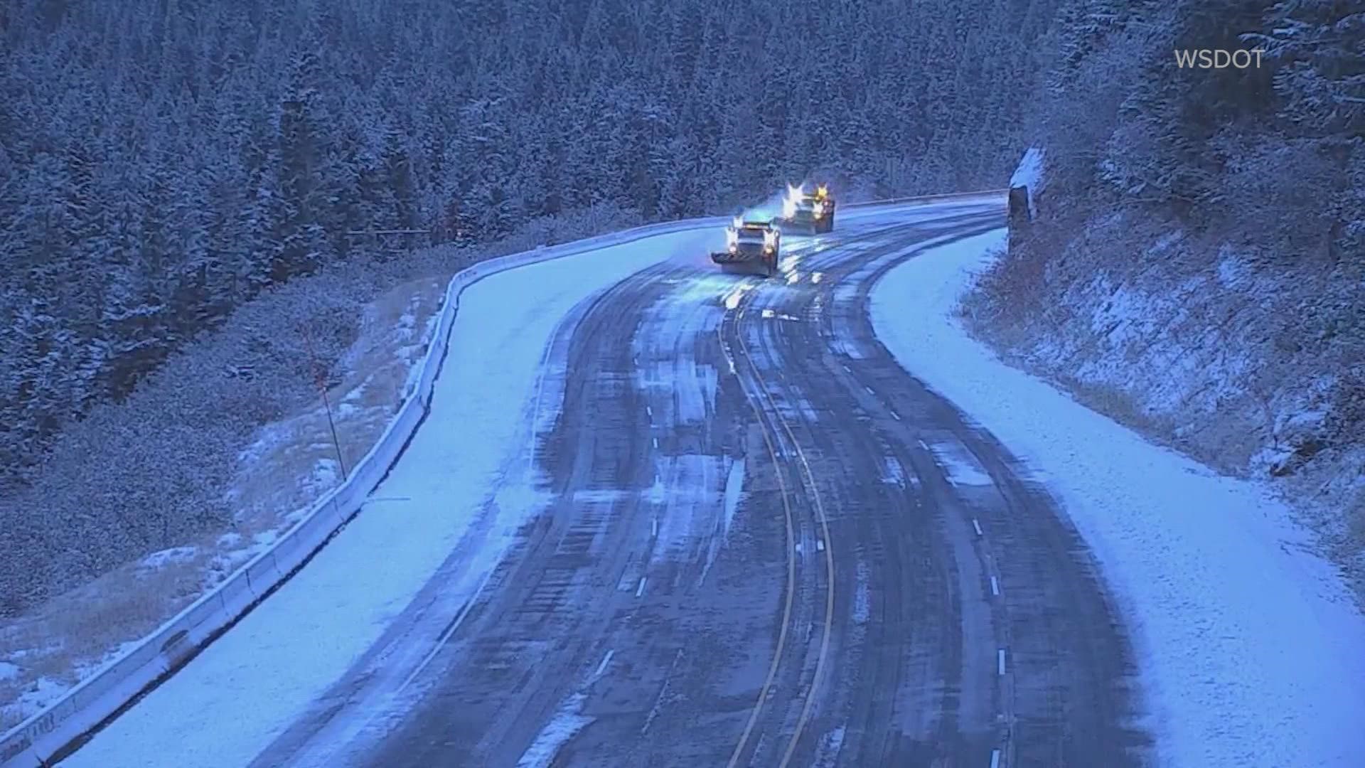
SEATTLE — Winter arrived a little early for parts of the Olympic Peninsula as snow began to fall early Wednesday morning.
The Washington State Department of Transportation tweeted a photo of a snowplow clearing US 101 along Lake Crescent just before 6:30 a.m.
The National Weather Service (NWS) said heavier precipitation dragged snow levels down, which caused some snow accumulation along roadways.
While the snowy conditions were expected to improve by mid-morning, the NWS issued a “brief” Winter Weather Advisory for the western Strait of Juan de Fuca lowlands along the northern Olympic Peninsula until 2 p.m. Wednesday. The advisory included the area from around Lake Crescent to Clallam Bay and along US 101.
The weather service said areas of “light to moderate” snowfall was expected, which would lead to snow-covered roadways on main and back roads.
Snow was also reported near Sequim early Wednesday morning. A KING 5 viewer shared a photo showing snow actively falling with a layer of snow covering the back deck of her home. The viewer said their home is around 1,100 feet in elevation.
The NWS urged drivers to slow down and use caution on the roads Wednesday morning.
Partly cloudy to clear skies Wednesday night combined with the cool air mass will allow temperatures to drop into the 30s in most places Thursday morning with temperatures in the upper 20s in a few cooler spots, according to KING 5 Meteorologist Rich Marriott.
More snow is expected in the mountains this weekend. Between 4-8 inches of snow could fall in the mountains on Saturday. Snow levels are expected to drop to around 1,500-2,000 feet later on Sunday, bringing a possible 6-10 inches of snow to all of the mountain highway passes.
RELATED: Western Washington Forecast
Cooler air will move over the state next week, which could drop snow levels to 1,000 feet on Monday and between 500-1,000 feet on Tuesday, according to Marriott. While the snow levels will drop, the air mass will be drying, so Marriott said no significant lowland accumulations are expected either day.
Temperatures are expected to remain well below normal for early November next week.
The earliest recorded snowfall at Sea-Tac Airport was on Oct. 27, 1971, when 2 inches fell, according to the NOAA Regional Climate Centers.

