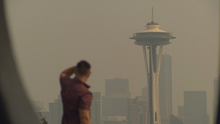
If you’ve had it with the smoke hanging in Western Washington you could blame it on Canada, and you would be mostly right. At least for this round.
“It is with regret that we had to call a second state of emergency in twelve months,” British Columbia Premier John Horgan said after touring part of the province by air.
Canadian smoke drifted into Western Washington last year too. Much of British Columbia (B.C.) is home to major wildfires that are so smoky some Canadian towns are experiencing midnight conditions during the mid-morning, trigging street lights to turn on.
Much of that Canadian smoke is being blown to the east in West Central B.C., then turning and heading southwest collecting east of the mountains and blowing down the Fraser River valley into Western Washington.
But it’s not just the fires burning in B.C. Two new significant fires in Washington are also producing major smoke plumes.
The Cougar Creek fire near Entiat is at 38,000 acres, and the Crescent Complex west of Twisp is at 26,000 acres. Smoke from those fires is being tracked by the new generation of GOES weather satellites.
“We’ve had two really bad summers in a row,” said Erik Saganic, an air pollution scientist for the Puget Sound Clean Air Agency. “We had two really bad days in 2015, and before that very few and far between where we saw really big impacts from wildfire smoke.”
While 2017 and 2018 are anomalies, smoky conditions may become a new normal.
“We do know long-term models of the climate that we can expect more wildfire smoke in the future,” said Saganic. “And this is a sneak preview of some of the days decades from now as to what that looks like.”


