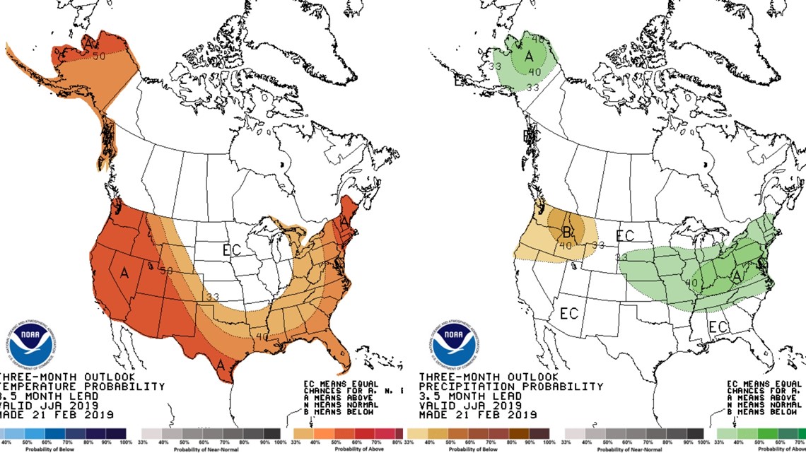
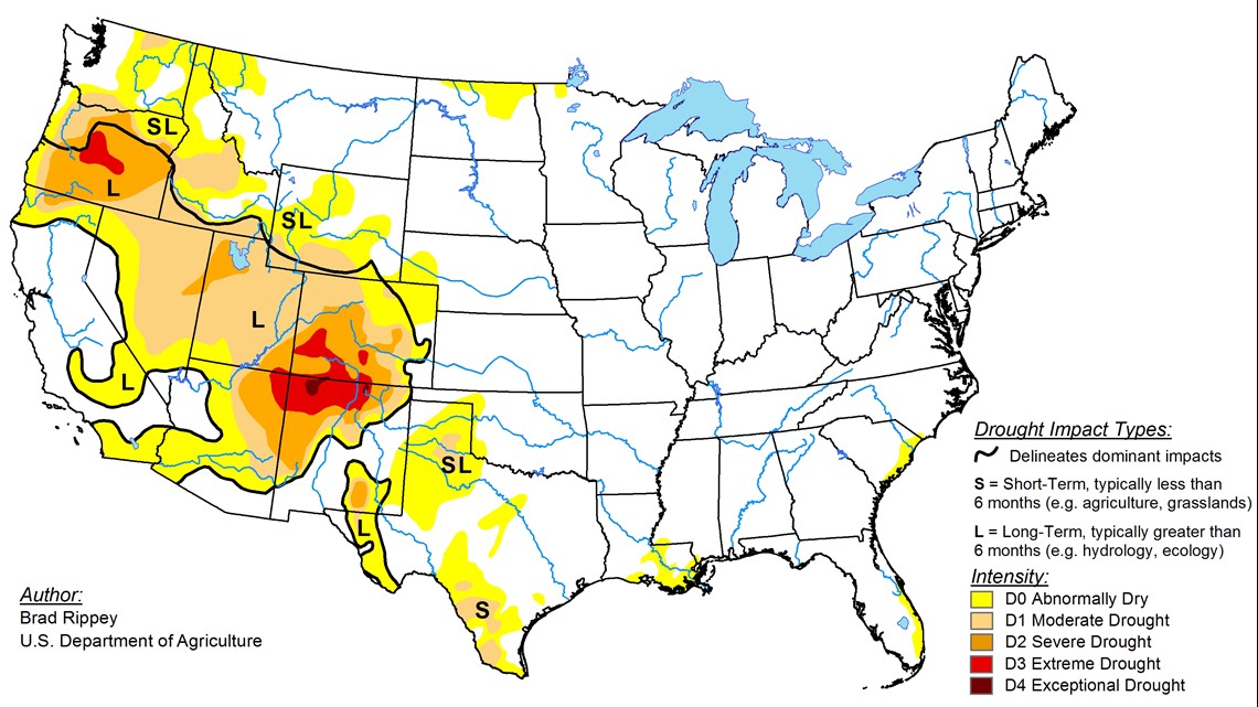
As western Washington prepares to leave one of the coldest, snowiest Februaries on record, new maps released Thursday by the National Climate Prediction Center show Washington will likely experience a warmer, drier spring and summer with drought persisting on the wildfire-prone eastern slope of the Cascade mountains.
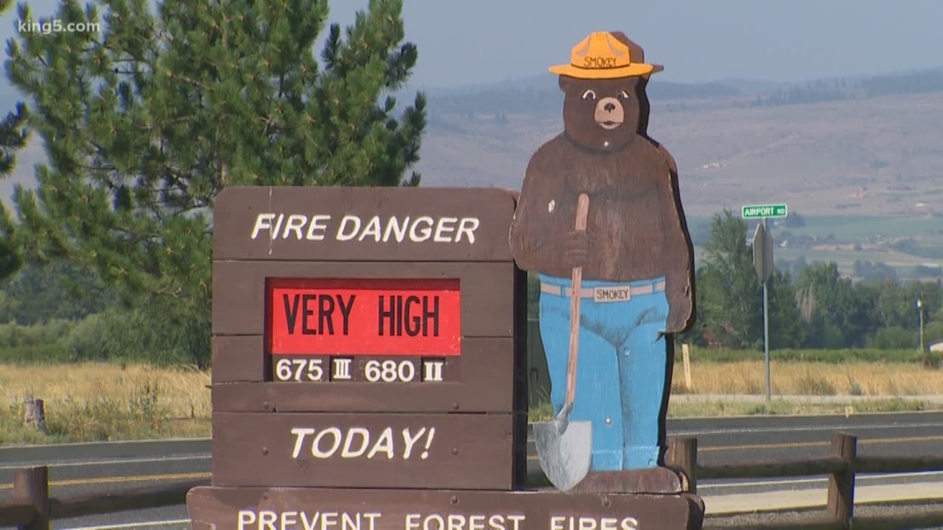
“We’re thinking right now it’s going to be a very significant fire season,” Washington State Lands Commissioner Hilary Franz said.
As lands commissioner, Franz is head of the Department of Natural Resources, the largest firefighting agency in the state that’s responsible for fighting fires on more than 13 million acres of state and private forest lands.


The maps aren’t weather forecasts but climate forecasts that look out months, typically in 90-day increments.
“We follow them very closely. We also have meteorologists on our team who create very up-to-date weather reports that go out early this year,” she said.
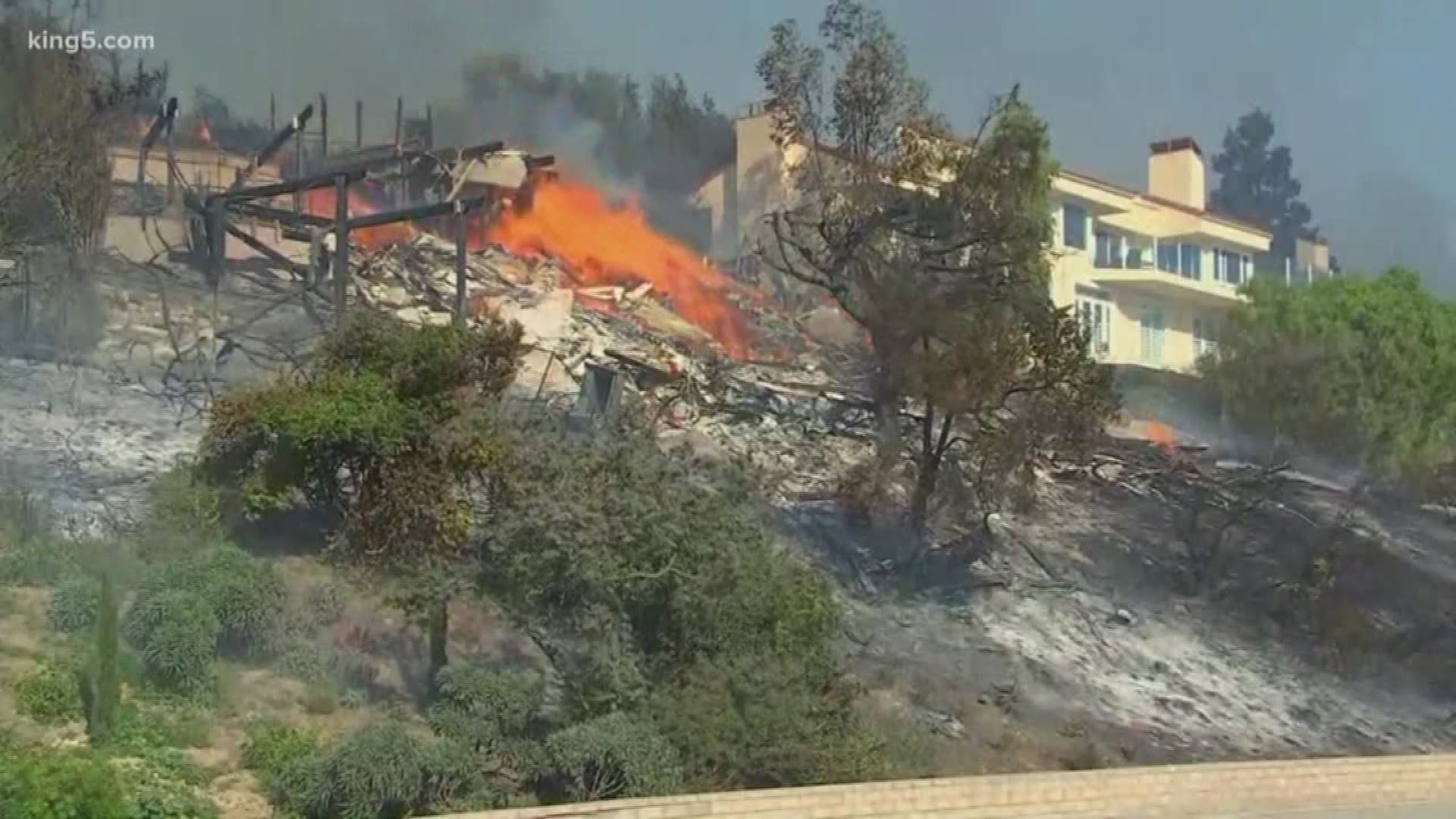
What worries Franz is that this season could be a repeat of last year, where despite a good snowpack April warmed up quickly. She says Washington saw a record number of fire starts – more than 1,850 – and 40 percent of those were on what has been the less fire-prone west side of the state.


Ninety-six percent of those fires were kept below 10 acres in part because of the pre-positioning of equipment, such as small rapid response firefighting aircraft.
“We use it for pre-positioning our equipment in those areas…where we’re more likely to see more significant fires,” said Franz.


