SEATTLE — Ocean surface temperatures in the Pacific are pointing to back-to-back La Niña winters.
For the Pacific Northwest, that’s already changing the weather as another La Niña prepares to kick in, according to state climatologist Nick Bond.
“In these back-to-back La Niña years, the fall tends to be relatively wet and cool, compared to La Niñas in general," explained Bond.
Despite this odd twist in the fall, La Niñas don’t really seriously affect winter until early January, Bond said.
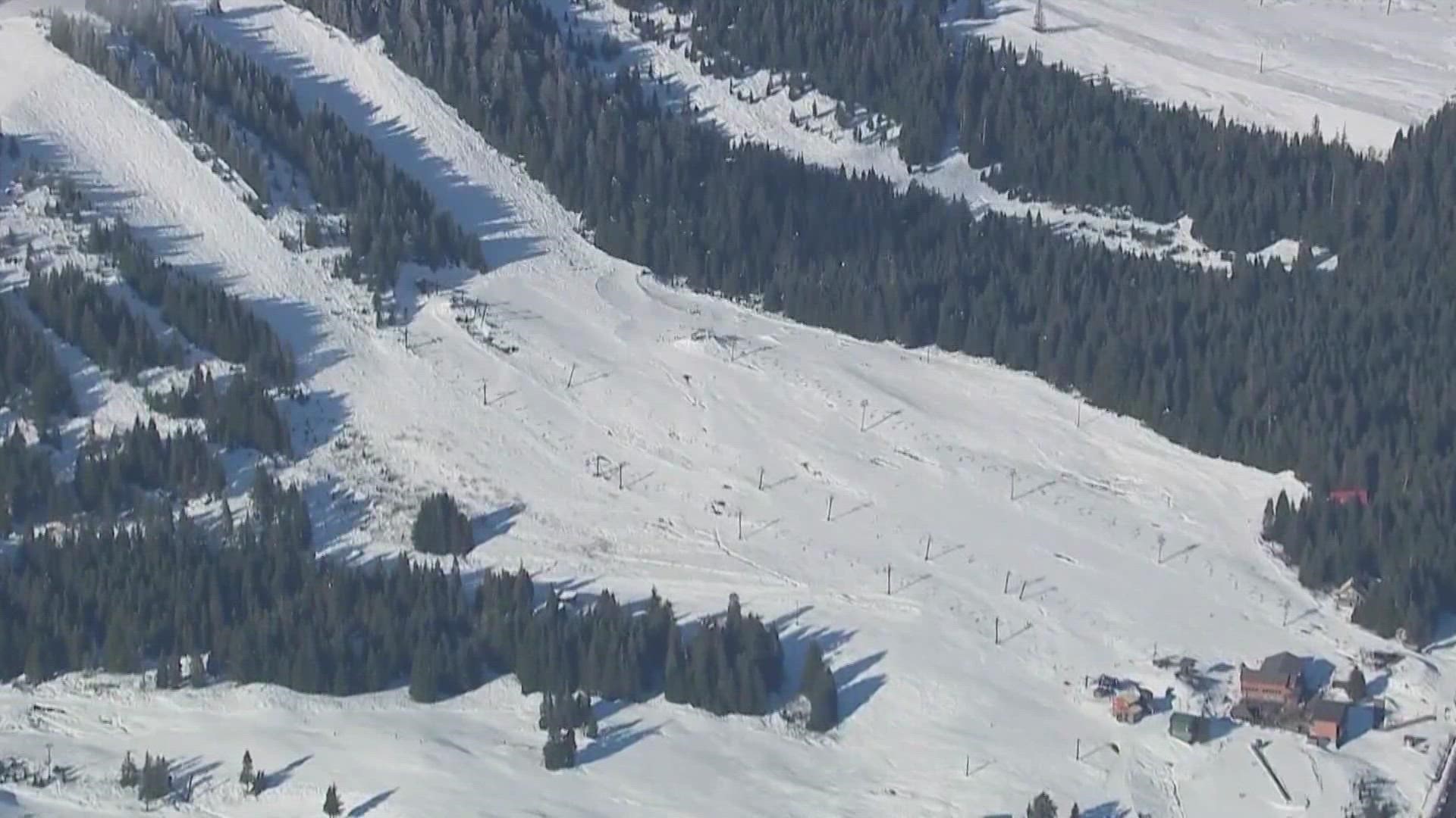
Last winter’s La Niña resulted in a strong, near-record snowpack for much of the state. Deep snow is good for skiers in the winter, and for everyone from gardeners in western Washington to farmers needing to irrigate on the east side of the Cascades in the dry months of summer.
It’s this combination of wetter and colder conditions that also increases the odds of lowland snow, as it was on the weekend of February 13.
“It does increase the odds, especially in that kind of weather event - absolutely no guarantees at all," said Bond. "But I guess, right now, for the sake of argument, I’ll be surprised if we don’t see snow at some point this winter in the Puget Sound lowlands."
La Niña's occur as relatively cool equatorial water dominates the eastern Pacific Ocean. It’s the opposite of an El Nino, where the tables are switched and warmer-than-normal water presses up against Central and South America.
El Nino’s effects on our weather are also opposite. For the Pacific Northwest, the trend over the winter is warmer and drier. A 70-degree day is no surprise, even in February.

