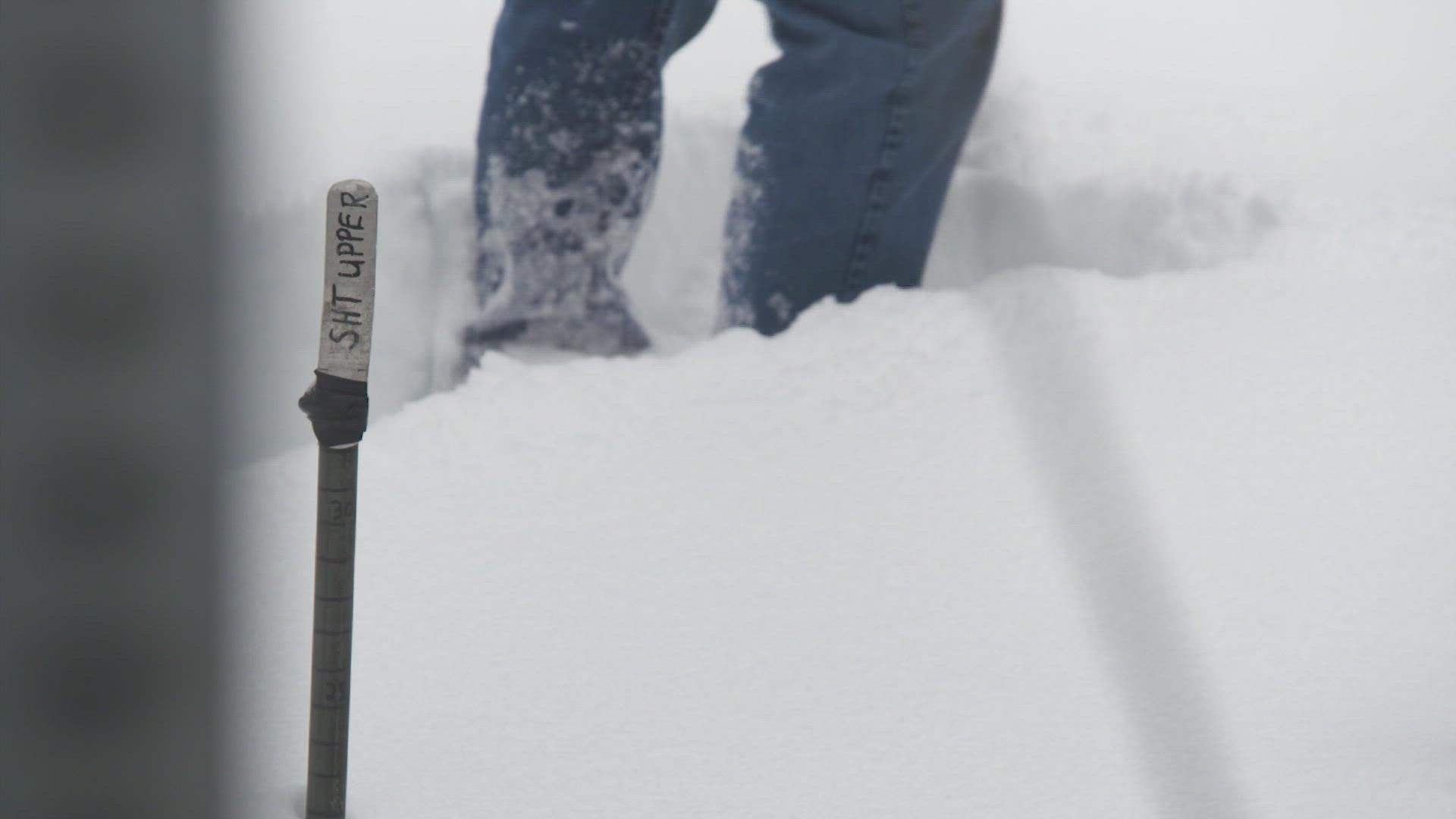
SEATTLE — Washington state's snowpack is shrinking. The snow-free trees that can be found are a testament to the relatively dry conditions this winter.
The snowpack could use a boost.
"It's going to take some real moisture, I feel, to bring us back up to par, and finish off this season where we should be," said Scott Pattee, a specialist with the National Resources Conservation Service of the United States Department of Agriculture.
Snowpack is essentially water stored for later. The more snowpack we have in the winter the more water that will be available heading into the summer.
Snowpack for much of the western Cascades declined by about 10% in two weeks, from about 90% of average snowpack in the area, according to the latest data. The snowpack near the Canadian border is near normal. In the lower Yakima basin, it's about 67% of the average snowpack.
Over in the Olympics, the snowpack is 85% of the average.
"I've said this before, but at this time of year, every day that we do or do not receive moisture in the mountains in the form of snow, we're falling behind," Pattee said.
The hope is that the atmospheric river over the next few days will get things closer to normal by April 1, a benchmark date for when our snowpack typically will stop building.
Pattee's other concern is if that precipitation comes down as rain in the mountains, it really doesn't help, it just runs off.
"The sites which really count, which is all the mid-elevation stuff, that really provides the water supply for us, whether it be irrigation on the east side or municipal water over here on the west side," Pattee said.
A year ago, snowpack was abundant, running as high as 157% above normal at the end of March 2021. But by the end of June, much of that snowpack was flushed down river by temperatures well over 100 degrees. A freak occurrence nobody wants to see happen again.

