SNOHOMISH COUNTY, Wash. — The May 18, 1980 eruption of Mount St. Helens was a massive explosion that took off the top 1,300 feet of the mountain and sent ash 80,000 feet into the air.
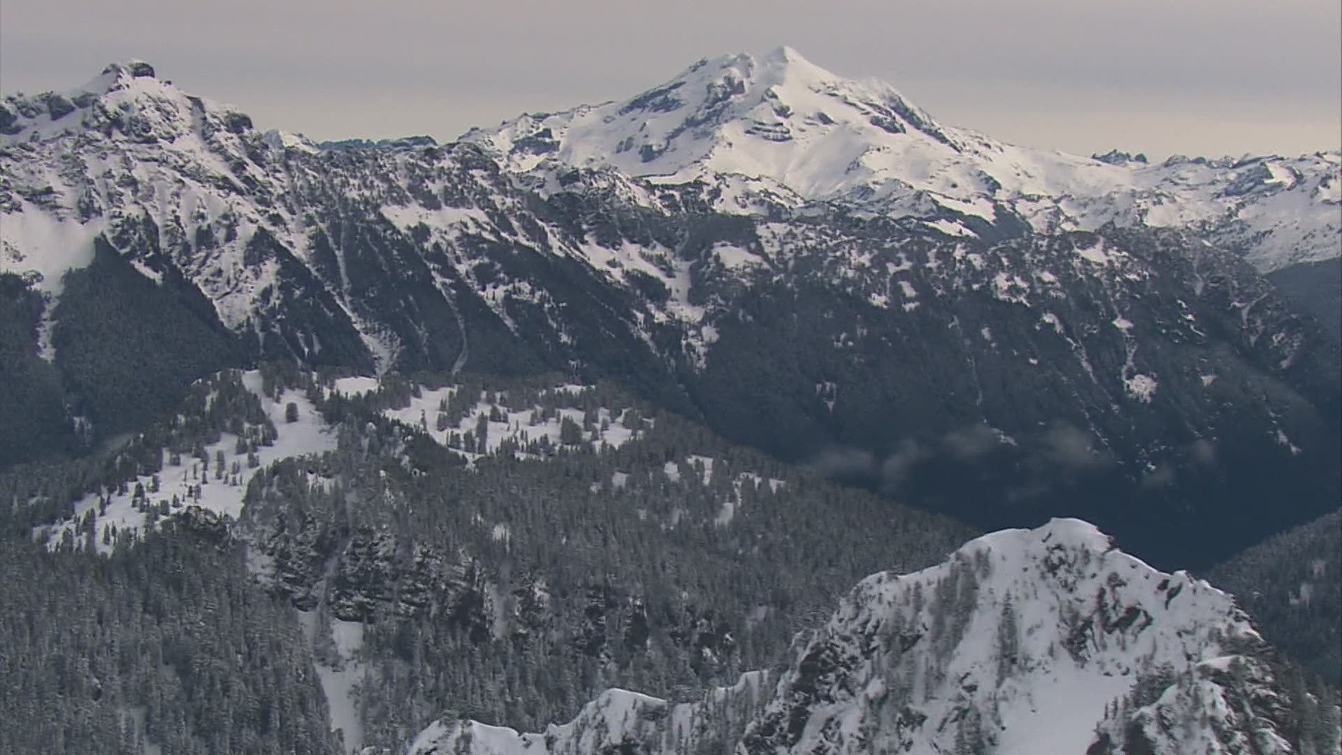
But Mount St. Helens is just one of five volcanoes in Washington state. One volcano that is still shrouded in mystery is located in Snohomish County called Glacier Peak.
“So, Glacier Peak, is the second most active explosive volcano in the Cascades, behind Mount St. Helens. But part of the risk, is how many people are exposed in those eruptions,” said Alexa Van Eaton, PhD, a physical volcanologist who specializes in these types of volcanoes. Van Eaton is with the Cascades Volcano Observatory in Vancouver, Wash., and part of the U.S. Geological Survey (USGS).
Mount Rainier is massive, and it’s ranked as the third most dangerous volcano because it’s relatively close to major population centers, including Tacoma and Puyallup.
Mount Rainier is a threat because the massive amount of ice at its highest elevations would quickly melt in an eruption gathering ash and debris forming mud flows called lahars. Those flows are expected to move at high speed down river valleys like the Puyallup.
The most recent National Volcano Threat Assessment released by the USGS in 2018 rated Mount Rainier at number three, and Glacier Peak at 15. Four of the state’s volcanoes, including Glacier Peak, Mount Rainier, Mount Baker and Mount St. Helens are considered at “very high risk,” only Mount Adams in Yakima County is slightly more comforting at “high risk.”
Van Eaton and her colleagues spent two weeks backpacking in the Glacier Peak wilderness most recently last September, looking for evidence to better pinpoint the last eruption and learn more about that eruption. They looked for and found outcroppings, which show layers of ash and mud.
“What we can do as geologists is keep going out there every season and keep collecting more information and learning what the volcano can tell us about its past level of activity,” said Van Eaton. “The other thing we were able to capture in a wonderful amount of detail, is the younger eruptions from Glacier Peak. The stuff that’s happened over the past 2,000 years, and maybe even as young as 200 years ago.”
Glacier Peak also represents a serious lahar threat, flowing down river valleys that would threaten the town of Darrington, flowing down the Sauk White Chuck and Suiattle rivers. Lahar flows that would eventually flow as far west as Burlington, La Conner and Stanwood, at lower levels of threat, according to scientists.
Because Glacier Peak is a wilderness area, studying it involves old fashioned footwork, those weeks long backpacking trips into remote areas looking for evidence that explains the past, as clues to the volcano’s future behavior.
Scientists also want better ways to monitor any changes to the mountain in real time. Currently there is only one earthquake seismometer on Glacier Peak to listen for the tiny quakes that can signal that magma is on the move.
Scientists would like at least three seismometers on Glacier Peak. Van Eaton said the hope is those additional monitors could be in place starting in 2022.

