SEATTLE — University of Washington (UW) researchers published a study Tuesday that mapped and dated past landslides in the region to better understand historical earthquakes along the Seattle Fault.
UW PhD student Eric Herzig and colleagues analyzed over 1,000 deep-seated landslides in the Puget Lowlands. The researchers said their method offers a new way to gain information about past earthquakes from landslide data.
The study published in the Bulletin of the Seismological Society of America combined landslide data with new dates obtained from measuring the surface roughness of the landslides, a relatively new technique scientists use, according to Herzig.
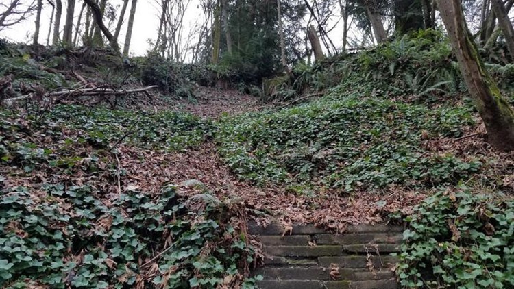
The researchers mapped the 1,000 deep-seated landslides using a technique called airborne lidar.
“Airborne lidar is a technology where a plane mounted with lasers is used to measure the shape of the land surface in detail, even through vegetation,” Herzig said. “In the past few years, this technology has been able to produce maps at one-meter resolution or better, which is essential for measuring roughness as we do in the paper.”
The study uncovered strong evidence of the last major earthquake along the Seattle Fault about 1,100 years ago, thought to be a magnitude 7 to 7.5.
“While other studies have refined our understanding of the overall strength or timing of the 1,100-year-old Seattle Fault earthquake, to our knowledge, this is the first study that has attempted to characterize the locations of strong shaking,” Herzig said.
The researchers said the earthquake scenarios that best match the clustering of 1,100-year-old landslides produced the strongest shaking within a band that stretches across central Seattle to Mercer Island and the bluffs bordering Puget Sound.
The researchers found the timing of the landslides fit better with a model of a pulse of landslides at the time of the last major earthquake, rather than landslides happening steadily throughout time.
The researchers uncovered other landslide clusters 4,600-4,200 years ago, 4,000-3,800 years ago, 2,800-2,600 years ago, and 2,200-2,000 years ago, which could all be signs of older Seattle Fault earthquakes.