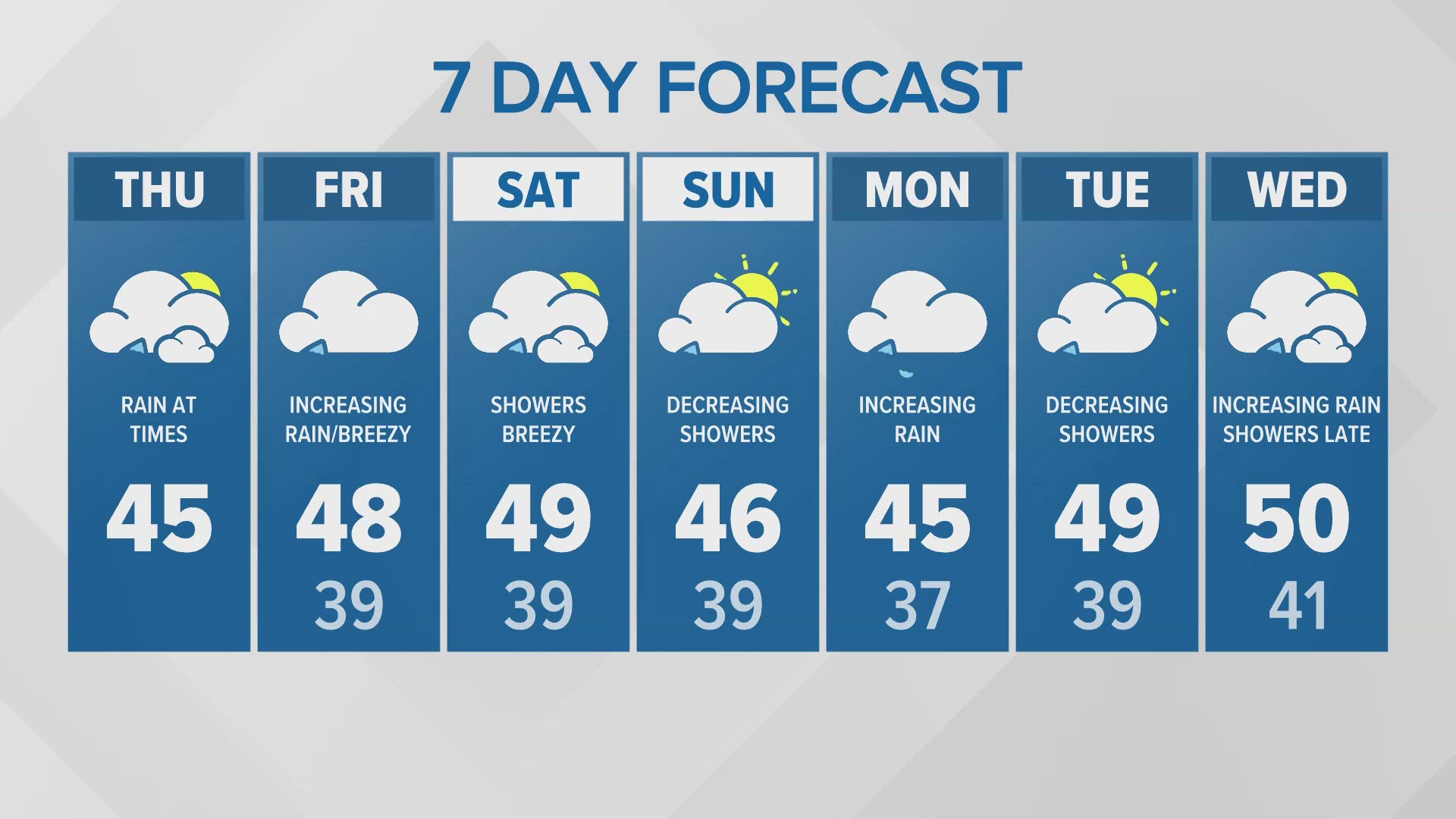
SEATTLE – Heavy rain is expected for Western Washington starting Monday afternoon and lasting through Wednesday, which means some rivers could flood. Gusty winds are also expected.
"An atmospheric river is shifting, placing much of Western Washington in the crosshairs," said KING 5 Chief Meteorologist Jeff Renner.
A large low in the north Pacific will direct a series of disturbances into the state between Monday and late Thursday, Renner said.
"The rainfall will be substantial - 8 to 14 inches will be possible between now and Thursday night over the Olympics and 2-6 inches elsewhere," he said. "That's likely to result in flooding, mainly in rivers draining from the Olympics and the North Cascades. Flooding could be major in these areas."
The heavy rainfall will bring an increased risk for landslides.
Renner said expect sustained winds of 15-30 mph over the Puget Sound area with possible gusts to 35 or 40 mph in places; south to southeast winds 20-40 mph with possible gusts to 55 north of Everett and 25-45 mph with possible gusts to 65 along the coast. Lows temperatures will be in the low to mid 50s.
A break from the rain should come Tuesday afternoon or evening before another system moves in.
Forecasters say flooding could begin Tuesday night and crest Wednesday or Thursday on the Bogachiel, Elwha, Satsop, Nooksack, Skagit and Stillaguamish rivers.
A coastal flood advisory is in effect from 2 a.m. to noon Tuesday. Low pressure at the time of high tide will cause minor flooding in low lying areas along the shoreline.
The steady rain should end Thursday, switching to off-and-on showers through Saturday.
High temperatures this week should stay in the 50s.


