SEATTLE — Wet weather returns to western Washington as another atmospheric river remains over the area on Friday, bringing with it heavy rain and heightened concerns for landslides and river flooding.
An atmospheric river is a long, narrow region in the atmosphere, like a river in the sky, that brings water vapor from the tropics, according to the National Oceanic and Atmospheric Administration. The weather system carries an amount of water vapor equivalent to the average flow of water at the mouth of the Mississippi River.
Below is a timeline of what to expect:
Friday
A cold front will push southward through Puget Sound Friday, changing the rain to off-and-on showers by nightfall.
Seattle, Olympia, Hoquiam, Tacoma and Everett are all forecasted to get over an inch of rain Friday, according to the KING 5 Weather team.
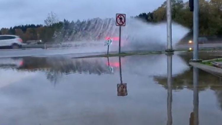
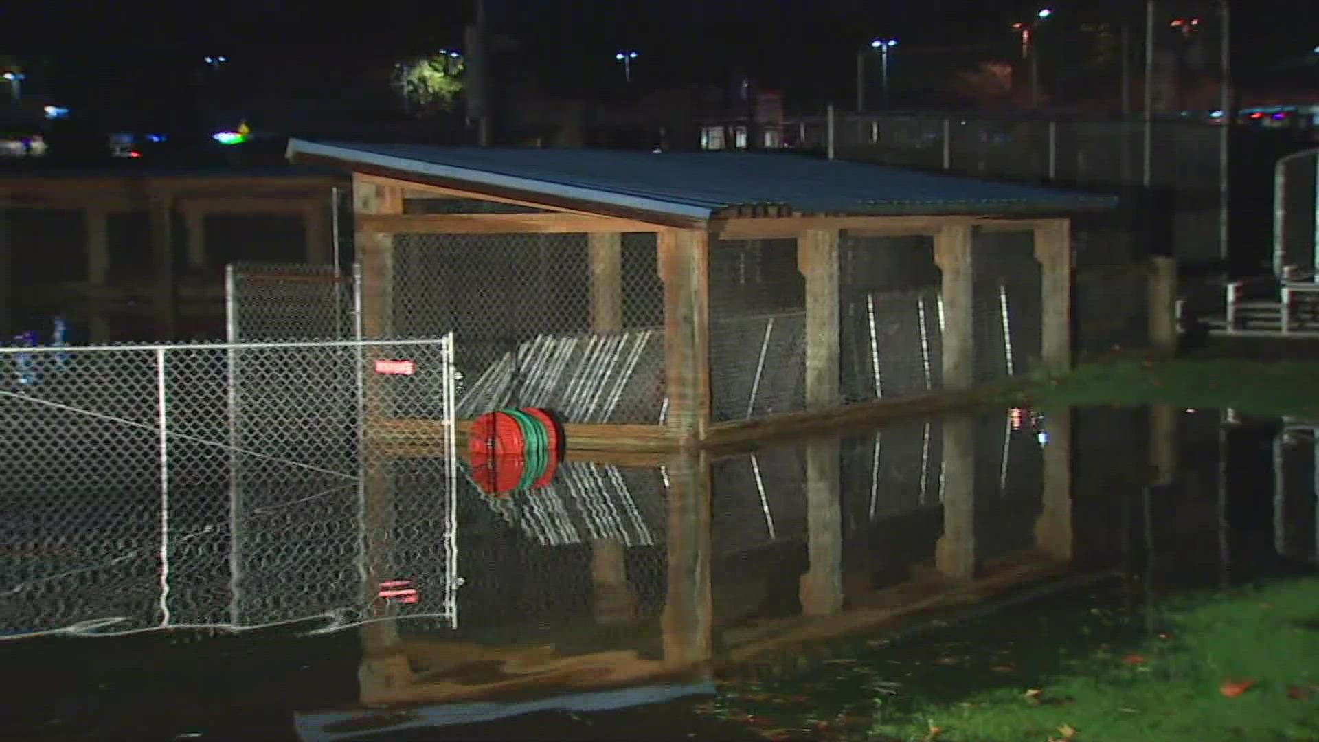
The sustained rain from Thursday and Friday brings with it the potential for flooding along rivers, small streams and low-lying urban areas, and areas with poor or blocked drainage. Standing water in some areas could complicate commutes.
The National Weather Service (NWS) issued a Flood Watch from Friday through Saturday afternoon for much of western Washington.
A Flood Warning was in effect for the following western Washington rivers as of 1:45 p.m. Friday:
- Carbon River near Fairfax affecting Pierce County
- Cowlitz River at Randle affecting Lewis County
- Cowlitz River at Packwood affecting Lewis County
- Newaukum River near Chehalis affecting Lewis County
- Nisqually River near National affecting Lewis and Pierce Counties
- Puyallup River near Orting affecting Pierce County
- Snoqualmie River near Carnation
- Snoqualmie River near Snoqualmie Falls affecting King County
- Skokomish River at Potlatch affecting Mason County
- Stillaguamish River at Arlington affecting Snohomish County
- Skagit River near Concrete affecting Skagit County
- Skykomish River near Gold Bar affecting Snohomish County
- Tolt River above Carnation affecting King County
- Snohomish River At Snohomish affecting Snohomish County
- Snohomish River Near Monroe affecting Snohomish County
- South Prairie Creek at South Prairie affecting Pierce County
- Chehalis River Above Grand Mound affecting Grays Harbor and Thurston Counties
King County also issued several flood alerts and opened a Flood Warning Center to monitor flooding. As of Friday afternoon, Snoqualmie River reached flood phase 3, and the Tolt, Skykomish and White rivers reached flood phase 2, with minor flooding expected in low-lying areas. The county said the city of Pacific may have overbank flooding, and the Red Creek area may have overtopped roads and high water.
The Skagit River near Concrete is expected to crest at 31.9 feet late Friday evening, according to the NWS. The flood stage for the river in the area is 28 feet. The crest of 31.9 feet compares to a previous crest of 31.4 feet from October 1967, the weather service said.
Anyone in need of sandbags can contact the Skagit Department of Emergency Management at 360-416-1850 or contact their local government for a location nearest them.
High levels of rainfall could possibly lead to a high risk of landslides around western Washington on Friday. Sound Transit canceled North Line service on the Sounder due to a potential for landslide activity. Passengers are asked to use existing bus service between Everett and Seattle.
Landslide risk near the Tacoma Narrows Airport, the Seattle-Tacoma International Airport and Boeing field will be higher Friday afternoon than earlier in the midst of the storm, according to a projection from the U.S. Geological Survey.
Temperatures on Friday will reach the mid to upper 50s.
Saturday into next week
Saturday will bring a break in the rainfall with partly sunny conditions before another round of rain returns Saturday night into Sunday morning. Rain will be locally heavy at times before turning to off-and-on showers by Sunday afternoon.
Some western Washington rivers are forecast to crest over the weekend, with flooding expected in some areas. Click here to check the NWS flood forecast.
Another front will push in for a repeat later Sunday into Monday, with another round of heavy rain changing to showers on Monday and windy again.
Snow levels will remain high over the weekend – running 8,000-10,000 feet.
Right now, it looks like only a few showers on Tuesday. Computer models are currently indicating we might have a stretch of dry weather starting on Wednesday, possibly lasting into the following weekend. High temperatures will cool to the mid-40s.


