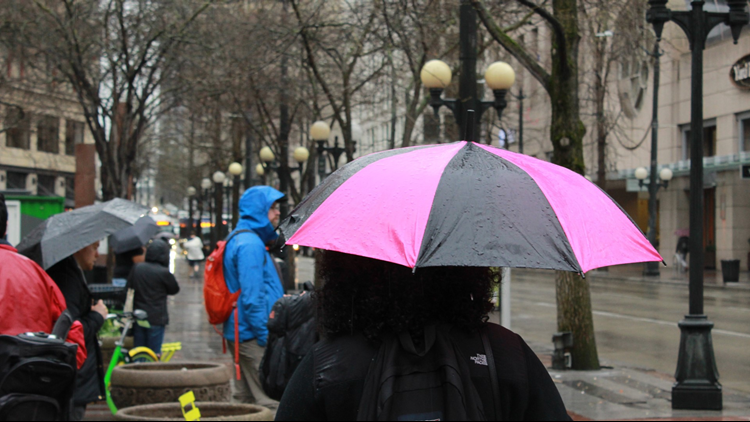
It's wet. I mean, really wet.
We don't typically see this much rain, but then again it's Seattle and rain can come any time of year. With that being said, this pattern feels a lot more like January.
Temperatures this week started off by topping out in the mid to upper 40s across Western Washington. That's it! WINTER WEATHER ADVISORIES and WINTER STORM WARNINGS are sprinkled along the Cascades with late season snow accumulating. Our "seasonal" temperature this time of year is in the lower 60s so I see why it feels like January rather than mid-April.
Let's talk about rain. The wettest April ever on record is 6.53 inches. That was set in 1991. More recently, 2013 was the year when we picked up 5.89 inches and that year currently sits in second place.
As of today, we're in the 4th place slot and we're only midway through the month. Sea-Tac's rain gauge is at 5.33 inches with more rain coming this week.
All this rain is causing landslide issues and swollen rivers. Please be careful when out-n-about for the next couple of days.
The forecast for the rest of this week calls for the rain to fade and more sunshine to swing back in. Temperatures should rebound back into the 50s as soon as Tuesday.
How about the long-range forecast? Looks like we'll be in the "normal" slot for rain from now through June. This means neither above normal or below normal chances for rain will occur here in the PNW.
Typical rain amounts for the month of May is 1.94 inches, and 1.57 inches for June.
Hopefully, we can manage more sunshine and warmth for all of you as we close in on the first day of summer.
Cheers!
Meteorologist Jordan Steele


