
A Winter Storm Advisory is in effect for the Cascade and Olympic mountains above 2,500 feet until early Monday morning.
Anyone traveling across the Cascade passes Sunday should “plan for hazardous travel conditions and prepare alternate travel plans,” the National Weather Service (NWS) said. Check current traffic conditions here.
The passes could see between 4-8 inches of new snow Sunday, with another 2-4 inches Sunday night above 2,000 feet.
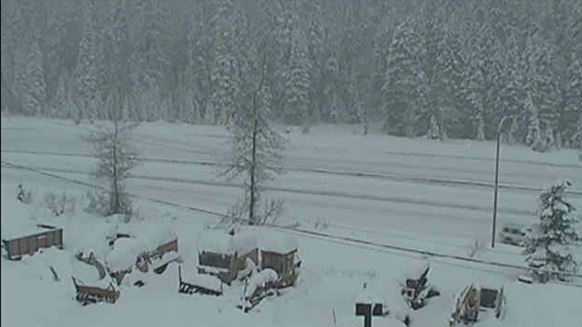
A Winter Storm Warning is also in effect until Monday at 4 a.m. for the North Cascades with heavy snow above 1,500 feet. Eastern Whatcom and Skagit Counties could see an additional foot of snow Sunday.
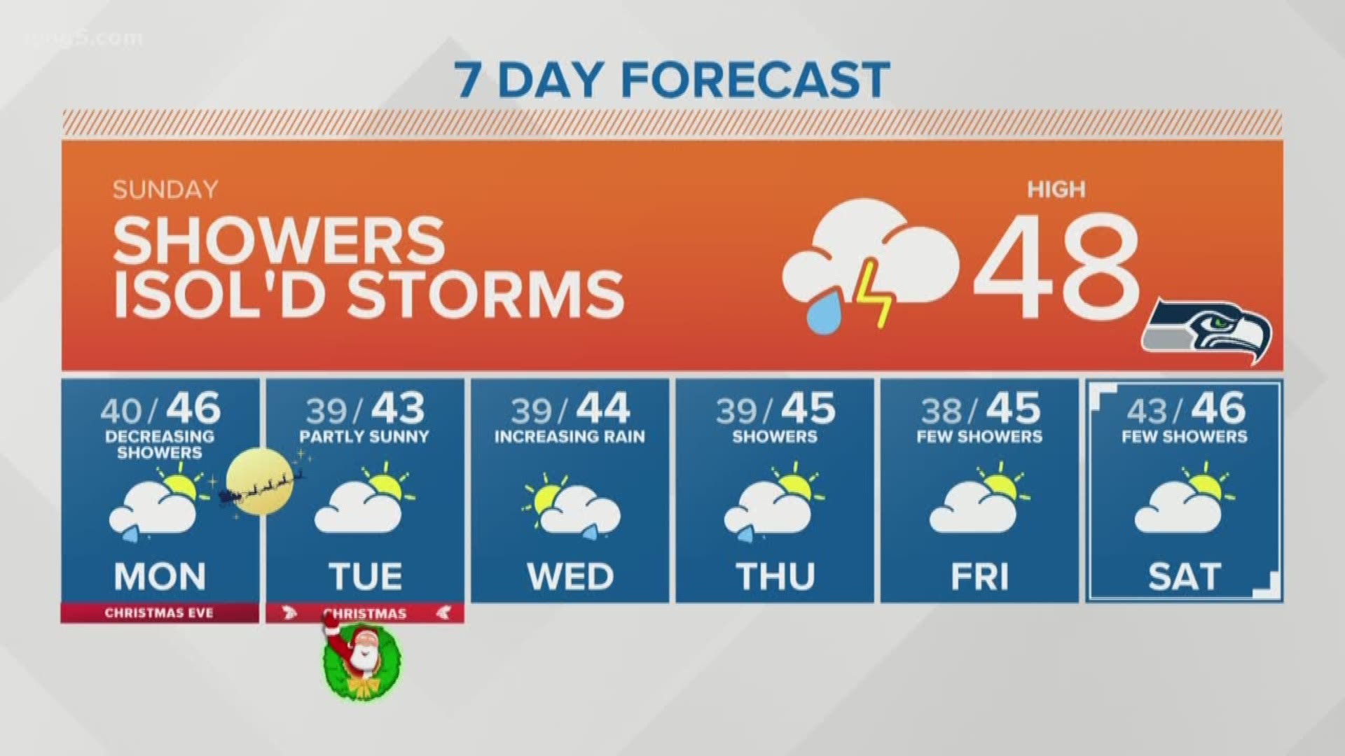
In the lowlands, things quieted down by Sunday afternoon with just a few showers and perhaps an isolated thunderstorm or two throughout the day. Temperatures will be in the 40s for the Seahawks Sunday Night Football kick-off.
VIEW: Full forecast
Minor tidal overflow is expected along Washington shorelines around high tides Sunday, and possibly Monday and Tuesday. The NWS said, "normally low spots that flood during high king tides will be affected."
A weather system will move mainly into Oregon on Monday, but it will spread some showers up into Western Washington, especially south of Seattle. It looks quiet for Christmas Day with only a few morning showers, then partly sunny with seasonable highs in the mid-40s.