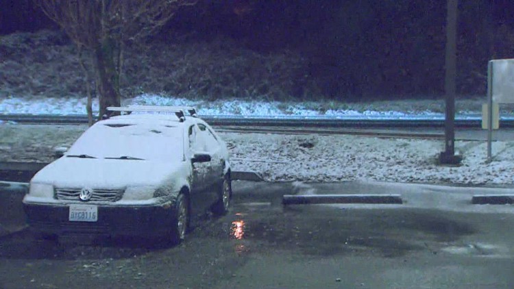
SEATTLE — There's a "slim to none" chance of lowland snow in the Puget Sound lowlands Wednesday despite temperatures dropping around or below freezing, according to the National Weather Service (NWS).
However, with lows in the upper 20s to low 30s Wednesday morning, the Cascade foothills east of the I-5 corridor could see light accumulations. These will remain generally less than 1 inch and mostly affect Snohomish, Skagit and Whatcom counties.
Widespread cold temperatures Wednesday morning may cause any water on the roads to freeze, which could cause some slick spots for the commute.
Wednesday is expected to see the coldest air of the week for western Washington, according to the (NWS).
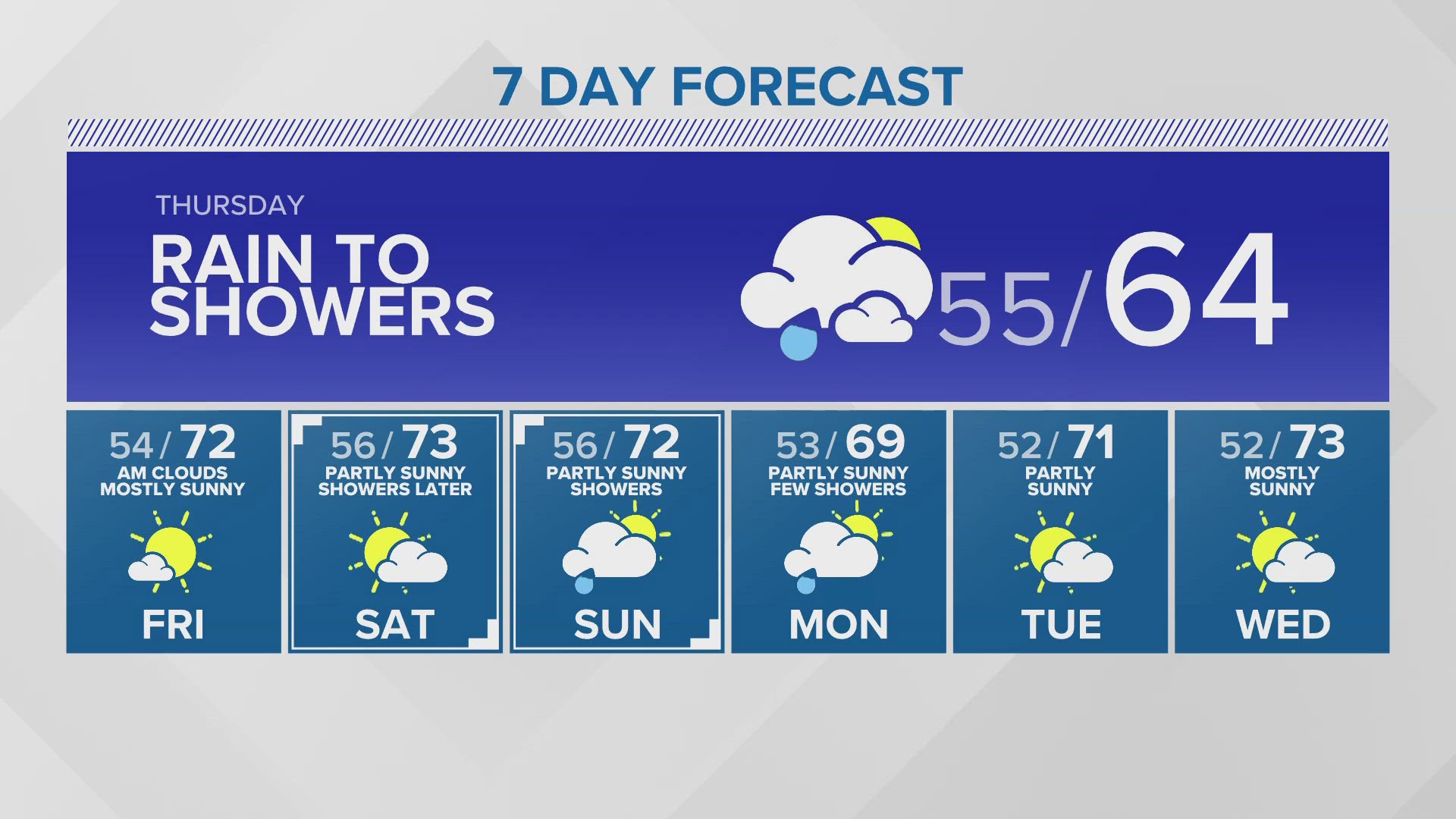
Rain will begin to increase with the entrance of a warm front into the region later this afternoon into the evening.
Temperatures will begin to warm as the front becomes stationary over the region overnight, with showers continuing through Thursday before tapering off from the south to north as the front lifts.
A cold front will then move in Friday, bringing the heaviest rainfall of the week and mountain snow to the region. This rain will taper off through Friday night.
A few showers may linger on Saturday morning, but those will end quickly. Then we should see clearing skies during the morning becoming partly to mostly sunny in the afternoon. Sunday may have some areas of clouds and fog but then turn partly to mostly sunny in the afternoon.
Monday should see increasing light rain spread back into western Washington.
Download the KING 5 app to check the interactive radar near you, as well as the latest forecast, cameras and current conditions.