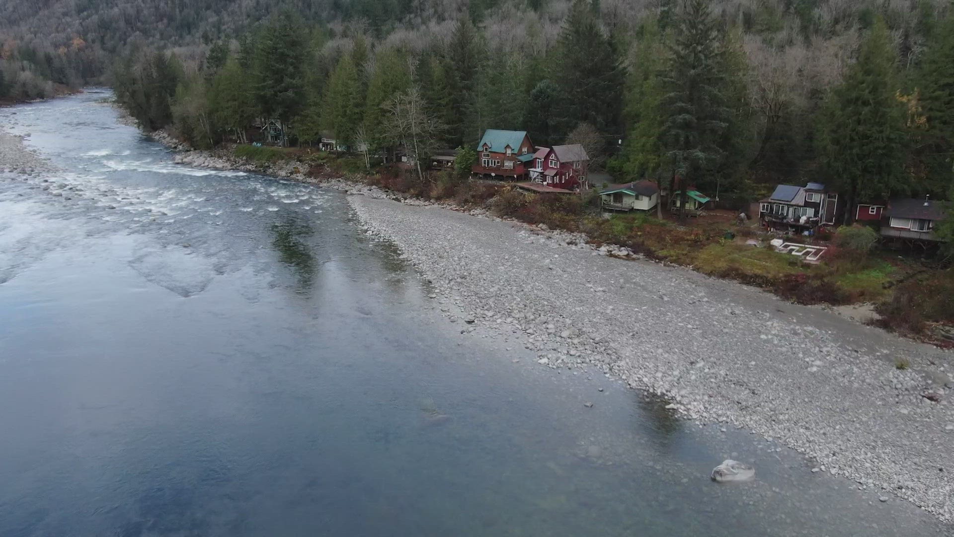
SNOHOMISH COUNTY, Wash. — High above the newly constructed Index-Galena Road, a 4 1/2-foot-long drone snaps pictures. The aircraft is mapping out the road for Snohomish County’s 911 system.
"Once we got the drones just the amount of information, we could get for ourselves and then share with others has grown exponentially," Snohomish County Geographic Information Systems Analyst Drew Schwitters said.
Index-Galena Road was wiped out by a devastating flood in November of 2006.
“Watching that flood was impressive enough to get my attention,” nearby homeowner Bruce Kimball said.
The raging water from the Skykomish River not only destroyed a mile stretch of the road, but it closed the main access to dozens of homes for 17 years. The road, built further away from the river, reopened in November.
"I’ve known families over the years that wouldn’t come with their children because of the risk involved,” Kimball said.
Now Snohomish County's Department of Emergency Management (DEM) is utilizing technology to help block Mother Nature’s punches.
The drones are gathering more information and doing it quicker than humans can. This allows the county to plan and send in crews where they’re needed most during emergencies like fires, landslides and floods.
"We're right in that busy time where we're monitoring closely,” Snohomish County public works deputy director and county engineer Doug McCormick said.
Public works calls on the drone team to identify problem areas near the county’s three rivers. It searches for erosion around and under bridges and monitors levels in tough-to-reach places.
"We never want to put an employee at risk, so having that drone video is just priceless to us,” McCormick said. “To plan ahead, ‘hey is there a new crack in that area? Is there something going on we need to address?’."
The drones have been put to the test during real-time emergencies already. During last year’s Bolt Creek Fire, the footage helped the department trigger evacuation warnings.
911 Program Manager Rob Thurston got the idea from a similar drone program in Texas.
"I read it in a magazine and said we should do this," Thurston said.
Thurston said drones are becoming more popular but not many emergency management departments use the technology for public safety. However, he believes that will soon change.
"This is pretty new for this area," Thurston said.
As Snohomish County’s population grows, the department is also mapping out new housing developments and roads, like Index-Galena, to support the 911 system and their residents.
“I’ve been here for all the high-water events and for the snow,” Kimball said. “Partly for the adventure, partly to keep my eyes on things.”
In communities like Skyko, homeowners with cabins along Index-Galena Road have felt the lasting impacts of the 2006 flood for almost two decades. They hope modern technology will allow them to live with a little less worry in their rural communities.

