TOFINO, BC — A magnitude 4.4 earthquake was recorded off Vancouver Island around 1 p.m. on Wednesday, according to preliminary information from the United States Geological Survey.
The quake's epicenter was about 130 miles from Tofino, Canada at a depth of just over 6 miles, according to the USGS.
There was a single report of someone feeling shaking by 1:50 p.m.
Earthquakes near western Washington
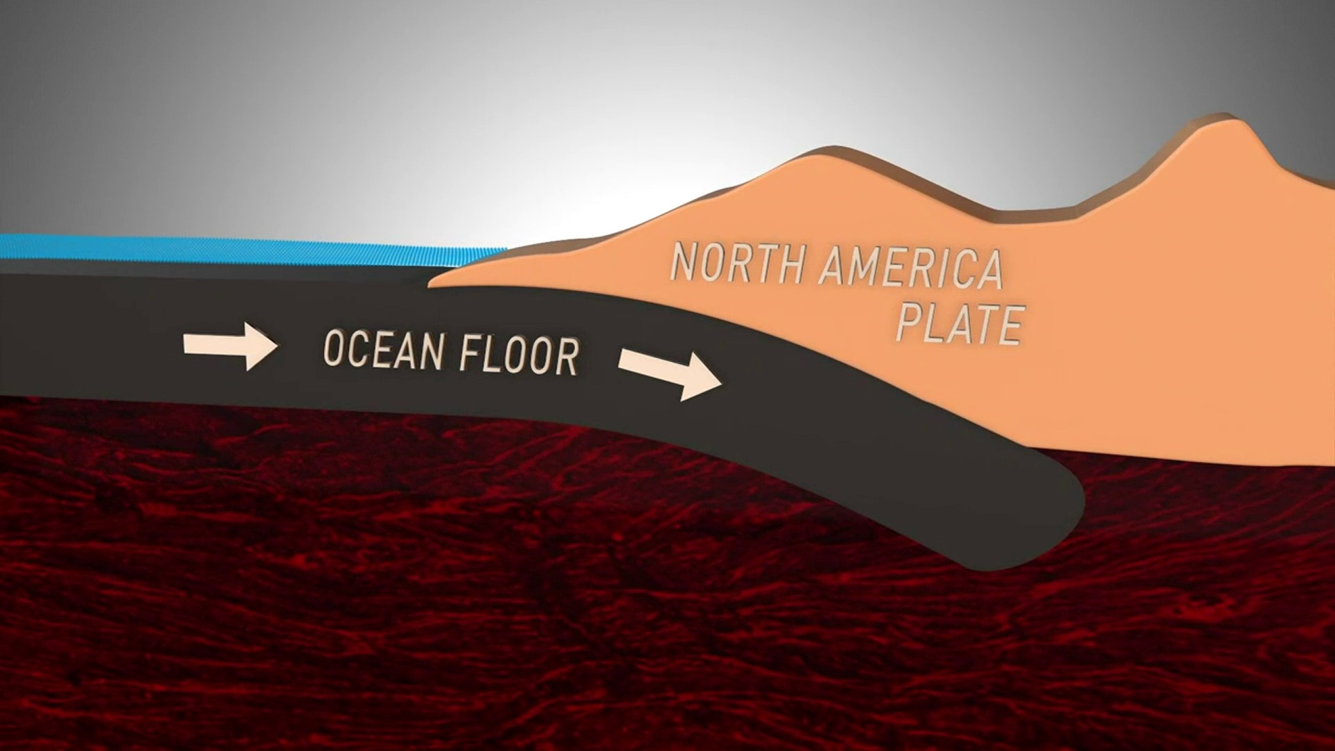
Many earthquakes in and around Washington state are linked to the motion of the Juan de Fuca Plate and the North America Continental Plate moving against each other as the Juan de Fuca Plate slips beneath the North American continent, according to PNSN. This is called the Cascadia Subduction Zone.
According to the Washington State Department of Natural Resources (DNR), earthquakes happen in Washington every day, but most are too small to be felt. The state has the second highest risk in the U.S. of experiencing a large and damaging earthquake because of its geologic setting.
The Pacific Northwest typically experiences three types of earthquakes:
- Shallow fault quakes: Ruptures in faults located in the upper 18 miles of the Earth's crust. These earthquakes typically last 20 to 60 seconds and shaking is localized to the area near the fault, according to the DNR.
- Deep earthquakes: Deep faults happen when two tectonic plates collide and one plate slips beneath the other one. These quakes can impact a large area but are less intense.
- Subduction zone earthquakes: This earthquake results from the tension of an oceanic plate slipping beneath a continental plate. When enough stress builds, the fault will rupture, releasing a massive amount of energy. The Cascadia Subduction Zone has the potential for these types of earthquakes and has ruptured in the past. It is one of Washington state's biggest hazards, according to DNR.
For a daily roundup of everything you need to know for across western Washington, sign up for our 5 Things to Know email newsletter.

