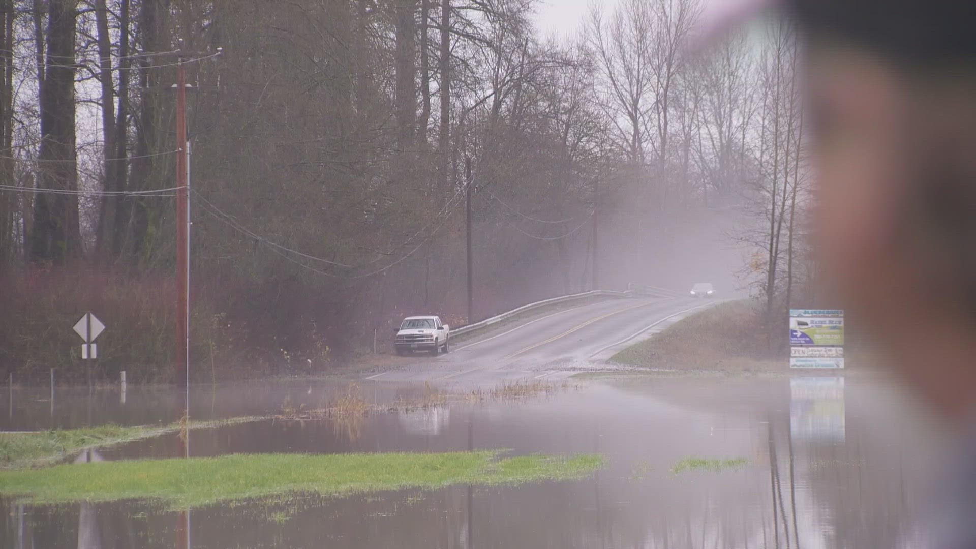
SEATTLE — A Flood Watch remains in effect for most of western Washington due to heavy rain from an atmospheric river that soaked the region.
The Flood Watch was issued Monday and will remain in effect through 4 a.m. Thursday.
The National Weather Service (NWS) warned that heavy rain paired with high snow levels has led to many rivers flooding. The heavy rain has let up and although many rivers have crested and are beginning to recede some still remain above flood level.
Where we could see flooding
King, Pierce, Snohomish, Thurston, Lewis, Clallam, Grays Harbor, Island, Jefferson, Kitsap, Mason, San Juan, Skagit, and Whatcom counties have seen impacts from the heavy, long-lasting rain .
In Snohomish County, Stanwood police took drone video Wednesday showing somebody’s home nearly swallowed by floodwaters. For that reason, first responders and other community members took matters into their own hands.
"They just put, like, a sand bar dam," said Rebecca Jette, owner of Stanwood Cupcakes. “I want to say it was about 1, or 12, they had a whole group of the community down there doing it.”
The effort aimed to keep water out of historic downtown Stanwood, but it had already come too close for comfort for the Bañuelos family.
"I see all the water kind of come from that like river, and I start walking back, like backwards, and I said, 'Everybody wake up! Everybody wake up!'" said Victoria Bañuelos, whose home in downtown Stanwood was threatened by floods.
She said a firefighter came knocking on their door at 4 a.m.
"I opened the door, it’s a firefighter and he said, 'You need to move your car. You need to put it [where it's] safe because, it's the water, right here," said Bañuelos.
She then woke up her daughter and sons.
"I was like, maybe I'm dreaming, because it's still dark out and everything, and I look outside, and I'm like, 'Oh my god," said her son Christian Bañuelos.
Several people in historic downtown Stanwood, including the Bañuelos family, told KING 5 they had never before seen floodwaters creep this high into the main thoroughfare on 271st Street. It's a street lined with charming boutiques and restaurants.
Three to 7 inches of rain fell in the Olympic and Cascade mountains. Between 8 to 10 inches of rain fell between Darrington and Gold Bar. The coast and interior lowlands saw between 2.5 and 5.5 inches.
There are still Flood Warnings on 11 rivers in western Washington this morning but the number is gradually decreasing.
As of early Wednesday morning, the Skagit River in Skagit County and the Skokomish River in Mason County were at major flood stage.
The Skagit River crested at Concrete at 33.74 feet before 10:30 p.m. Tuesday. A resolution was signed to declare a county emergency due to the flood.
RELATED: Road closures around north Puget Sound area amid heavy rainfall; man rescued from submerged car
The Stillaguamish River at Arlington set a record crest Tuesday, reaching 21.34 feet. The previous record of 21.16 feet was set Dec. 12, 2010. Major flood stage is 19 feet at that point in the river. A portion of Highway 530 was closed in Arlington Tuesday evening, including the on-ramp to I-5.
Most rivers crested Tuesday night or Wednesday morning, and most others are expected to crest Wednesday afternoon.
Skagit County activated its Emergency Operations Center Tuesday morning. Officials forecast river levels will peak on Wednesday evening in Mount Vernon.
For the latest river flooding information visit the National Weather Service Flood Information web page.
Now that the atmospheric river has moved to the east of Puget Sound, we only received occasional light rain for the rest of Wednesday. Snow levels will drop to 4,000-5,000 feet later Wednesday.
Another round of of rain will arrive Thursday. Rainfall will be light and much of it will fall as snow in the mountains where snow levels will drop to 2,400 feet by later on Thursday. A break from the rain comes Friday before more rain and mountain snow arrive over the weekend.
Weather experts say it takes just 12 inches of floodwater to move and carry a small car, so if you come across any flooding, it’s best to avoid it and obey all road closure signs.
Landslide concerns
The National Weather Service advised that there is a greater potential for landslides due to the heavy rain that's fallen over the region over the past few days.
The NWS said that the amount of rain can put extra pressure on soil instability, leading to an increased threat.

