SEATTLE — A winter storm that lingered through Friday is subsiding in western Washington.
A Winter Storm Warning expired for the Puget Sound region at 7 p.m.
The combination of snow from earlier this week, freezing rain and gusty winds this led to significant travel disruptions on roadways and at the airport. Tree and powerline damages are possible, leading to localized power outages this morning and afternoon.
RELATED: Track storm impacts here
Timeline
Friday afternoon
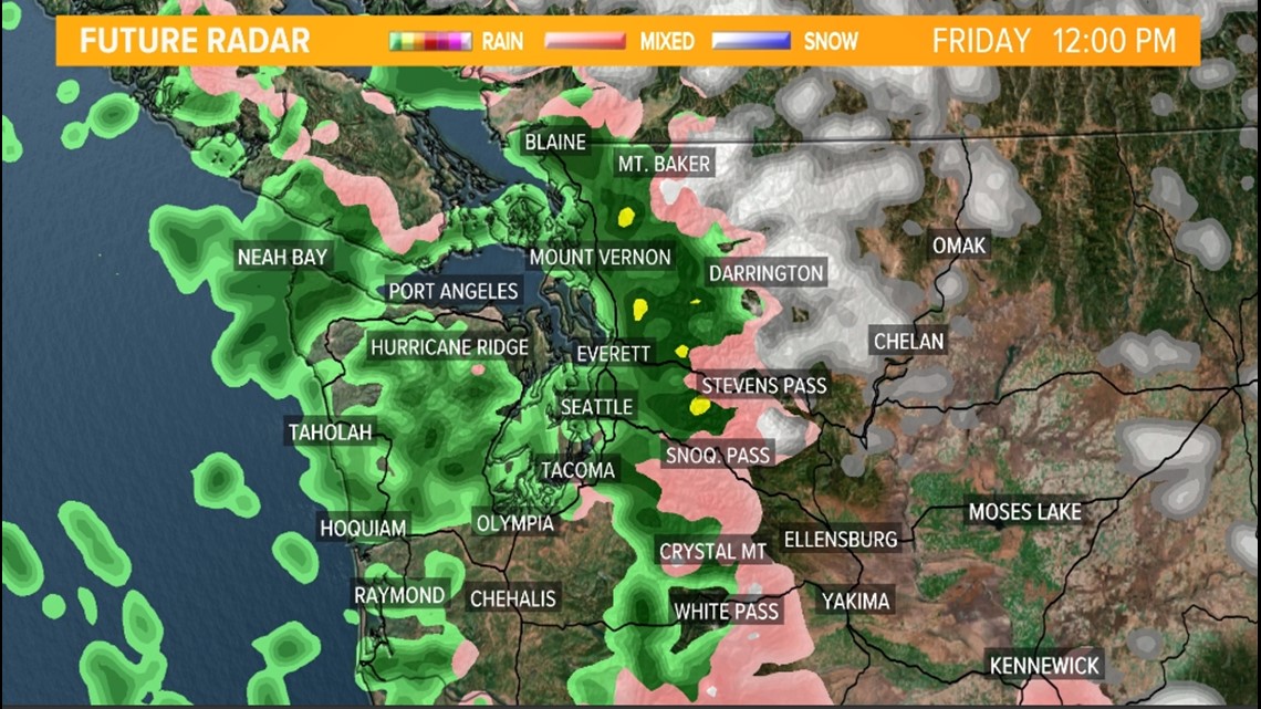
The transition to rain occurs in Seattle and Everett around lunchtime and for most of western Washington. Only a few areas will hold on to the wintry precipitation through the early afternoon.
Despite freezing rain changing to rain, icy conditions could linger well into the afternoon hours as the ice will be slow to melt. This is why the area is under a Winter Storm Warning until this evening.
Snow levels climb to around 5,000 feet late today for the mountains so many of the passes see rain late tomorrow.


Accumulations
Additional freezing rain accumulations occurred Friday morning with most areas receiving up to additional 0.05 inches of freezing rain with potentially 0.10 inches in the Cascade foothill communities.
Freezing rain "ice" hazards
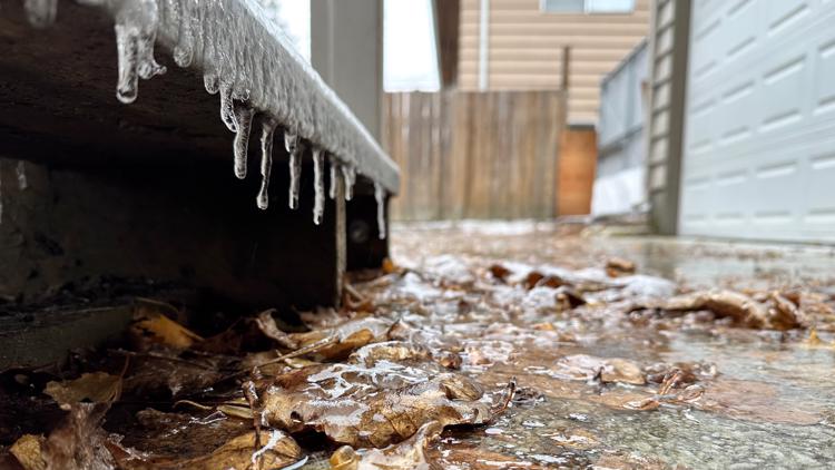
While these totals don't look impressive, it does not take much freezing rain to cause significant travel disruptions on roadways at airports.
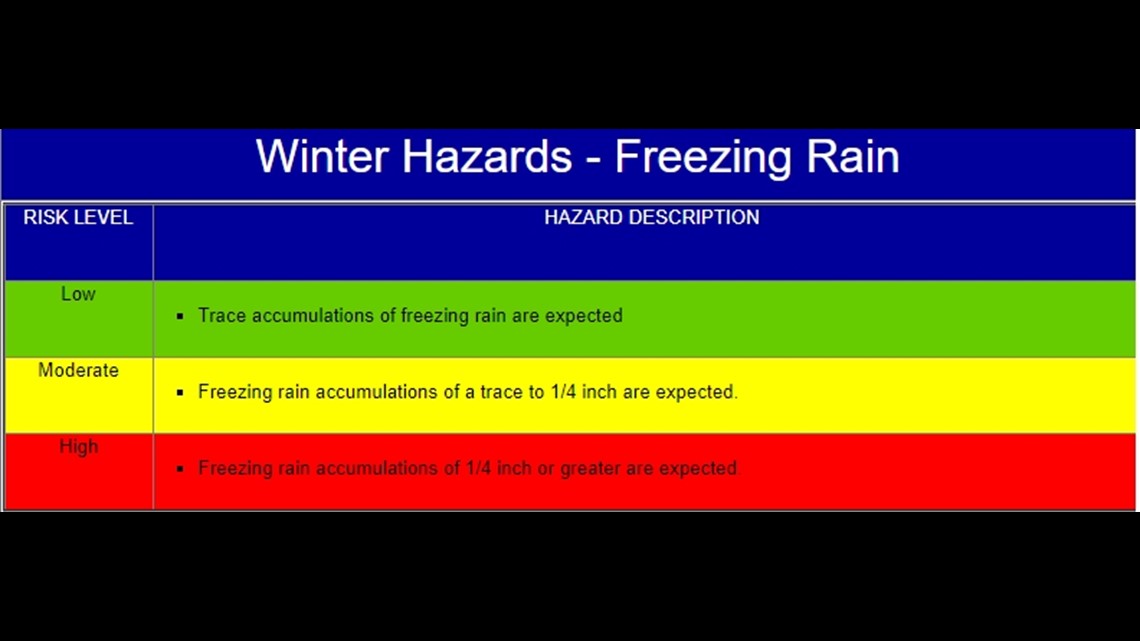
As little as a trace to 0.25 inches can cause moderate impacts with over 0.25 inches causing high or severe impacts. Parts of western Washington are forecast to see upwards of 0.25 to 0.30 inches. This can not only cause travel disruptions but can snap tree branches and powerlines.
With the very frigid temperatures experienced in western Washington over the past 48 to 72 hours, the ground and other objects are very cold so any freezing rain that falls will quickly accumulate.


Wind gust outlook
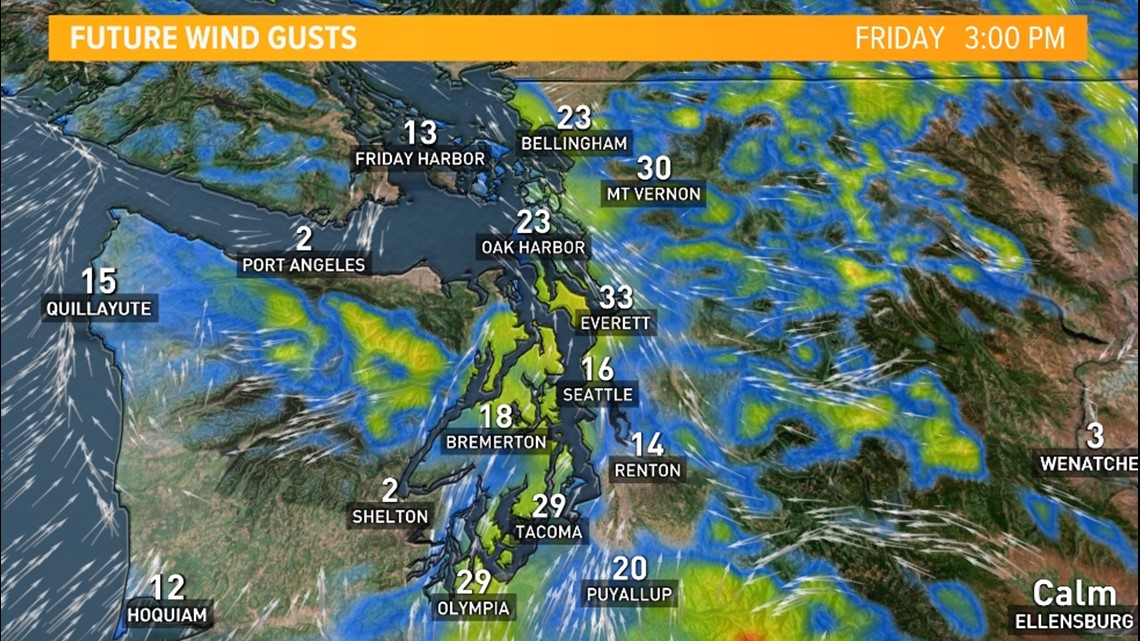
The ice accumulation weight on trees and powerlines will be exacerbated by the breeze today. Wind gusts between 15 to 30 miles per hour add to the stress of the ice weight on powerlines and trees. This could lead to some minor tree damage and isolated power outages especially in King and Snohomish counties.


