SEATTLE — Flood Warnings remain in effect or have been extended for several portions of western Washington as heavy rain subsides.
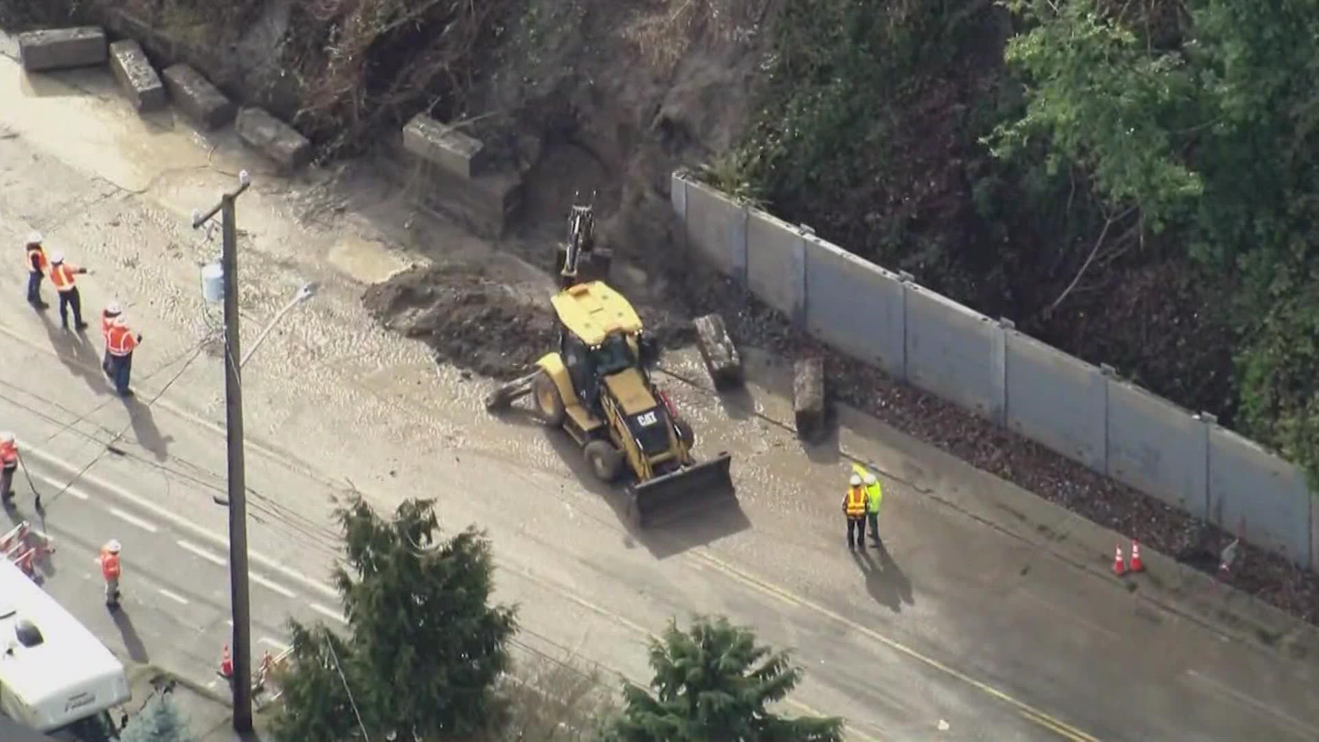
The National Weather Service (NWS) is warning residents about the increased risk of landslides after heavy rain saturated the ground. Multiple landslides have been reported across the Puget Sound region, including in King, Kitsap and Mason counties.
Heavy rain in the mountains created a “considerable” avalanche danger for most of the Cascades.
Seattle recorded 1.63 inches of rain by noon Monday, breaking the daily record of 1.46 inches set on Feb. 28, 1972. A total of 2.97 inches of rain fell in Seattle Monday, making it the third wettest day in Feb, according to the NWS. Olympia recorded 3.12 inches of rain Monday, making it the second wettest day in Feb. in the state capital.
RELATED: Western Washington Forecast
Flood Watches and Advisories
A Flood Watch is in effect for portions areas around Puget Sound and southwest Washington.
The NWS warned the recent excessive rain and runoff could cause rivers, creeks, streams, and other low-lying areas to flood. Residents living in areas prone to flooding should be prepared for possible flooding.
A Flood Advisory is in effect until 7 a.m. Thursday for parts of south-central Washington, including Kittitas, Klickitat and Yakima counties. The NWS said small stream flooding is expected due to the excessive rain.
Flood Warnings
At least 19 rivers and creeks in western Washington were under a Flood Warning Tuesday morning. Many of the rivers under a Flood Warning were expected to crest Tuesday.
Most rivers under a warning were in the minor or moderate flooding range. However, the Cowlitz River near Randle in Lewis County and the Snoqualmie River near Snoqualmie Falls and near Carnation in King County are expected to reach major flood stage.
Below is a list of Flood Warnings as of 8 p.m. on Tuesday, according to the NWS:
- Skookumchuck River near Bucoda affecting Thurston County
- Chehalis River above Grand Mound affecting Grays Harbor and Thurston Counties
- Chehalis River at Porter affecting Grays Harbor County
- Newaukum River near Chehalis affecting Lewis County
- Snohomish River at Snohomish affecting Snohomish County
- Snohomish River near Monroe affecting Snohomish County
- Cowlitz River at Randle affecting Lewis County
- Snoqualmie River near Carnation affecting King County
- Snoqualmie River near Snoqualmie Falls affecting King County
- Deschutes River near Rainier affecting Thurston County
- White River at R Street Bridge affecting King and Pierce Counties
- Skykomish River near Gold Bar affecting Snohomish County
- South Prairie Creek at South Prairie affecting Pierce County
- Green River near Auburn affecting King County
Avalanche danger
There is a “considerable” avalanche danger for most areas of Washington’s Cascade mountains Tuesday, according to the Northwest Avalanche Center (NWAC). There is a “high” avalanche danger for the east slopes north area of the Cascades.
The NWAC warned of “dangerous” and “very dangerous” avalanche conditions in the mountains.
“Continue to avoid steep slopes and steer around lower angle terrain beneath large avalanche paths,” the NWAC posted on its website.
I-90 over Snoqualmie Pass was closed for hours on Monday. It reopened just before 5 p.m., according to the Washington State Department of Transportation (WSDOT).
US 2 over Stevens Pass was also closed Monday morning due to winter weather conditions and avalanche control work. It reopened Monday afternoon.
Forecast
Sunbreaks are possible Wednesday.
Off-and-on showers will continue through Wednesday and gradually decrease Thursday. Lows Thursday morning are forecast in the upper 30s, with highs in the mid to upper 40s.
Right now, the weekend looks like sunshine except for some morning clouds. Highs will be near normal - around 50 degrees.

