Officially, climate scientists have yet to dub this an El Niño winter. Regardless, our current weather pattern is certainly showing El Niño-ish signs.
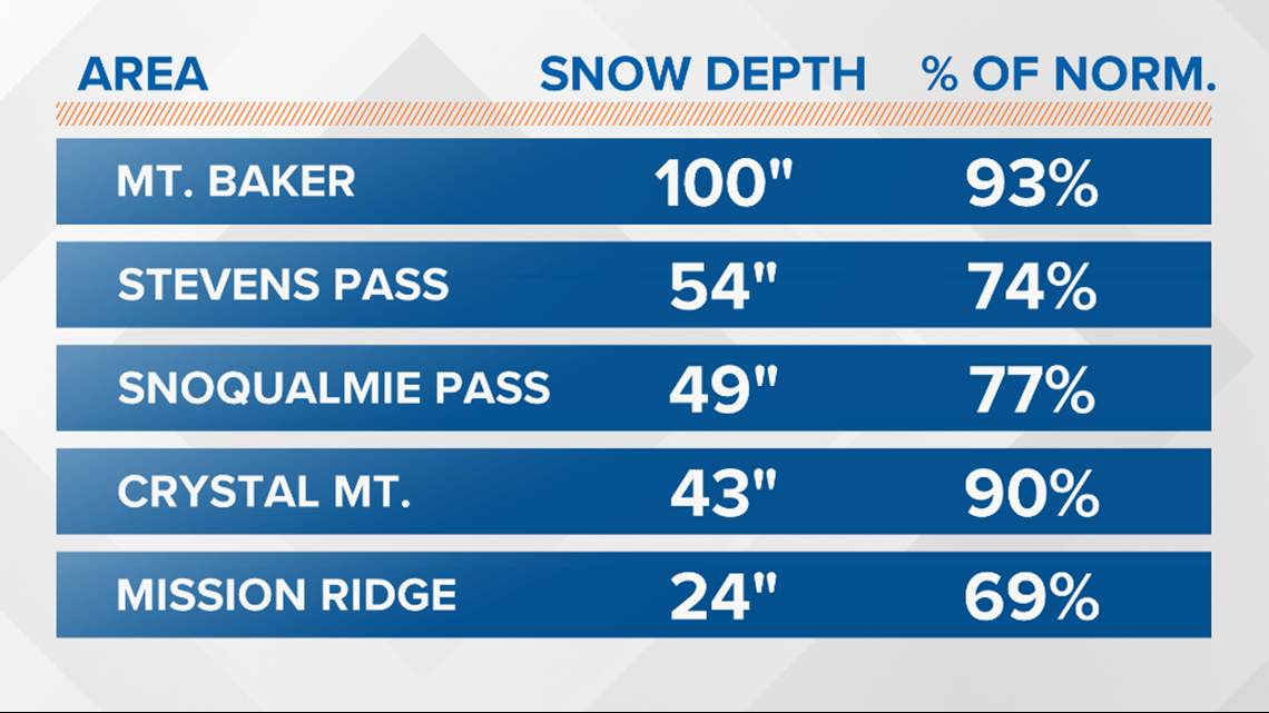
Mountain stations recording snowpack less than what's deemed "normal" for this time of year.
Here are the numbers as of Jan. 15:


A reading of 100 percent would be considered normal. These numbers are a slight improvement compared to this time last year.
Weather this past week has not been productive for our local ski resorts, while places such as Sierra Nevada in California get the brunt of numerous weather systems. This is a typical El Niño pattern.
The current forecast does call for the evolution of El Niño, with a 65 percent chance it will continue into spring.
In the Northwest, effects from El Niño tend to be felt during the second half of winter. Warmer than normal conditions contribute to lower snowfall totals in the mountains.
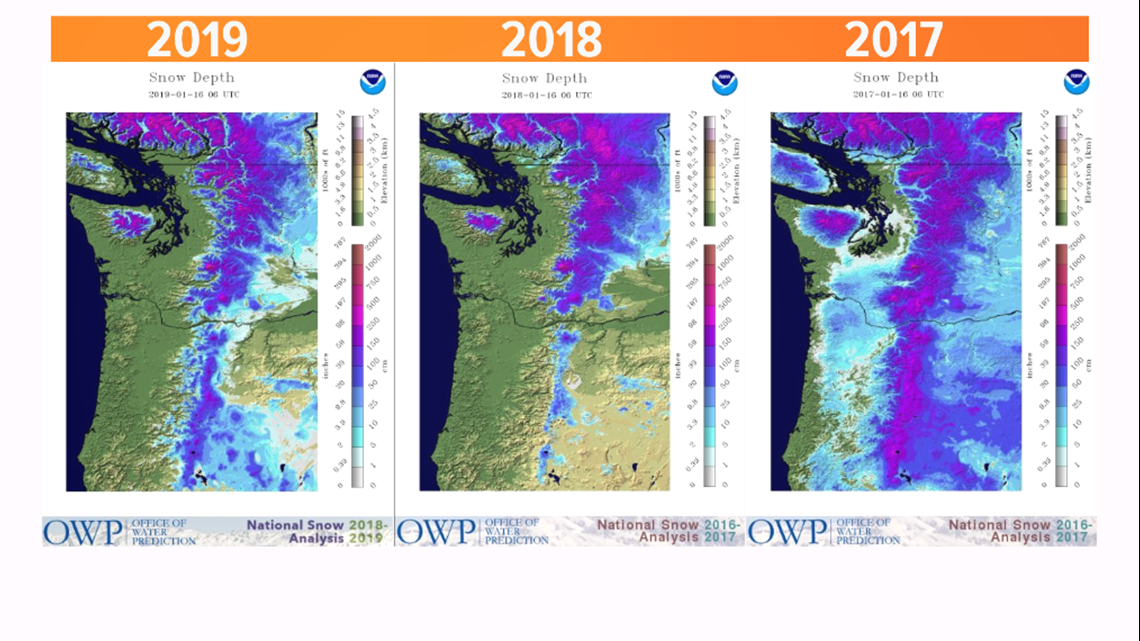
Compared to the past three years, there are some differences. For instance, last year there wasn't as much snow in the Oregon Cascades. Back in 2017, our snow situation was great. You can even see some lowland snow over parts of the Southwest Interior.


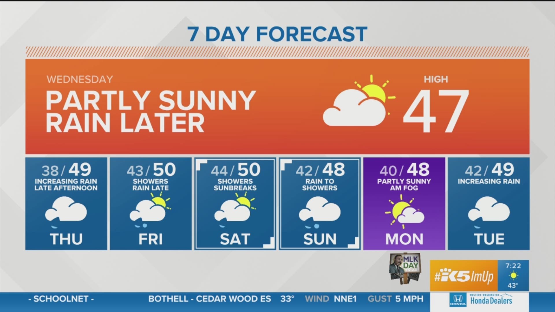
The good news? The latest short-term forecast has several weather systems dropping snow in the mountains, with the snow level hovering around 3,000 feet. That should mean a fresh coating of white before the upcoming weekend.

