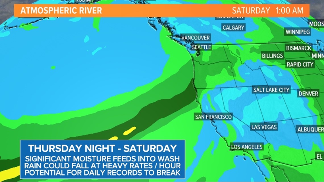
SEATTLE — A rare June storm brought heavy rain to western Washington Thursday. The storm broke daily rainfall records for several cities and prompted flooding concerns for parts of the Puget Sound region. And more rain is in the forecast this weekend.
The National Weather Service (NWS) of Seattle said Thursday’s wet weather set daily rainfall records at all six of the region’s climate reporting sites.
Sea-Tac Airport recorded 1.10 inches of rain Thursday, which broke the old record of 0.72 inches set in 1993. The NWS said Thursday was the sixth wettest June day on record at the airport.
Seattle averages 1.45 inches of rain for the entire month of June. As of 7 a.m. Friday, the NWS said 2.17 inches of rain had been recorded at Sea-Tac Airport this month - making it the 17th rainiest June on record, with 21 days left to go.
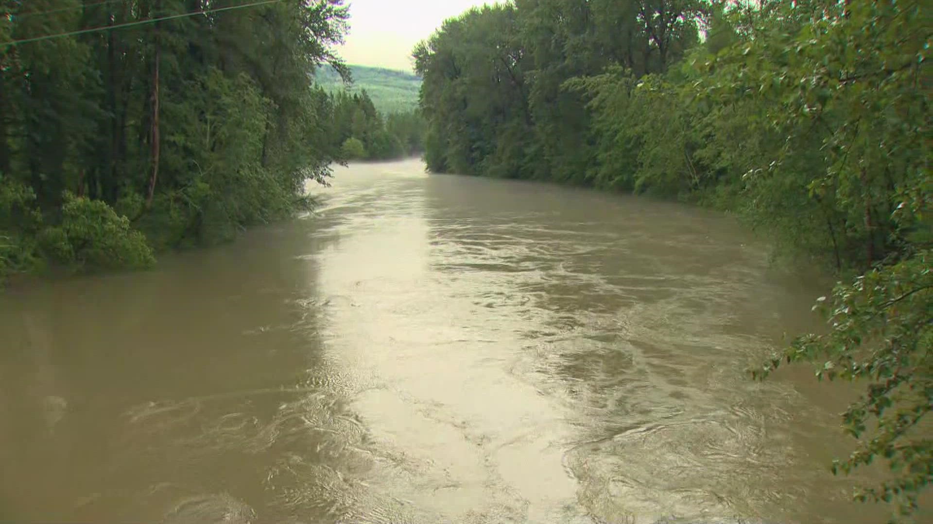
River flooding is possible Friday for multiple western Washington rivers, but the NWS said most rivers are expected to recede Saturday. All Flood Warnings and Watches have ended.
Another weather system will keep steadier rain in the forecast late Friday into early Saturday. Below is a timeline of what to expect and the potential flooding impacts:
Timeline
The NWS said June’s unusual heavy rainfall, late mountain snowmelt and runoff could cause some rivers to sharply rise with minor flooding possible in some areas.
Significant flooding concerns are not currently anticipated but minor nuisance flooding is possible for areas that see heavier rain, especially for poor drainage areas and urban layouts.
The NWS said the “rivers of concern” for flooding were the Skagit, Snoqualmie and Cowlitz, with a lower potential for flooding for the Skykomish and Skokomish rivers. Most rivers are expected to recede Friday night into Saturday, the weather service said.
King County opened its Flood Warning Center early Friday morning to monitor flooding on the Snoqualmie River due to heavy rainfall across the region. The county said the river was “well above the Phase 2 flood alert level” as of 12:45 a.m. Friday and impacting some roadways. Click here for more information.
Along with flooding, there is also an elevated landslide risk due to the high soil moisture content, especially near steep, unstable slopes.
Friday
Friday morning is expected to be mostly cloudy with a few showers and sunbreaks.
Rain is forecast to increase Friday afternoon with steady rain spreading as far north as Seattle, with a few showers to the north. Areas from Seattle southward are expected to see less than 0.5 inches of rain, according to KING 5 Meteorologist Rich Marriott.
The NWS issued a Flood Warning for the Skagit River near Concrete in Skagit County on Friday morning, but that warning has ended. A Flood Watch for parts of northwest Washington has also expired.
Highs on Friday will be in the mid to upper 60s.


Saturday
Saturday will see a pause in the rain with only a couple of showers mixed with sunshine, according to Marriott.
Most of the showers on Saturday will be in the mountains, with some isolated showers in the interior. Highs on Saturday will be in the upper 60s.
Sunday and beyond
An upper-level disturbance will move through on Sunday for an increase in showers, especially in the convergence zone area.
Cool showery air will remain over the state on Monday for off-and-on showers mixed with sun and highs only in the low 60s.
Tuesday will see a little more sun and only a few showers.
It should dry out completely for Wednesday, with showers moving back in on Thursday. Highs remain cool for June in the mid-60s.

