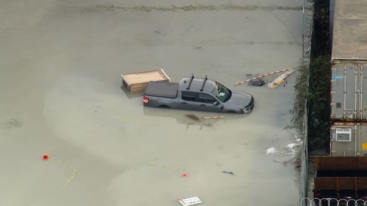
SEATTLE — Coming off of widespread coastal flooding Tuesday around Puget Sound and along the Washington coast, the flood risk continues Wednesday.
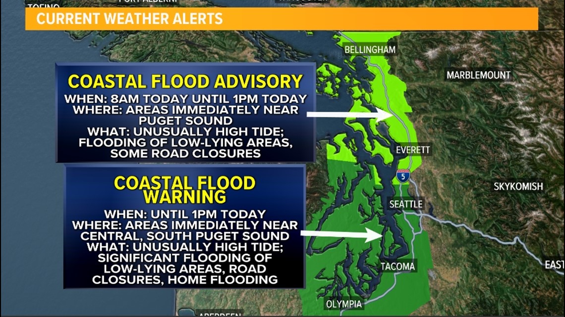
Another unusually high tide is forecast Wednesday, which could cause significant flooding for areas immediately near Central and South Puget Sound, the Kitsap Peninsula, and the Hood Canal.
Because of the high tide flooding risk, the Seattle National Weather Service issued a Coastal Flood Warning for these areas until 1 p.m. Wednesday. This is where significant flooding could close roadways and potentially threaten low-lying property that typically floods during unusually high tides.
Farther north, North Sound and the San Juan Islands are under a Coastal Flood Advisory until 1 p.m. Wednesday where minor coastal flooding is expected that could cause isolated road closures.


High tide is expected around 9:24 a.m. Wednesday morning. The current forecast suggests areas in the Coastal Flood Warning will see a tide about half a foot lower than yesterday's tide with areas in the Coastal Flood Advisory experiencing a tide around a foot to a foot and a half less than yesterday.
Low tide is expected around 3:39 p.m. Wednesday.
These unusually high tides are expected due to the astronomically higher tides this time of the year paired with lower atmospheric pressure over the region with yesterday's storm system. That storm system is moving out of the area, and the pressure is begging to rise, which will help prevent tides from reaching or exceeding yesterday's levels.
High tides causing flooding will become a concern for coastal Washington and areas around Puget Sound as sea-levels continue to rise.


