It’s been a rough winter, and now we’re in the midst of a rough spring. When will it let up?
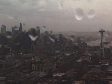
Our rain gauges keep overflowing, and the records continue to break. We’ve received 19.44 inches of rain since February 1, according to the National Weather Service, which brings us closer to the most rain we’ve ever received between February 1 and April 30. The overall record is 19.73 inches set back in 2014.
Let’s take it a step further – as of Oct. 1, 2016, Seattle has received 44.06 inches of rainfall, which is the second wettest October through April on record. The title goes to last year when we picked up 44.52 inches of rain between the same months.
Think we will take that first place this year? It’s definitely possible, because after Friday we have a lot more rain in the future.
We haven’t had too many dry days, so it’s important to take advantage of them when we have them. In fact, we sit at 141 days of measurable precipitation since October 1, and it’s starting to make Seattleites a little cranky.

Let’s break down the forecast from this point forward.
After Friday’s dry, mid 60s day, we have rain moving back in and won’t let up for the next week. That’s right, rain every single day.
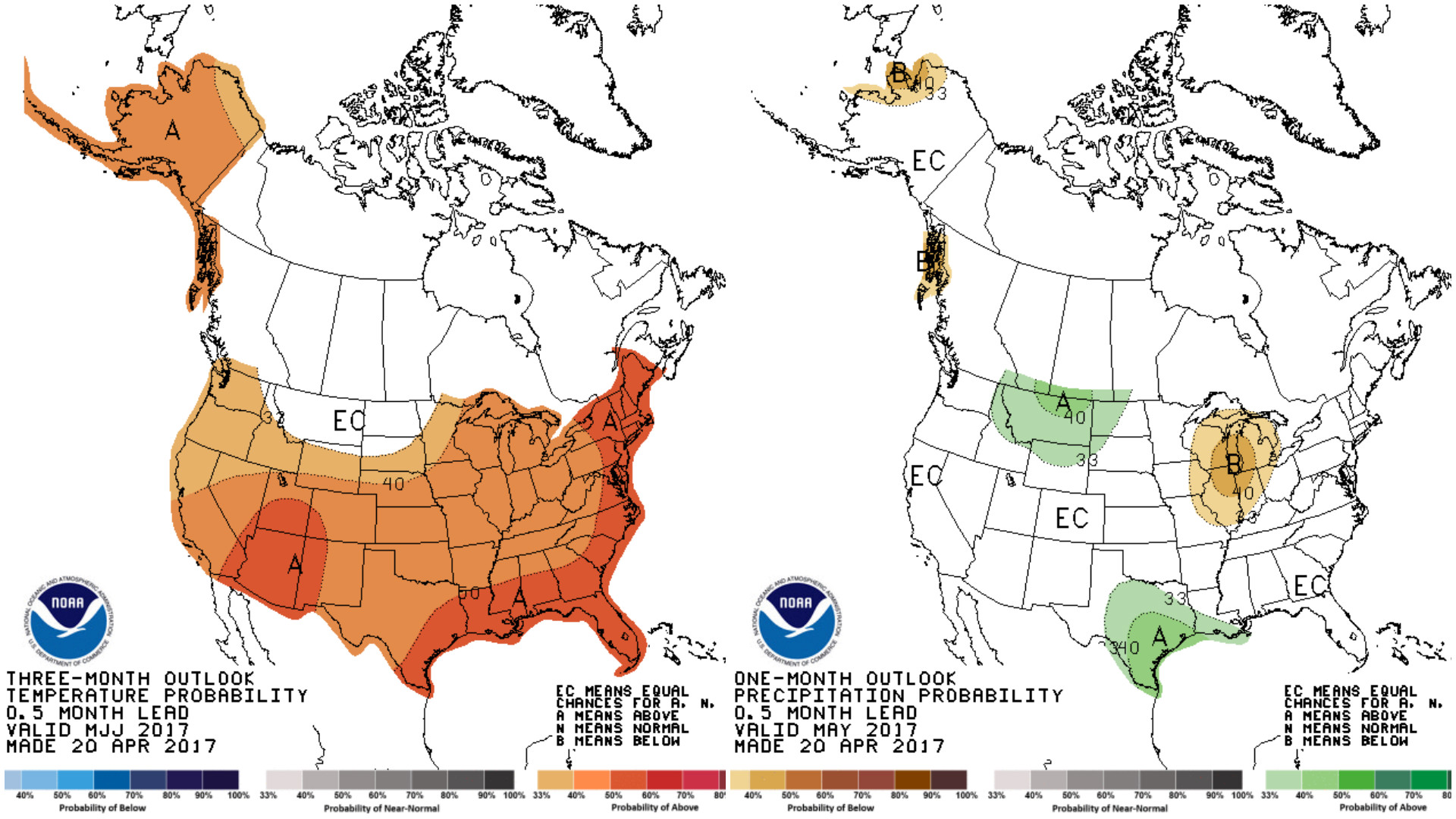
Now, when we look at long range models. This gives us an idea of what happens after April and it brings us good news. It looks like we might finally get this cold/wet pattern to shift out of here and bring back sunny/warm days for May.
And to give you something else to look forward to, it looks like this summer will bring us above normal temperatures with average rainfall.
- Meteorologist Jordan Steele


