
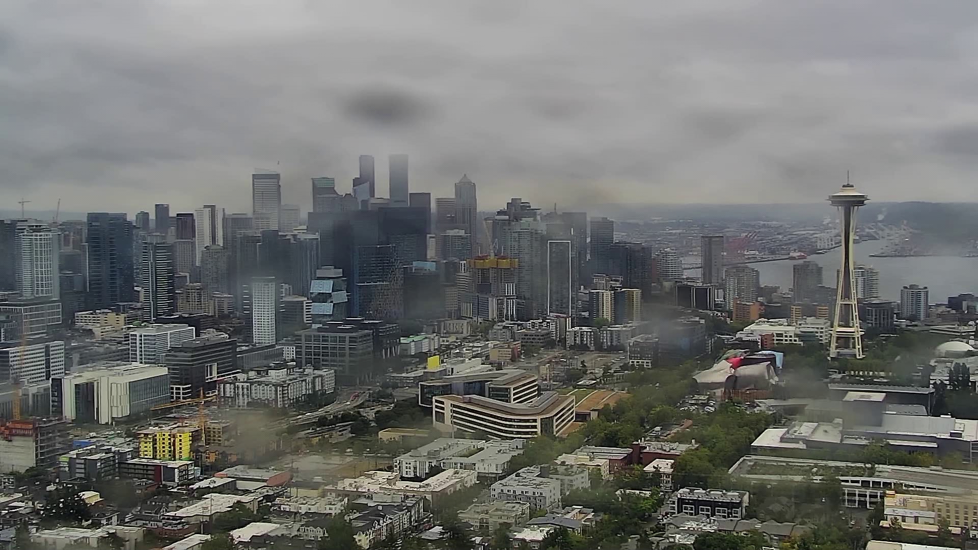
SEATTLE — Despite the rain, cold and desire to cozy up in your favorite fuzzy sweater, there’s still officially 29 days of summer.
But at the end of a summer that brought the longest streak of days with 80-degree temperatures, this weekend could bring record rainfall to western Washington.
Cities in the upper half of Washington state could see the entire normal amount of August rainfall within just 12 to 18 hours between Friday and Saturday morning, according to the National Weather Service Seattle. Rain should subside by 10 a.m. Saturday.
Cool, cloudy and wet weather continues with most of the rain appearing on Friday and Saturday but will start to dry off and warm up on Sunday, according to KING 5 Chief Meteorologist Mike Everett.
The strongest rain will be seen north of King County, Everett said. King, Snohomish, Skagit, Whatcom, Island and San Juan counties could see 2 inches or more of rain. Bellingham and Friday Harbor will also see record rainfall.
Everett said this rainfall is great news for suppressing wildfires in Washington, Oregon, Idaho and into British Columbia.
Friday’s forecasted high temperature of 62 degrees is the coldest day since June 3 where the temperature hit 59 degrees. Typically, 62 degrees is the normal high temperature for Seattle in mid-October.
If the cooler temperatures persist, Seattle would be on track to record its coldest August since 2011, Everett said.
Even if you’ve already purchased your first Pumpkin Spice Latte of the season, sunshine and temperatures in the 70s return later next week just in time for Labor Day Weekend.