SEATTLE — The Pacific Northwest has been stuck in a cool, active weather pattern for the past several weeks and that's not expected to change.
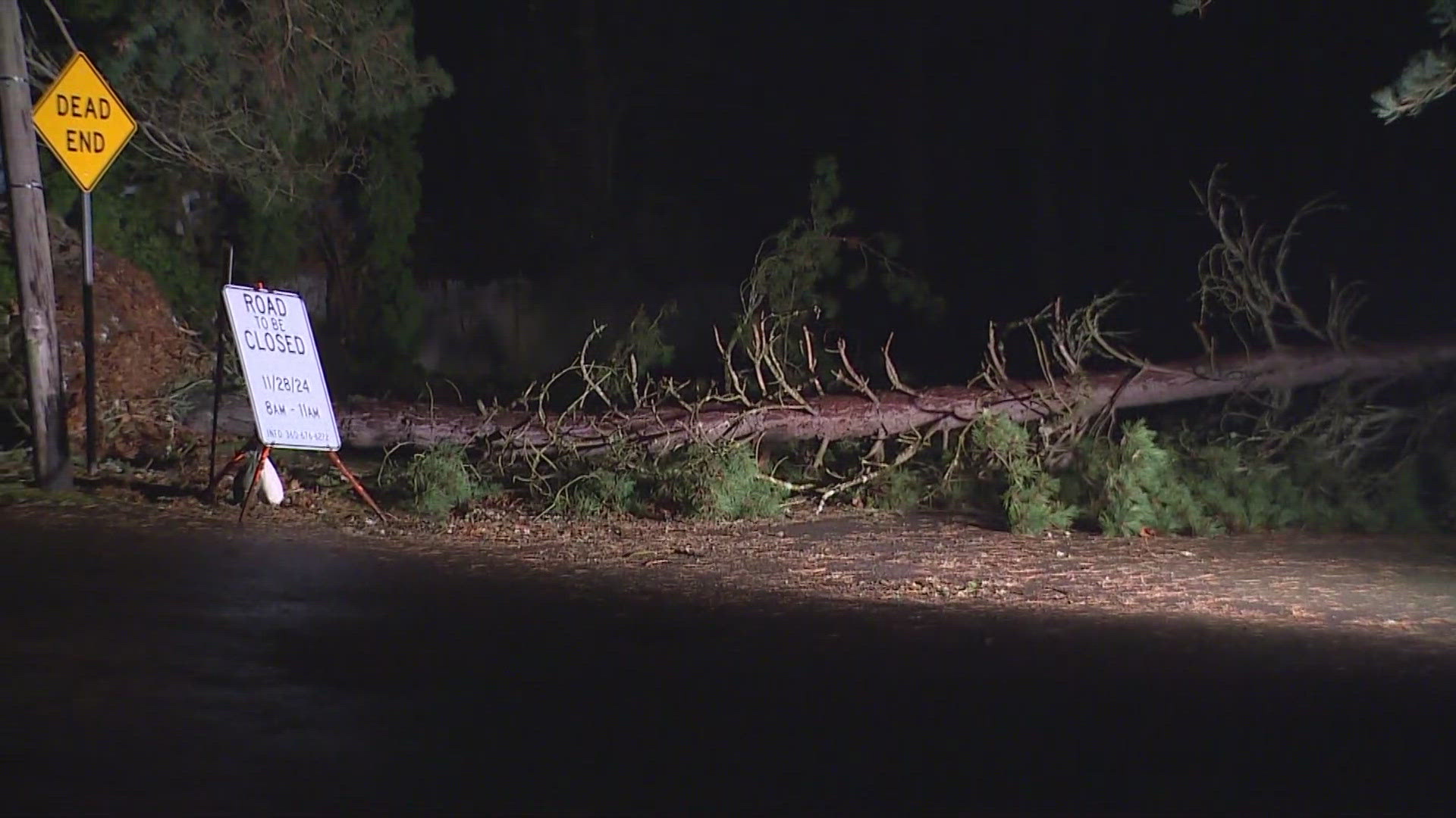
A low-pressure system is bringing wind, rain, and snow to western Washington Friday. This is similar to the recent storms we've seen recently.
RELATED: Western Washington forecast
The impacts won't be as drastic as what areas farther south will see but this is the same system that will help sling atmospheric moisture into California leading to areas of heavy rain and flooding. Fortunately, this system will be tamer to western Washington but we will still see impacts through Friday afternoon.
Wind forecast
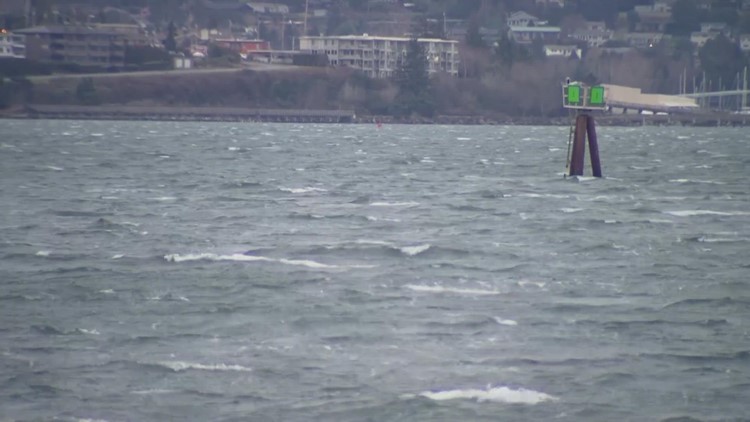
This storm system created an uptick in strong offshore winds Thursday evening, especially for the western Cascade foothills of Snohomish, King, and Pierce counties. Easterly wind gusts were expected to peak around 40 to 45 mph for the Cascade communities with winds potentially gusting upwards of 50 mph in the favored gap areas.
Closer to the I-5 corridor for the eastern Puget Sound lowlands, including Seattle, Everett, Bellevue, and Tacoma, wind gusts were expected to approach 20 to 30 mph.
Winds eased by early Friday morning. No wind alerts are currently in effect for western Washington.
Rain and snow forecast
Rain showers gradually shifted north along I-5 into Seattle and Everett by early Friday morning with the rain shifting farther north into the Northwest Interior by mid-Friday morning. The morning commute along I-5 will be wet so give yourself extra time for the Friday morning commute.
Most lowland areas in western Washington will see a cold rain but there's enough cold air throughout the atmosphere, along with lower dewpoints due to the offshore winds Thursday evening, that some of the heavier precipitation could pull down a few wet snowflakes into lowland areas at times.
Favored areas to see snow will be away from Puget Sound and hills above 500 feet. Accumulations are not expected for locations below 1,000 feet Friday morning. The lowland rain, or at times rain/snow mix, will gradually diminish by Friday afternoon for areas outside of the convergence zone.
The mountains will get in on accumulating snow that could impact travel, especially with the strong, gusty winds blowing around the snow. Above 3,000 feet, 6-12 inches of snow are expected Thursday night through Friday. This does include Snoqualmie Pass and Stevens Pass where there's a Winter Weather Advisory from 7 p.m. Thursday until 10 p.m. Friday.


