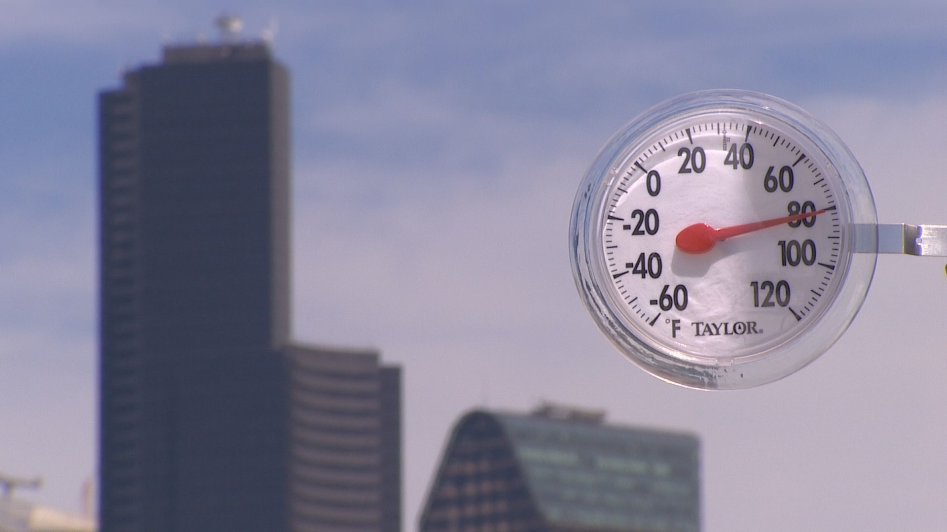
Seattle officially reached 80 degrees for the first time in nearly nine months Monday.
Sea-Tac Airport, where the official Seattle temperature is recorded, hit the mark just before 3 p.m. The high reached 83 degrees, three degrees shy of the May 22 record of 86 set in 1969.
The last time it was above 80 was August 26, 2016 when it went above and beyond to 92 degrees.
If you suffer when it gets above 80, it won't last for long. A weather system will drop down the British Columbia coast Tuesday. It will generate onshore winds, bringing clouds into the coastal beaches Tuesday morning. The cooler air (but not the clouds) will reach Puget Sound by early afternoon limiting our highs to the mid to upper 70s. As the disturbance moves through southern BC, it will bring in more clouds Tuesday night into Wednesday with a slight chance of a shower.
However, the high pressure rebuilds quickly for more sun and warmer Thursday. Then the high settles in over us for the holiday weekend. Right now it looks like a few morning clouds otherwise sunshine and highs in the mid-70s.
It has been a while since we have had a warm stretch of weather, but it may have been worth the wait.


