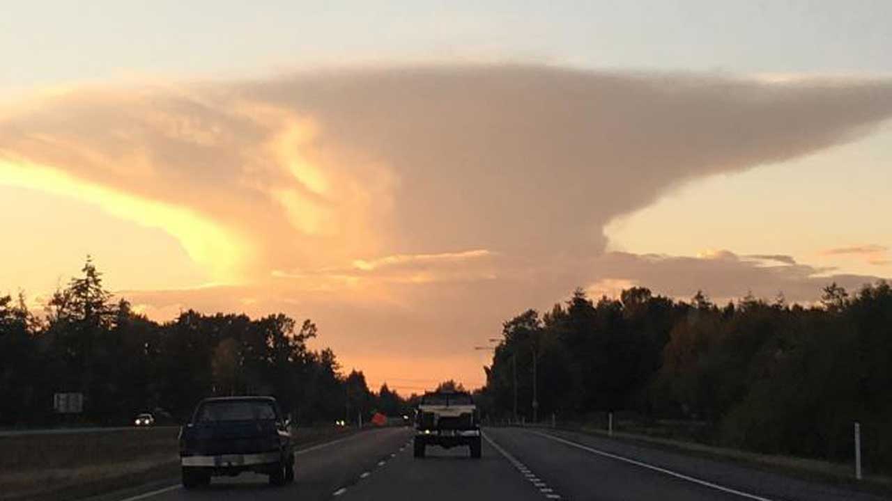
You may have spotted it over the mountains near Vancouver, B.C. or the Bellingham area - a strange looking cloud with a flat top that resembles a giant anvil.
The technical name for this type of cloud is cumulonimbus incus, also referred to as an anvil cloud. Cumulonimbus are often associated with lightning and heavy rain or hail.
Anvil clouds are generated when a parcel of air becomes warmer than the surrounding air, i.e. when sunshine heats the air near the ground. That air parcel then begins to rise just like a hot air balloon.
If conditions are right, the air around the parcel will cool more quickly than the parcel, and it continues to rise. As the air rises in a column, it cools and condenses, forming the cloud that eventually drops rain and/or ice crystals.
The cloud eventually hits an altitude where it reaches the same temperature as the surrounding air, or "equilibrium level." It stops rising and horizontal winds stretch the cloud out into the classic anvil shape.


