SEATTLE — Washington is currently experiencing one of the strongest El Niños on record, but change could be on the horizon next year.
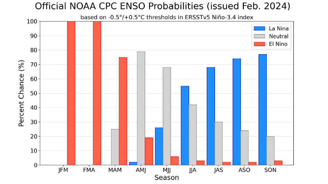
The National Oceanic and Atmospheric Administration’s (NOAA) Climate Prediction Center issued a La Niña Watch on Thursday, indicating increasing odds of those conditions developing this summer and remaining into the fall.
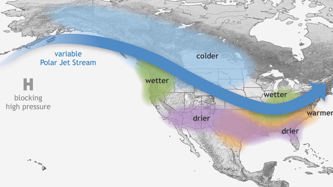
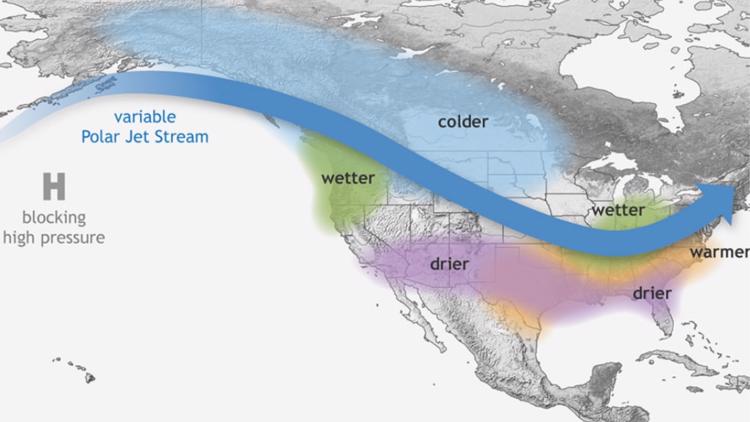
El Niño is a weather phenomenon correlated with greater chances of warmer and drier weather in the Pacific Northwest. La Niña is associated with greater chances of wetter and colder conditions.
The Climate Prediction Center predicted there was a 79% chance of transitioning to neutral conditions by April to June and a 55% chance of La Niña conditions developing by June to August.


However, La Niña won’t have an impact on summer weather when the conditions are expected to become present, according to KING 5 Senor Meteorologist Rich Marriott. La Niña and El Niño only impact winter weather, typically beginning in mid-December.
There aren’t great long-term predictors for summer weather like there are for winter, and forecasters must wait until models can provide reliable data to glean bigger trends, Marriott said.


A La Niña forecast isn’t a huge surprise coming out of a strong El Niño year. Since 1950, over half of El Niño events were followed by La Niña, and five of the eight strong El Niños preceded La Niña, according to NOAA.
Why is that? It’s a mystery. Marriott said scientists don’t have a good understanding of the causal relationship between the two phenomena and why one tends to follow the other.
As far as what’s immediately ahead, climate models show El Niño conditions weakened in January, and this El Niño event appears to be past its peak, according to NOAA.
From November to January, the event's peak strength was about 2 degrees Celsius, which NOAA said is the fifth highest on records dating back to 1950.
Marriott said the impact of El Niño conditions on the Pacific Northwest tend to lessen in March and April, which leaves the possibility that Washington’s snowpack could rebuild in early spring. As of Feb. 9, snowpack in the Cascades in central Puget Sound was 59% of normal, according to the U.S. Department of Agriculture’s National Water and Climate Center.


