The odds are in favor of cold, wet weather this winter in the Pacific Northwest.
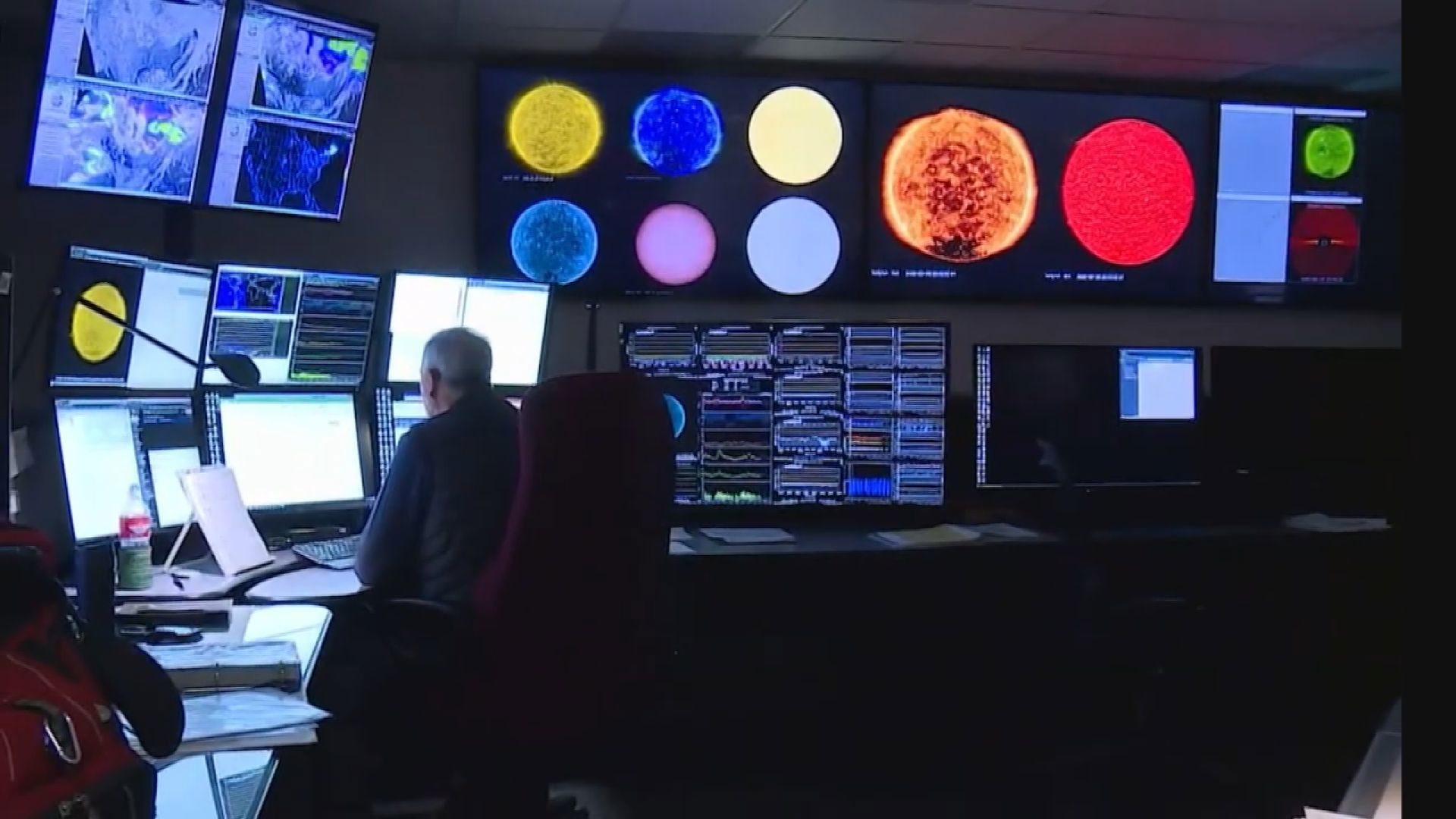
The national Climate Prediction Center issued a La Niña Advisory on Thursday, indicating sea surface temperatures along the equator off South America are colder than normal.
Over the last week, temperatures were cooler than average across all four regions in the Pacific where Niño data is tracked. The water was coldest in the east-central Pacific where temperatures were up to 1.5 degrees Celsius cooler than normal.
This is the signal that a La Niña is forming. Although it is a long way away from the Pacific Northwest, it can have a strong effect on our fall and winter weather.
RELATED: Western Washington forecast
Researchers in the 20th century discovered that the sea surface temperatures in the Pacific Ocean can affect the average storm tracks into our region during the fall and winter. El Niños occur when these temperatures are above average, and they are called La Niña when they are below average.
La Niña is associated with above normal rainfall for western Washington and in some years below normal temperatures. The winter correlation with cooler than normal temperatures isn't as strong as it is to above normal rainfall. But usually it is good news for skiers and snowboarders.
The center said there was a 75% chance that these conditions would continue through winter in the Northern Hemisphere.
According to the probability forecast from the Climate Prediction Center and the International Research Institute for Climate and Society, the likelihood of La Niña conditions is greatest over the three-month period from October to December (79%) and gradually decreases through winter. From January through March, there's a 65% chance of La Niña conditions.
Right now it looks like it might be a weak to moderate La Niña, but this only refers to how far below average the sea surface temperatures fall. It doesn’t seem to have any direct connection to how strong their influence is on our weather.
Most of the effects of El Niño/La Niña occur after the beginning of January.
However, there are no guarantees that this will happen. What La Niña and El Niño do is push the odds towards one type of winter or another. It loads the dice for a certain kind of winter, but you can end up “rolling” something else. And there can be single big storms that are different from the rest of the winter.
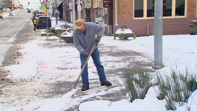
Lowland snow is a good example. Western Washington’s last really big and extended snowfall was December 2008 to January 2009. These storms paralyzed much of western Washington for weeks. And it was a La Niña winter. However, record snowfall in February 2019 was during an El Niño winter that had been warm and dry until the snowstorm struck.


