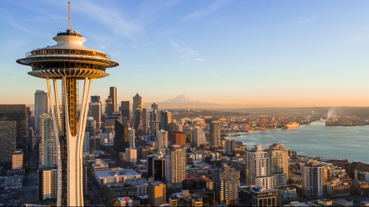
SEATTLE — Multiple daily temperature records were broken around the Puget Sound region on Thursday, with more high temps to follow on Friday.
KING 5 has activated First Alert for this weather event, due to abnormally high heat for this time of year and increased fire risk.
The late summer heat wave has pushed temperatures 10 to 20 degrees above average for the beginning of September.
Record high temperatures were set in the south and north Puget Sound areas and on the peninsula. Here are the ones the National Weather Service recorded:
- Quillayute set a new daily temperature record of 96 degrees. The old record of 87 was set in 2014
- Olympia set a new daily temperature record of 95 degrees. The old record of 91 was set in 1973
- SeaTac set a new daily temperature record of 90 degrees. The old record of 88 was set in 1973
- Seattle set a new daily temperature record of 89 degrees. The old record of 88 was set in 1944
Hoquiam tied its old temperature record of 89 degrees first set in 1955.
A 90-degree day in September is rare in western Washington -- it's only happened 13 times in the last 40 years, according to NWS. Between 1991 and 2011, it didn't happen a single time, but the last September 90-degree day was two years ago, in 2022.
Temperatures will near or surpass 90 degrees again on Friday around the region. A Heat Advisory remains in effect for much of western Washington until 11 p.m. This means there is a moderate risk of heat-related illness, especially for people who do not have access to effective cooling or adequate hydration.
Back-to-back 90-degree days in September have only occurred three times in the past - with a potential fourth on Friday.
For much of the interior lowland areas, temperatures will cool only slightly from Thursday, with highs expected to remain 10 to 15 degrees above normal. The coast will cool down by about 10 to 15 degrees Friday.
A Red Flag Warning is in effect for the Olympics and western slopes of the Cascades (mainly above 1,500 feet) through Friday night. Elevated winds, low humidity, and warm temperatures may lead to critical fire weather conditions.
Additionally, smoke haze from regional wildfires will move into western Washington on Friday and Saturday, but most of the smoke should stay elevated. Some smoke may mix down to the surface, but we're not expecting area-wide major drops in air quality.
Temperatures will begin to trend downward into next week, with high temps in the upper to mid-70s. Conditions will stay mostly dry with the next chance of rain coming on Tuesday.