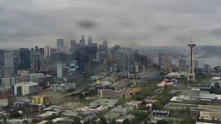
SEATTLE — Fall is in full swing as western Washington’s weather pattern shifts to cooler and wet conditions. The latest systems could even bring the possibility of snowflakes in the mountains and an atmospheric river in the northern counties.
A system moving in is expected to spread steady rain into the lowlands by Wednesday morning. There’s a slight chance for thunderstorms, especially near King and Snohomish counties, where a convergence zone could form, according to the KING 5 First Alert Weather Team.
On Wednesday night, snow could fall in the Cascade Mountains as low as 4,000 feet. The ground is still warm, so meaningful snow accumulations are not expected. However, it could be slushy in places like Stevens Pass, which is at 4,061 feet, or the North Cascades Highway, which has passes around 5,000 feet.
The lowlands could see between 0.5 and 0.75 inches of rain between Wednesday and Thursday, and the Cascade foothills and the coast could get up to an inch or more, according to the National Weather Service.
Showers are expected to decrease Thursday before a high-pressure system moves through western Washington on Friday.
Behind that high pressure is an atmospheric river that is expected to move down from British Columbia on Friday night. Models show the heaviest rainfall is expected north of the Canadian border, but some of the rain could extend into the Puget Sound region on Saturday, according to KING 5 meteorologists.
RELATED: What is an atmospheric river?
The weather service said the atmospheric river would provide “much needed” moisture for the region, as it’s on track for the third driest year in the last 30 years.
As of Oct. 14, Seattle-Tacoma International Airport has recorded 0.8 inches of rain this month. Normally, Seattle gets 1.38 inches in the first two weeks of the month.


