SEATAC, Wash. — It has been rather chilly lately, but did you know that it's actually pretty rare to see record lows recorded at Sea-Tac?
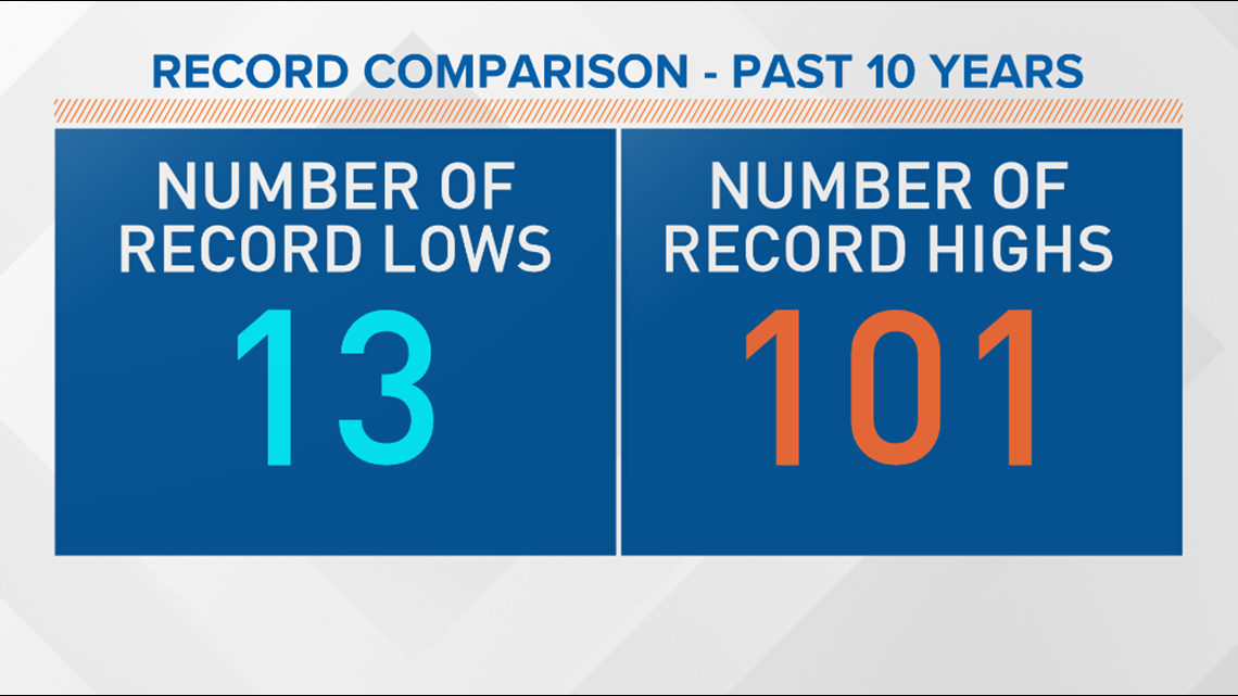
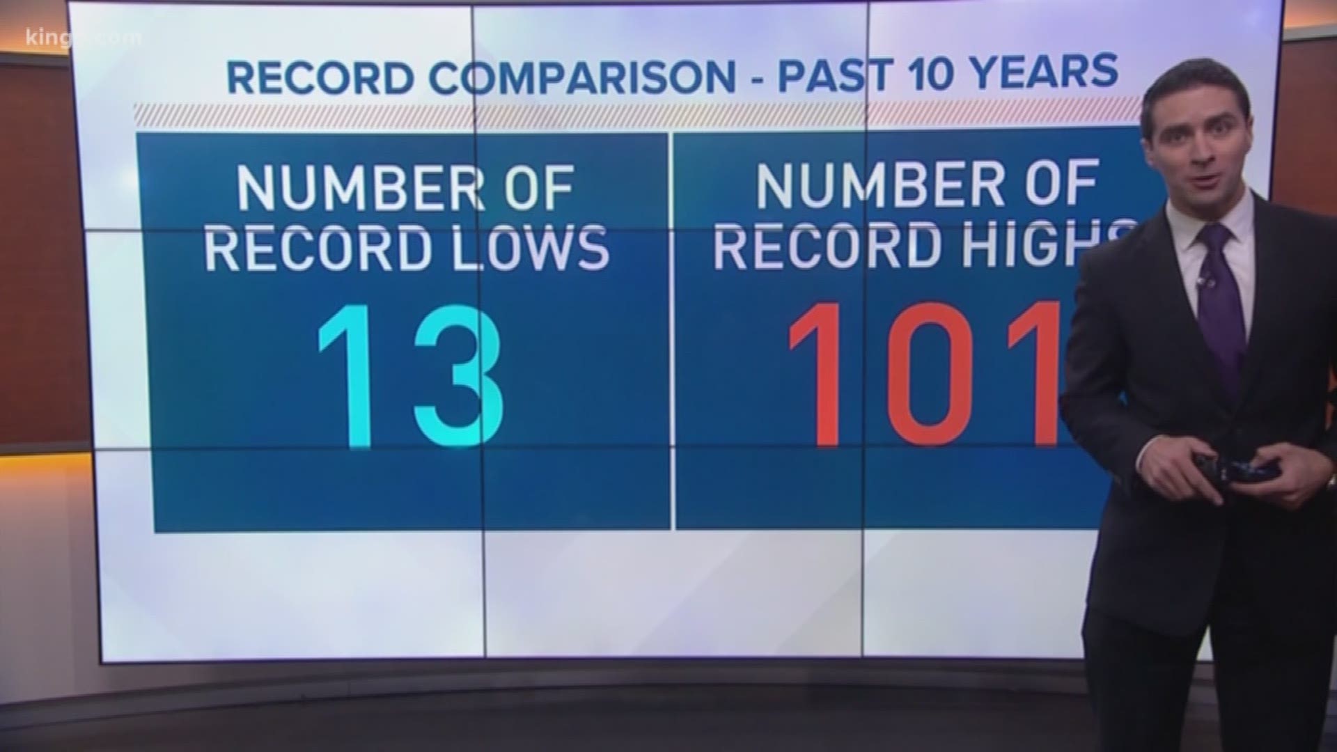
Sea-Tac Airport is the official station for weather records in the area. In the past 10 years, the station has recorded 13 record low temperatures. During that same time frame, it has recorded 101 record highs.


Part of the warm bias has to do with climate change. But there are other factors at play.
First off, "the blob," an area of warmer-than-normal water off the coast in the eastern Pacific in 2015 and 2016, is partly to blame. It can prevent overnight temperatures from dropping to record low levels. There's currently a mini-version of "the blob" happening off the coast right now.
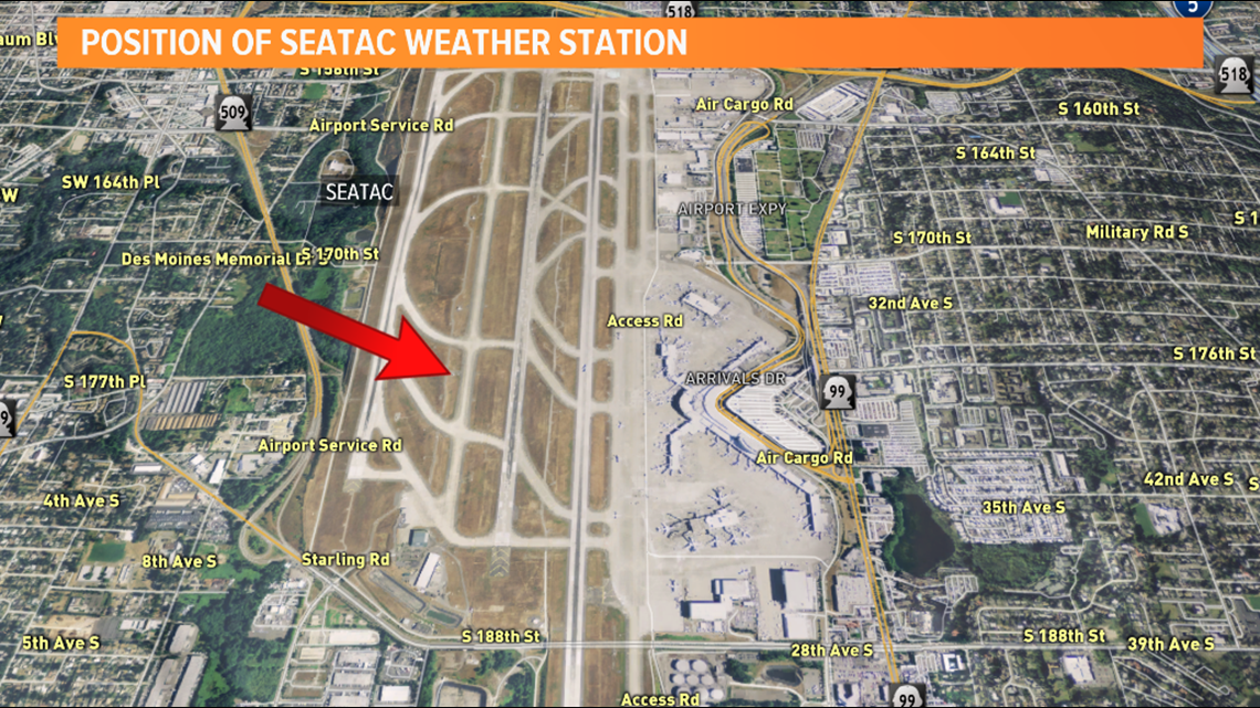
Next, think of the location of the weather station. It's in the middle of an airfield elevated hundreds of feet above neighborhoods below, surrounded by relatively new urban development. This is where the phrase "urban heat island" comes into effect.


There has been talk within the weather community to move the official weather station away from Sea-Tac to a place more representative of weather in the area. Until that happens, there will likely be more warm temperature bias in the years to come.


