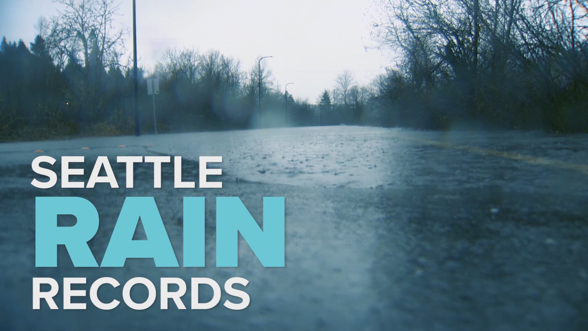
SEATTLE — Where’s the rain, Seattle?
The Emerald City is experiencing the driest start to the year since 2008, and the fourth driest in the last 35 years, according to the National Weather Service.
Sea-Tac International Airport recorded 11.87 inches of rain from January through April, which is 5.02 inches below average.
The city made up a tiny bit of the rainfall deficit in April – it was running nearly 6 inches behind as of April 6 – but it wasn’t nearly enough to make up the full difference. Seattle saw 3.86 inches of rain in April, which is 0.68 inches above normal.
A slight paradox to Seattle’s dry winter and spring – the weather service reports Seattle recorded 69 days with rain between January and April, which is two days more than normal. However, there just wasn’t a lot of rain. During that time period, there were only two days where at least half an inch of rain fell, which is the lowest on record.
Western Washington is already feeling the effects of less rainfall with 10 western Washington counties reporting abnormally dry conditions, according to a U.S. Drought Monitor report issued April 27. Abnormally dry conditions indicate an area is going into a drought and that dryness can hinder crops and increase fire danger.
Long-term forecast predictions show Seattle may not be making up the rain shortfall anytime soon either. Over the next month, Washington has equal chances of receiving above or below-normal precipitation, according to a monthly outlook issued by the National Oceanic and Atmospheric Association’s Climate Prediction Center. Between May and July, probabilities lean toward below-normal precipitation.

