SNOQUALMIE PASS, Wash. — All lanes of US 2 over Stevens Pass are back open after crews conducted avalanche control work early Monday morning.
The Washington State Department of Transportation (WSDOT) tweeted avalanche control work was underway by 4:30 a.m. Both directions of US 2 were open to traffic by 5 a.m. Avalanche control work typically takes 30 minutes to two hours to complete.
Stevens Pass received 20" of snow Saturday night into Sunday morning. Here are the 24-hour snowfall accumulations as of Sunday:
- Stevens Pass: 20"
- Mt. Baker: 13"
- Crystal Mt.: 11"
- Snoqualmie Pass: 8"
- White Pass: 6"
The WSDOT is asking drivers to take it slow over the passes and to be prepared for winter weather driving conditions.
RELATED: Western Washington Forecast
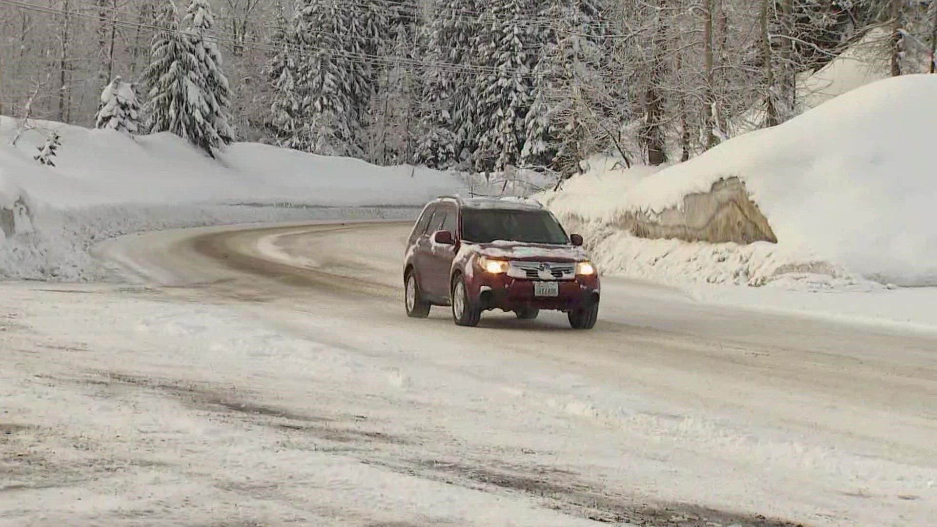
As of 6:20 a.m. Monday, the WSDOT reported "snow, slush and ice" on Stevens Pass. Traction tires are advised, and oversized vehicles are prohibited in both directions.
On Snoqualmie Pass, the WSDOT reported snow and slush on the roadway. Chains are required for all vehicles except all-wheel drive. The WSDOT said drivers should expect added travel time "due to adverse weather conditions."
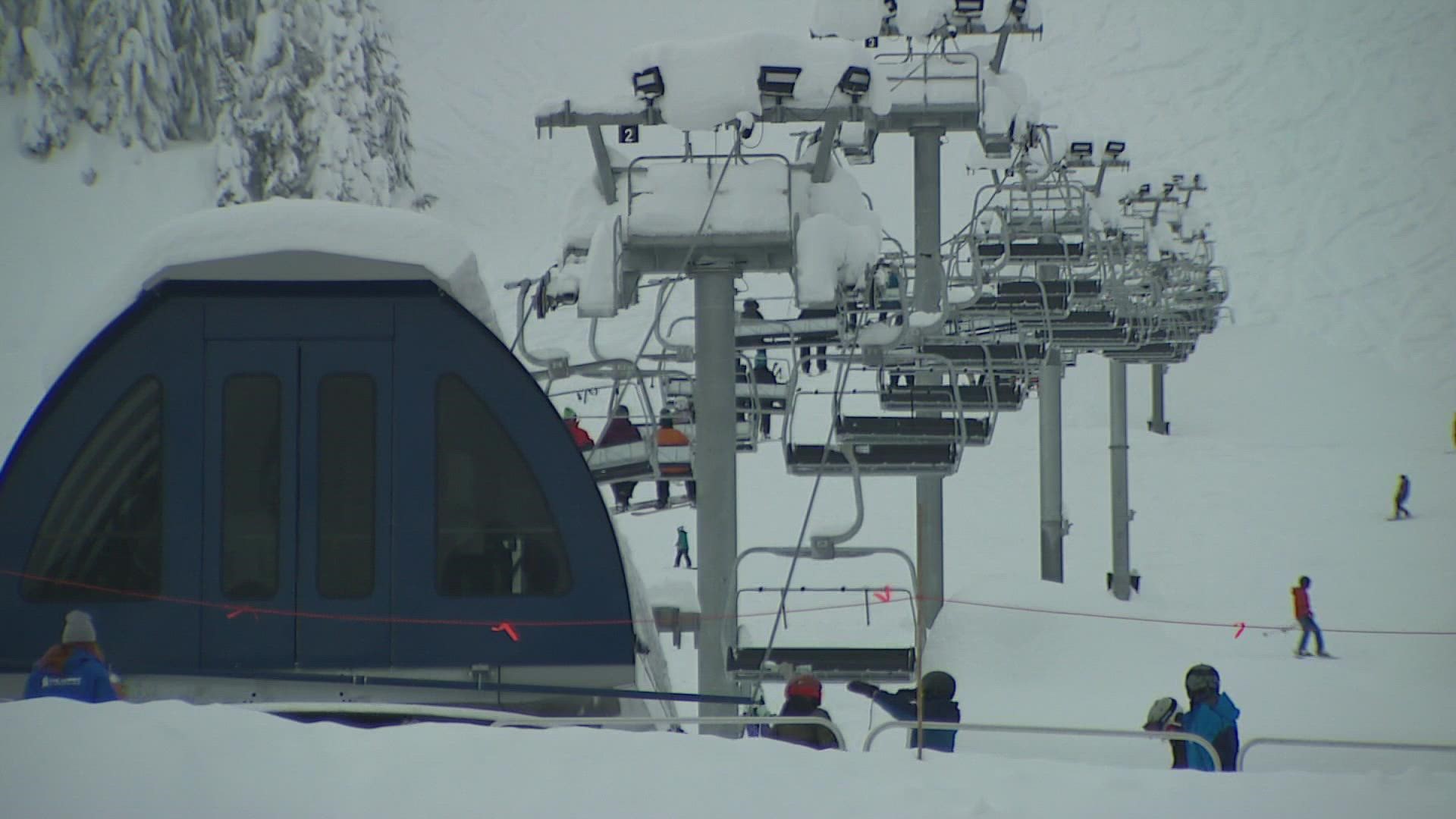
Peter Dale, Director of Mountain Operations at Crystal Mountain, said crowds this holiday weekend will be as busy as any other weekend this season, but noted the demand to enjoy fresh powder, is there.
"We really ask that you try to stay in control, stay safe; we know everybody is really excited to get out, but be patient with others," Dale said.
Dale added, visitors should be mindful of snow conditions on the slopes.
"Conditions are still firm underneath this little bit of new snow, so use caution. Our legs might be as strong as we want them to be on most normal years," Dale said.
At the Summit at Snoqualmie, staff also said crowds don't expect to be larger than what is typical for the season, but recommends guests buy passes in advance to check if they've been sold out.
Parking will be available for everyone, but Summer East, Alpental, and Summit West tend to fill first in peak times, according to Snoqualmie staff.
In the lowlands, the National Weather Service (NWS) reported 2-4 inches of snow had fallen by 6 a.m. Monday across Island and western Snohomish counties, and Camano Island.
A Winter Weather Advisory is in effect until 9 a.m. Monday for western Skagit and parts of Snohomish counties, including Everett, Mount Vernon, Sedro-Woolley, Marysville, Stanwood and Port Townsend. The NWS said additional snow accumulations of up to 2 inches are possible in the areas.
A Winter Weather Advisory is also in effect until noon for the lowlands of the eastern Strait of Juan de Fuca, with total snow accumulations between 1-3 inches.
Convergence zone showers mainly north of Seattle could produce a trace to an inch of wet snow at sea level in spots through Monday, with more snow possible for areas above 500 feet towards the Cascade foothills, according to the KING 5 Weather team.
We could see a few rain/snow showers Tuesday morning, but skies will then clear out to sunny and cold weather. Showers are expected to decrease from the north as cold, drier air drops southward.
The NWS said overnight lows Monday night into Tuesday morning for the northern interior area will be in the low-20s, with some areas possibly hitting the low teens with the wind chill.
“This type of cold can be dangerous, and proper precautions should be taken to protect vulnerable populations, sensitive plants, pipes and pets,” the NWS said.
Overnight lows will touch down in the mid-20s Tuesday and Wednesday in the Seattle area. However, the forecast calls for sunnier skies during that time.


